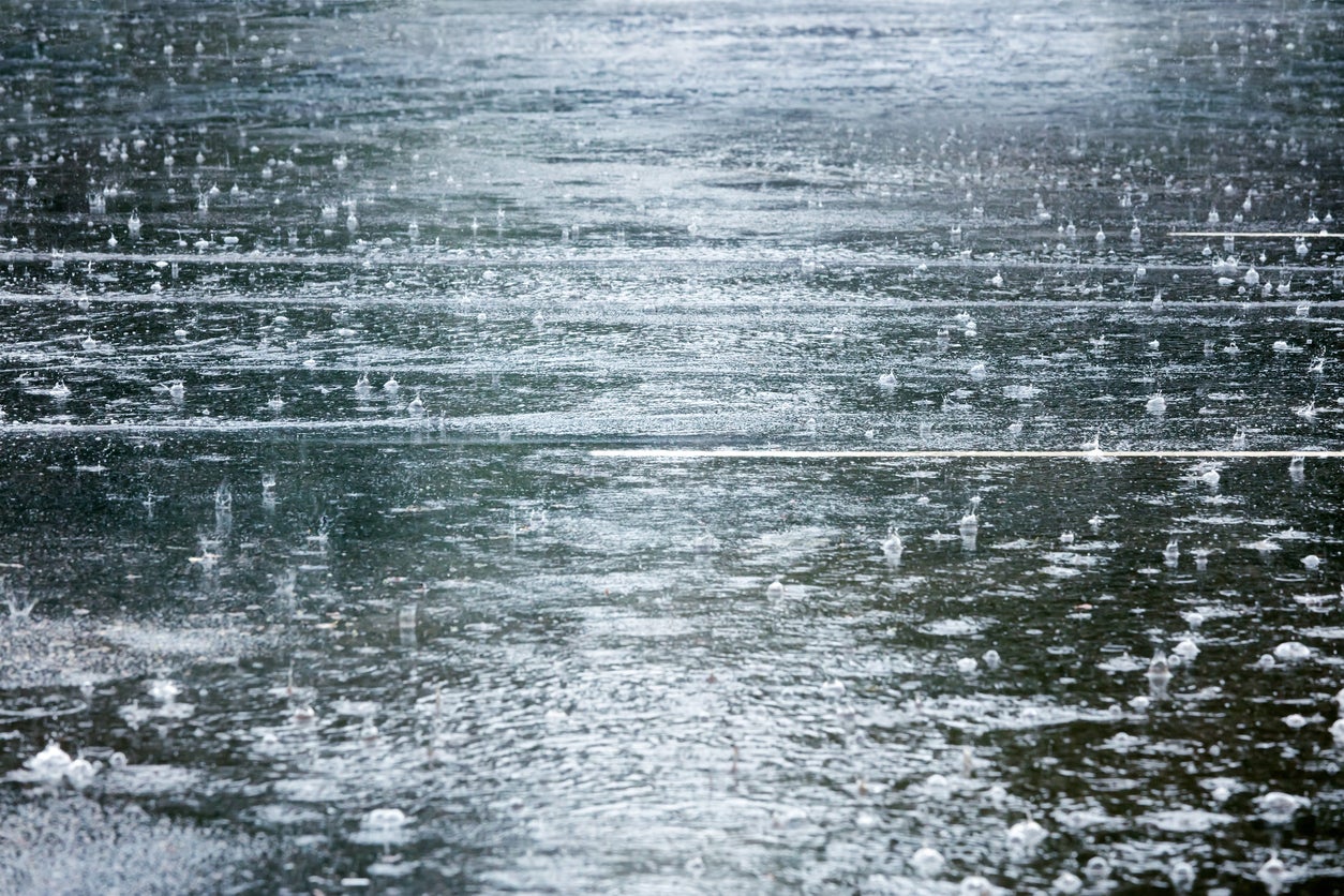
A cold front is moving in, bringing heavy rains and thunderstorms across Wisconsin later Tuesday and through Wednesday.
Ben Miller, a meteorologist with the National Weather Service in Sullivan, says north-central and northwest Wisconsin could see 2 to 4 inches of rain, and that the south-central and southeastern parts of the state may only get half an inch to an inch.
Miller said a flood watch is in effect for the western half of the state. This includes Iowa, Sauk and Lafayette counties. Residents in southern Wisconsin should stay alert for additional river flooding, as many areas remain under flood warning.
Stay informed on the latest news
Sign up for WPR’s email newsletter.
“They’re more numerous more than I could — well, not that I can’t list them off, but it would take forever to list them, all the points on rivers in southern Wisconsin that are in flood,” said Miller.
Some of those points include the Baraboo River affecting Sauk County, the Fox River affecting Racine, Green Lake and Kenosha counties, the Rock River affecting Jefferson and Rock counties, and more. The full list, provided by the weather service can be found here.
Rain, t-storms become more widespread tonight & Wed. Heaviest rain expected west of I-90, with a Flood Watch in effect for parts of S & SW W pic.twitter.com/lYSfeEIxXq
— NWS Milwaukee (@NWSMKX) October 9, 2018
But rain isn’t the only weather pattern to keep an eye on, Miller said.
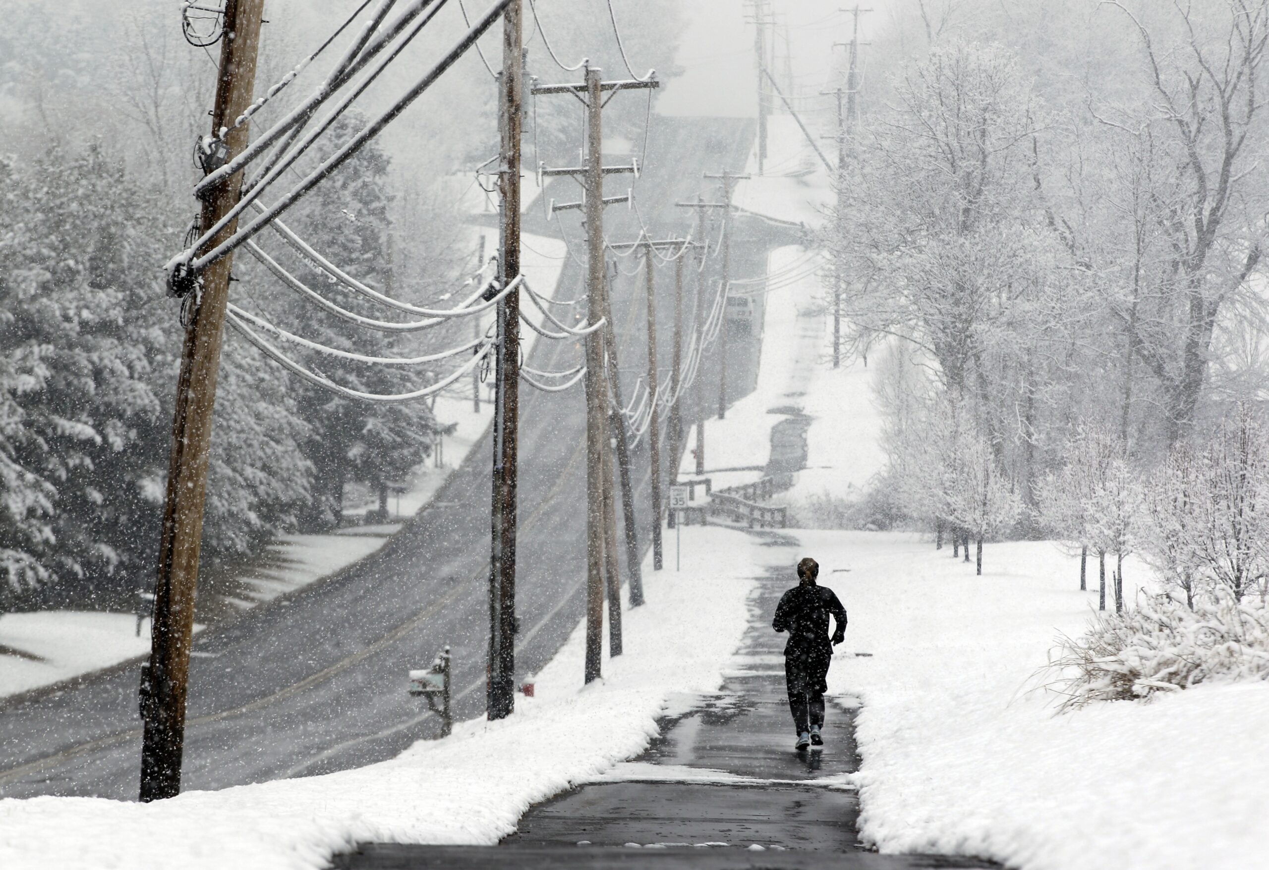
“It’s going to get cold,” he said. “For the end of the week, highs will probably be in the 30s across northern Wisconsin and in the 40s across the south with lows in the 20s up north and 30s in the south and then slowly warming into the weekend.”
Miller said it’ll be coldest air of the fall so far.
Wisconsin Public Radio, © Copyright 2024, Board of Regents of the University of Wisconsin System and Wisconsin Educational Communications Board.