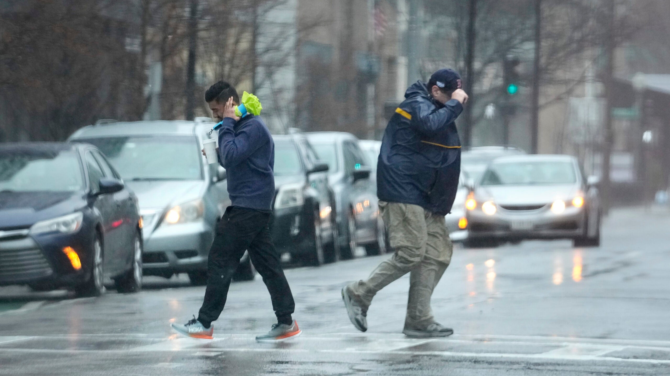
Western and central Wisconsin are bracing for another round of severe storms moving through the area Thursday evening.
Jeff Makowski, meteorologist for the National Weather Service in La Crosse, said some communities could see strong tornadoes, damaging winds and large hail.
“Those storms can move in pretty rapidly from the west,” Makowski said. “At this time of year, it’s getting dark out a little earlier. Some of the storms may be occurring after sunset, so being aware if you’re out on the roads or traveling of the threat that would be coming into the area.”
Stay informed on the latest news
Sign up for WPR’s email newsletter.
Makowski said several waterways are already running high after rain Thursday morning, especially in southwestern counties.
“There has been some flooding reported, especially in Grant County with some water over roads in some areas and some of the creeks and streams have risen out of their banks,” Makowski said.
He said storms this evening won’t bring a lot of new rain, but any additional precipitation could worsen current problems.
The storms will affect many communities still recovering from widespread flooding at the beginning of the month.
“There’s been some roads that have been repaired throughout the county but obviously they don’t have everything repaired form the last big storm we had this year,” said Lt. Ronald Rader of the Monroe County Sheriff’s Office. “It obviously could make it worse depending on the amount of rain we get at one time, the area we get it in and the flow of that.”
Rader said officials are monitoring water levels throughout the county. He said any residents in flood-prone areas should consider finding other places to stay ahead of this evening’s storms.
Short video briefing from NWS La Crosse detailing the severe weather potential today. https://t.co/bm1oMVMwPs
— NWS La Crosse (@NWSLaCrosse) September 20, 2018
Wisconsin Public Radio, © Copyright 2024, Board of Regents of the University of Wisconsin System and Wisconsin Educational Communications Board.