A spring storm that struck Wisconsin Wednesday night and Thursday wasn’t nearly as bad as predicted, mostly due to lower-than-expected winds speeds.
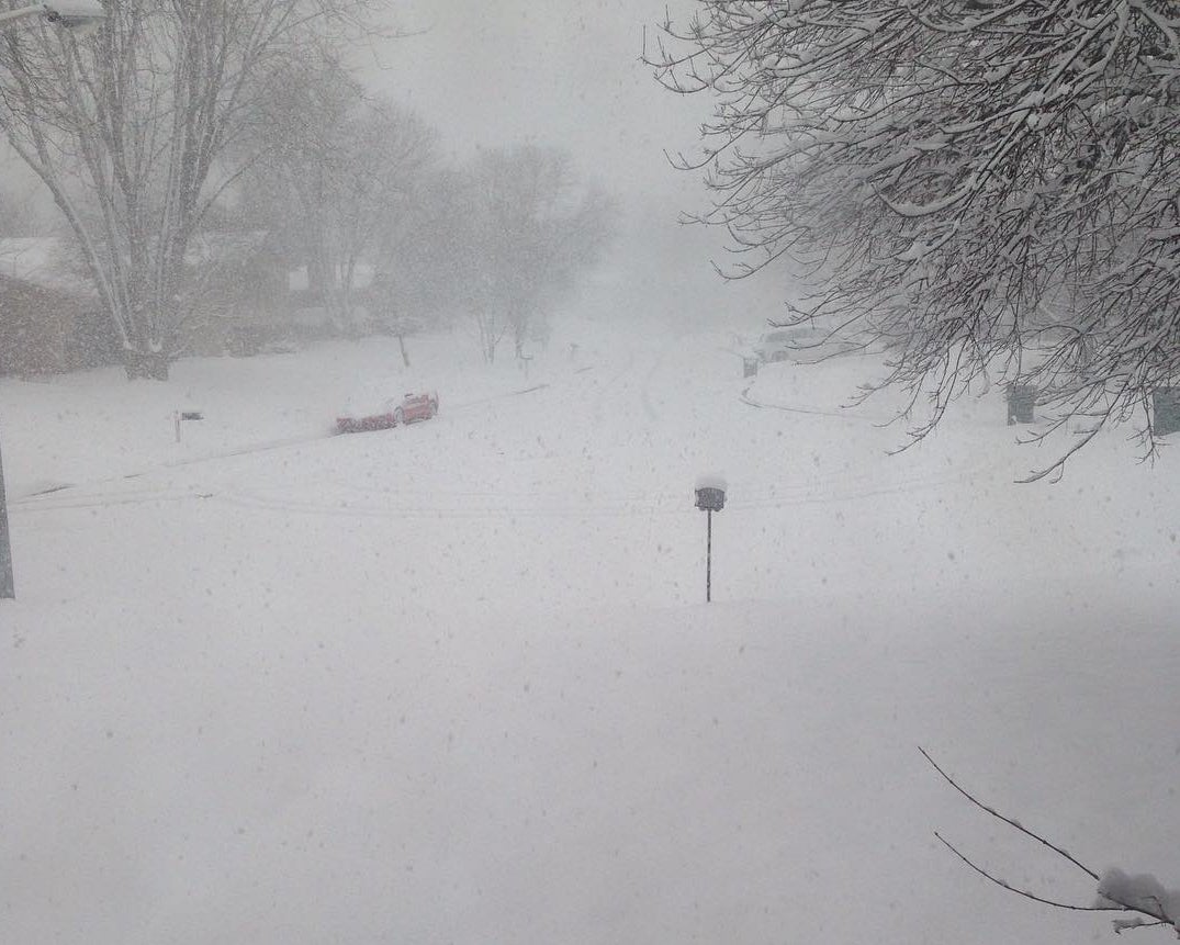
Scott Berschback, a meteorologist with the National Weather Service in Green Bay, said that the blizzard didn’t live up to expectations in many areas. That said, much of western, central, and northeastern Wisconsin still got between 6 and 12 inches of snow.
“We had a swath of 8 to 12 (inches), locally higher amounts stretching from the Wausau area toward far northeastern Wisconsin. The area that (was) hit hardest was just a little farther north than we had forecast in previous days,” he said.
Stay informed on the latest news
Sign up for WPR’s email newsletter.
Berschback said that some areas got as much as 14 inches of snow.
Area emergency management agencies apparently dealt with the storm well.
“Surprisingly, the amount of accidents were considerably less compared to a somewhat comparable storm that took place back in late December,” said Justin Steinbrinck, the emergency management coordinator for Brown County, which includes Green Bay.
Steinbrinck said roads should be in relatively good shape for the Friday morning commute, at least in Brown County.
Wisconsin Public Radio, © Copyright 2024, Board of Regents of the University of Wisconsin System and Wisconsin Educational Communications Board.