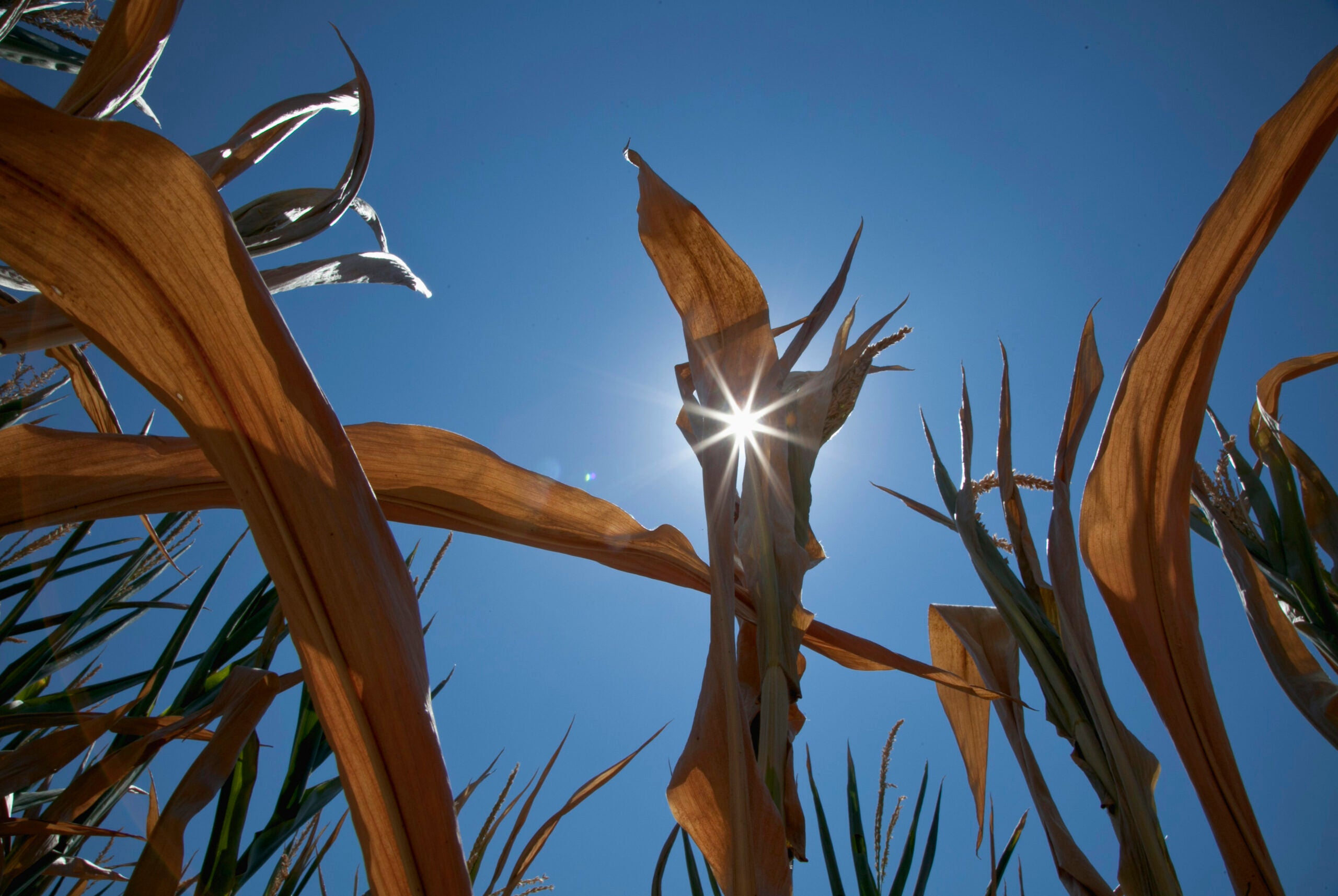
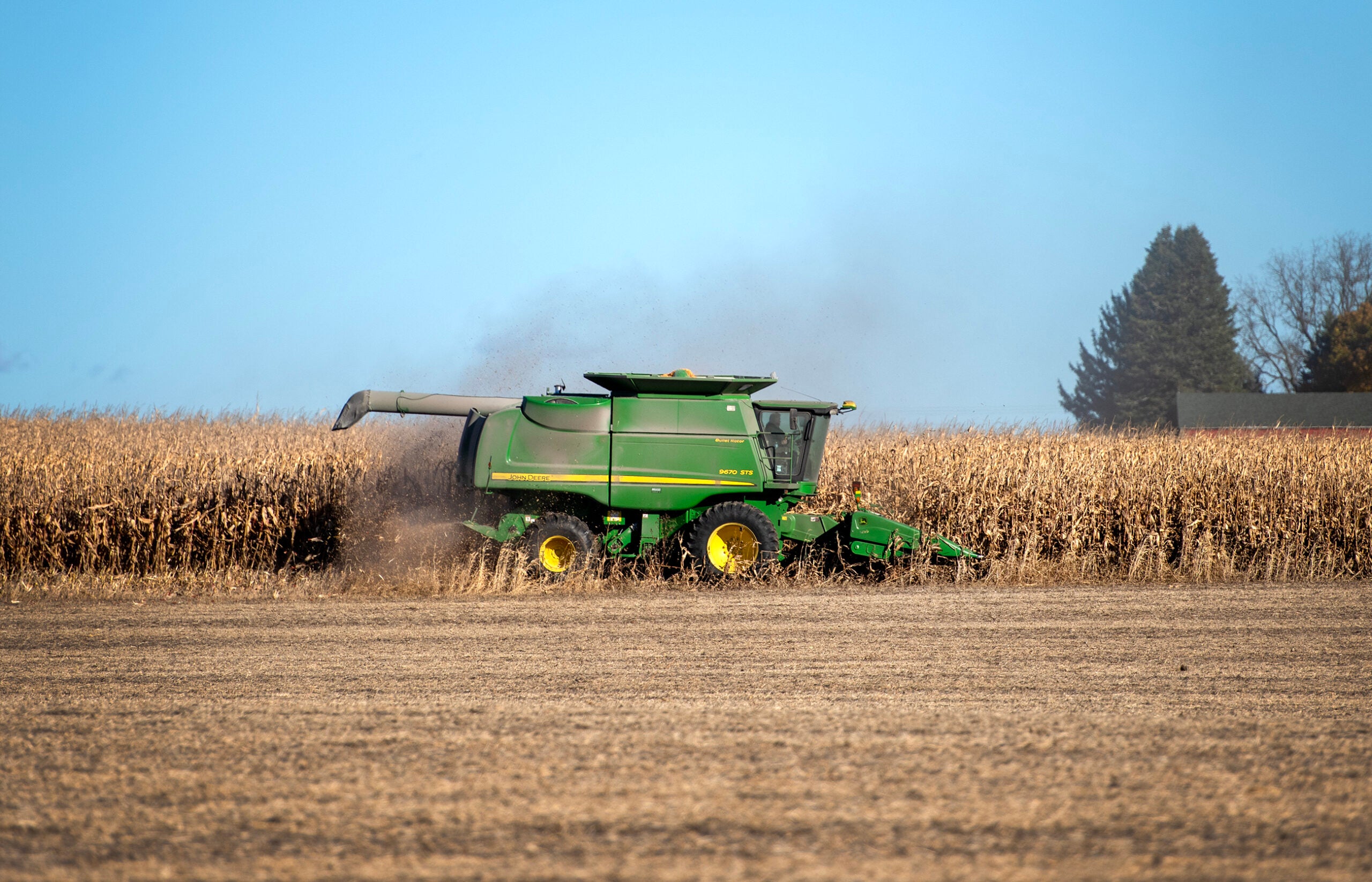
An abnormally dry spring is causing concern for farmers in the southern and northwestern parts of Wisconsin. Some regions have seen up to three inches less rain than normal during the past three months.
The U.S. Drought Monitor’s map of Wisconsin shows large swatches of abnormally dry conditions in the northwest and most of the southern half of the state. The far southeastern corner of Kenosha is experiencing a moderate drought.
“It’s extremely dry,” Kenosha County farmer Randal Rossi said. “We’ve missed some rains, and we just got to hope for rain. You can’t change the weather, you just wait for it to rain. If it don’t rain it’s going to be a problem.”
Stay informed on the latest news
Sign up for WPR’s email newsletter.
UW-Extension Crops and Soils Educator for Chippewa, Dunn and Eau Claire Counties, Jerry Clark, said following a pretty wet period earlier this spring, farmers were able to plant their crops on time when things dried out.
“We are seeing some irrigation already on some lighter soils, not just from the crop management side of it, but from the weed management, just because some of these herbicides need water to activate,” Clark said.
That could pose weed management problems for farmers later in the growing season. Clark said the young crop planted this year is searching for water. He said roots will grow deeper into the soil.
“But when those crops really start to pull that moisture out of that top six inches of soil, that’s when you start to have a concern of the future of the crop, because that soil profile, it takes that much more water to moisten all of that profile and not just the top couple of inches,” Clark said.
Kate Abbott is a meteorologist with the National Weather Service in La Crosse. She said Wisconsin’s average precipitation for the month of May is between 3.5 and 4.5 inches, but many areas of the state had less than an inch of rain in May this year.
“So, some locations are maybe three inches or more below average for rainfall,” Abbott said.
Two of the drivers for the abnormally dry weather, Abbott said, are a shift to an “El Niño-like” weather pattern and a blocking ridge of high pressure that brought with it warm, and especially dry, air.
“And this blocking ridge sat over the upper Midwest for a number of days, which essentially prevented rainfall and really limited what we were able to see precipitation-wise through the month of May,” Abbot said.
Looking ahead, Abbott said the next six-to-10 days are expected to bring below average precipitation across Wisconsin. The National Weather Service’s Climate Prediction Center is forecasting above average temperatures and below average rainfall during the month of June.
Wisconsin Public Radio, © Copyright 2025, Board of Regents of the University of Wisconsin System and Wisconsin Educational Communications Board.
