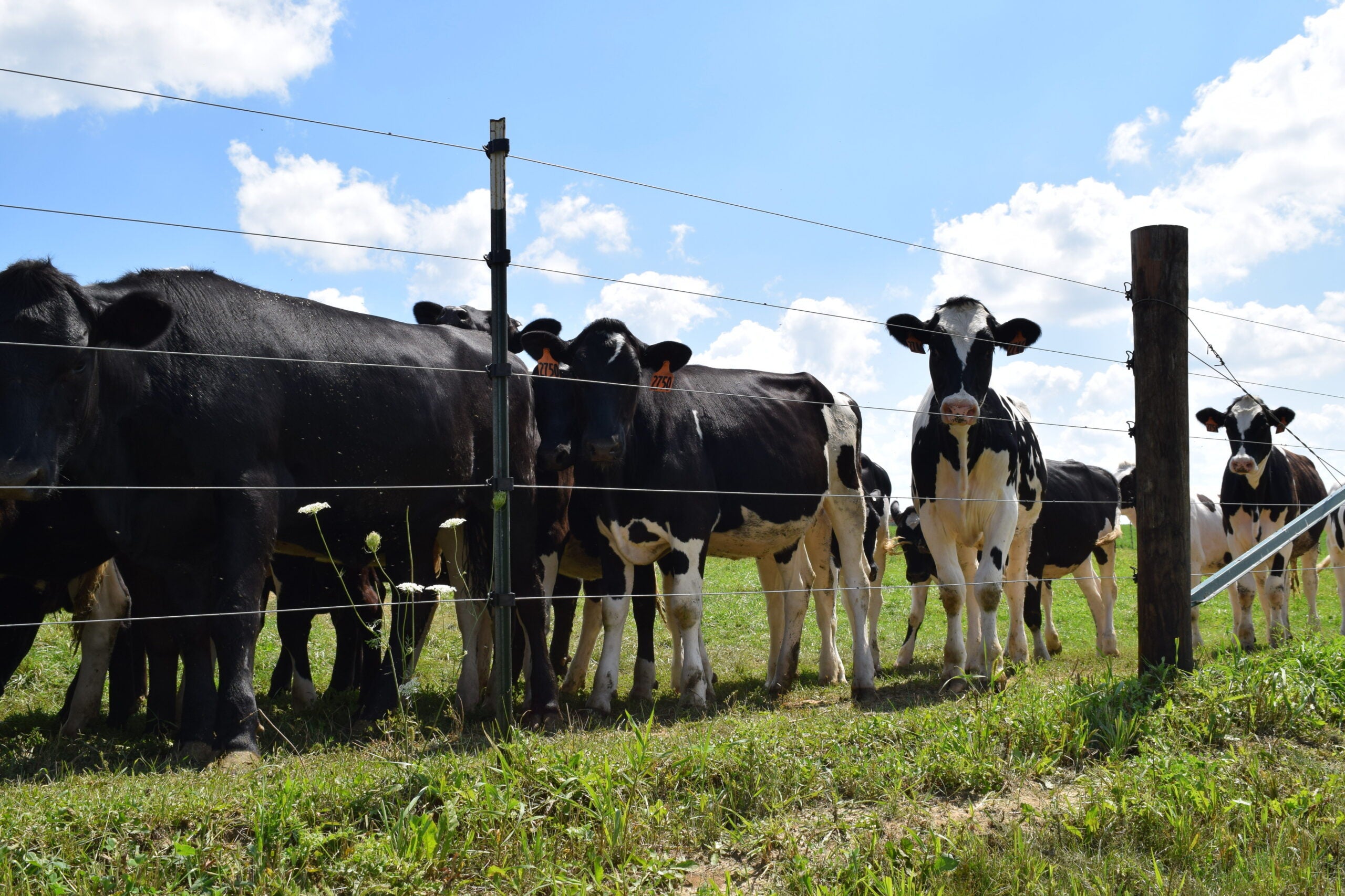
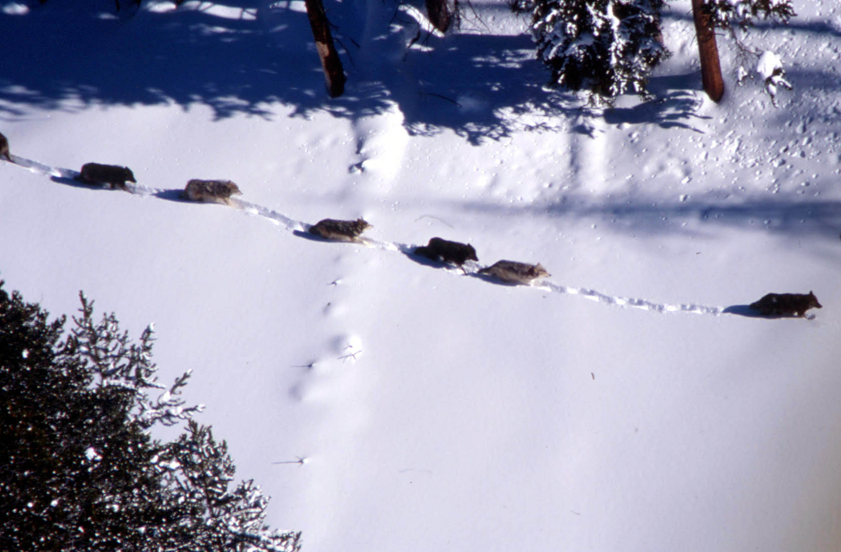
Authors of an updated study of wolf threats to Wisconsin livestock say they have a proven way to lower the risk of animal deaths.
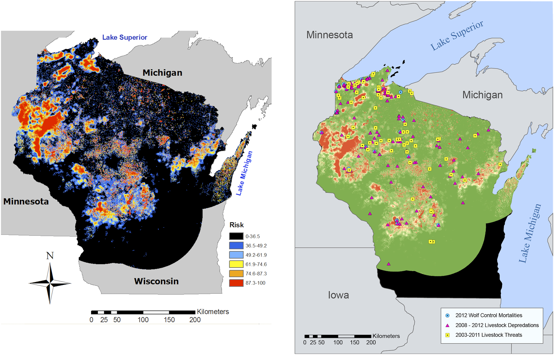
University of Wisconsin-Madison researchers have tested a map they put out six years ago that showed verified reports of where grey wolves attacked livestock in the state. The updated findings show that “risk map” predicted the geographic area of about 90 percent of subsequent attacks.
Lead author and UW environmental studies professor Adrian Treves said the model works, and should lead to more non-lethal prevention.
News with a little more humanity
WPR’s “Wisconsin Today” newsletter keeps you connected to the state you love without feeling overwhelmed. No paywall. No agenda. No corporate filter.
“Things that farmers can do for themselves and sometimes the state can help them pay for, so that no animals are killed — livestock nor wolves,” Treves said.
Treves also said the map should help farmers take preventive measures, regardless of whether a wolf hunt ever resumes in Wisconsin.
“Livestock owners across the state need some kind of a solution,” Treves said. “It’s in the interest of the state and of the owners to protect their livestock from predators, and what we’re offering is a tool for where the risk is highest.”
The greatest threat for wolves attacking livestock occurs in about 7 percent of the state, all of it in northern Wisconsin. He said farmers can deter wolves by more use of guard dogs, electric fences, and a system of colored flags known as fladry.
The maps and findings are published in the scientific journal PLOS ONE.
Wisconsin Public Radio, © Copyright 2025, Board of Regents of the University of Wisconsin System and Wisconsin Educational Communications Board.

