When considering the 2015 avian influenza epidemic in the U.S., it’s important not to assume that the disease spread according to any one neat geographical pathway. That would be oversimplifying a complex tangle of contagion, in which wild birds can pass the virus on to domesticated poultry while humans can inadvertently spread it from farm to farm via their clothes and vehicles. Indeed, agriculture and public-health officials have yet to unravel the complex epidemiology by which 48 million domesticated birds nationwide were exposed to the deadly virus.
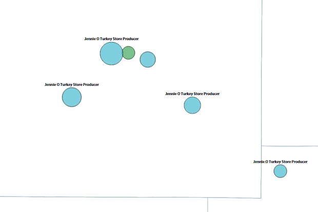
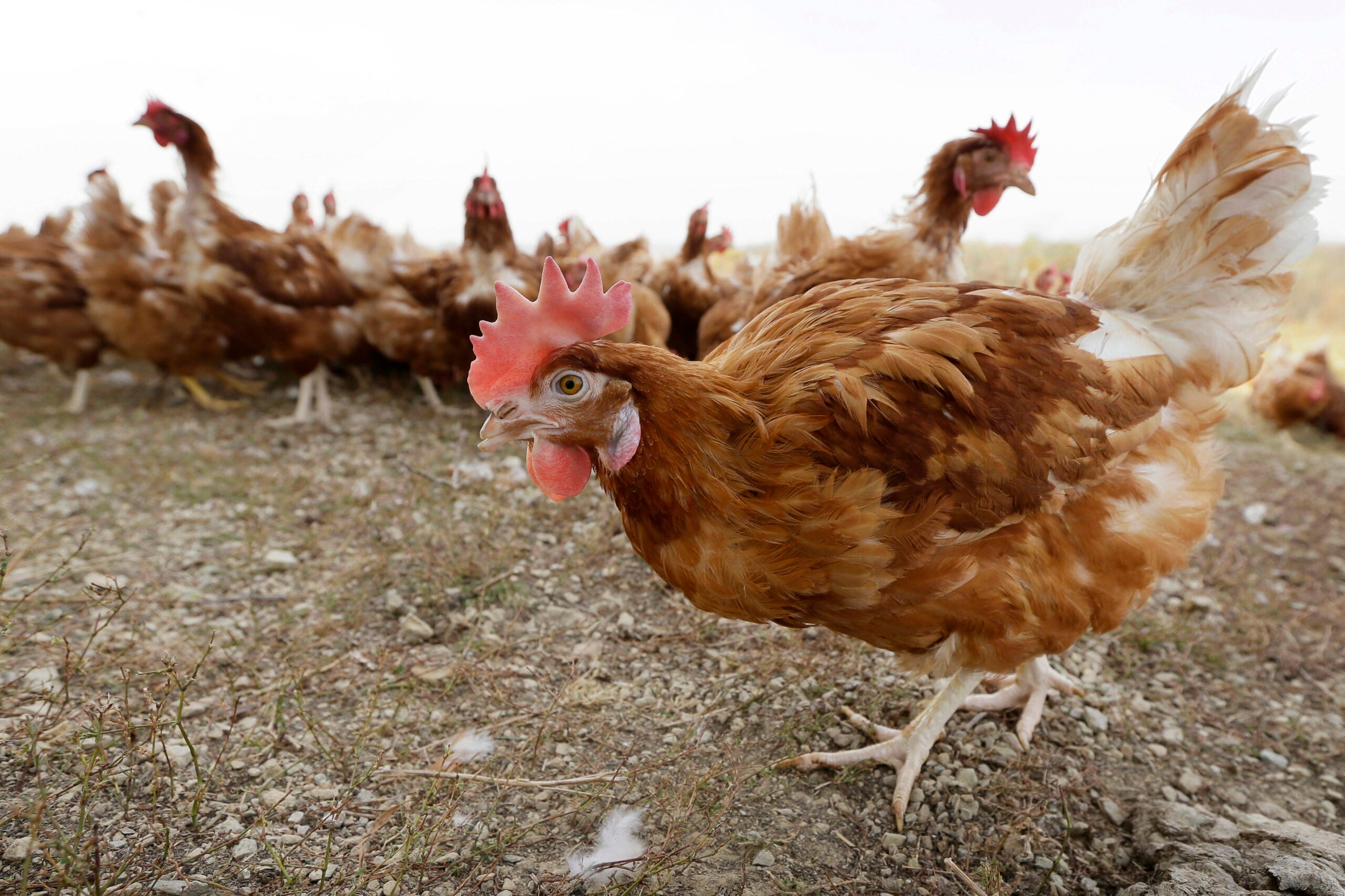
That said, all but one of Wisconsin’s avian flu cases in the epidemic centered around two major areas: turkey producers in Barron and Chippewa counties and egg-laying operations in Jefferson County. (Avian influenza also struck a backyard poultry flock of 33 birds in Juneau County.)
News with a little more humanity
WPR’s “Wisconsin Today” newsletter keeps you connected to the state you love without feeling overwhelmed. No paywall. No agenda. No corporate filter.
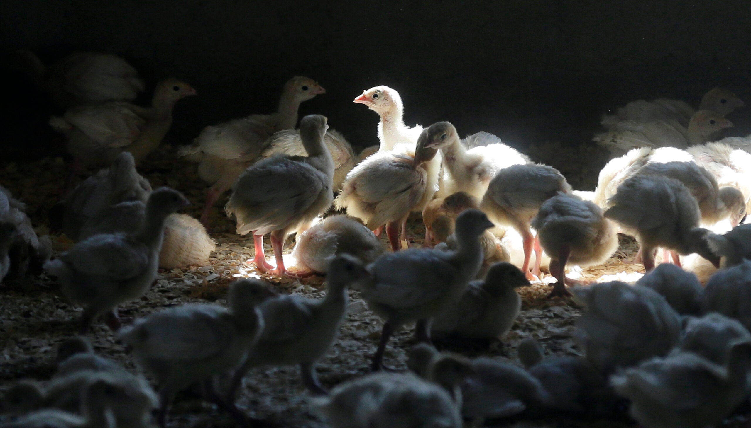
This interactive map, created with data from the Wisconsin Department of Agriculture, Trade and Consumer Protection, shows all 10 Wisconsin locations where the influenza struck in this epidemic, with circle size indicating the numbers of birds lost. The three yellow circles represent egg-laying chickens in southeastern Wisconsin. Five blue circles indicate farms raising turkeys for meat in northwestern Wisconsin; a green circle in their midst represents a facility that lost 16,054 breeding turkeys and 41,760 fertilized turkey eggs. All six of these turkey operations serve the Jennie-O turkey processing plant in Barron. The backyard flock in Juneau County shows up as a tiny dot, dwarfed by large-scale commercial poultry farms that lost tens or hundreds of thousands of birds at a time.
The map also notes the dates when avian flu was confirmed at each location, and the date on which the state released each farm (and neighboring farms within a 10 km/6.2-mile radius) from quarantine conditions. Zoom in on each cluster of avian-flu cases for a more detailed look at how the epidemic played out across the state.
Learn more in a comprehensive overview about the avian influenza epidemic in Wisconsin.
This report was produced in a partnership between Wisconsin Public Radio, PBS Wisconsin and the University of Wisconsin Cooperative Extension. @ Copyright 2025, Board of Regents of the University of Wisconsin System and Wisconsin Educational Communications Board.


