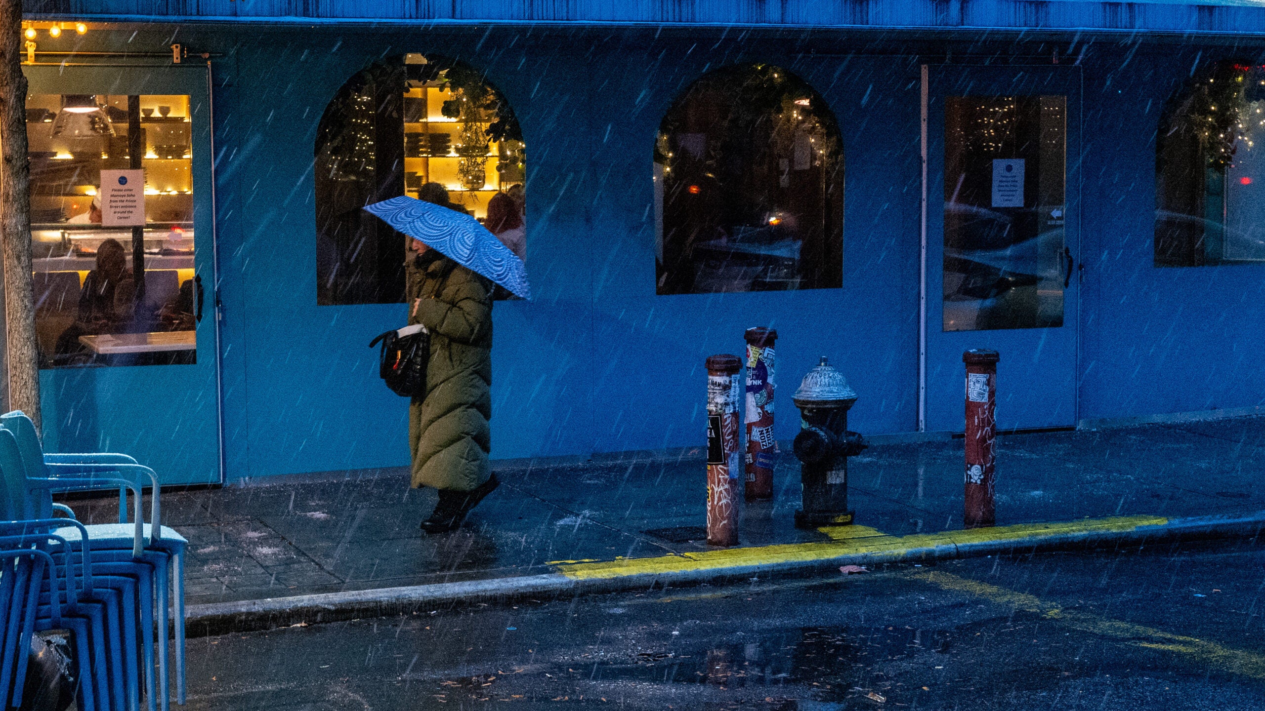
A second winter storm in three days could drop as much as a foot of snow Tuesday on much of central Wisconsin, making it tough for some voters to get to the polls.
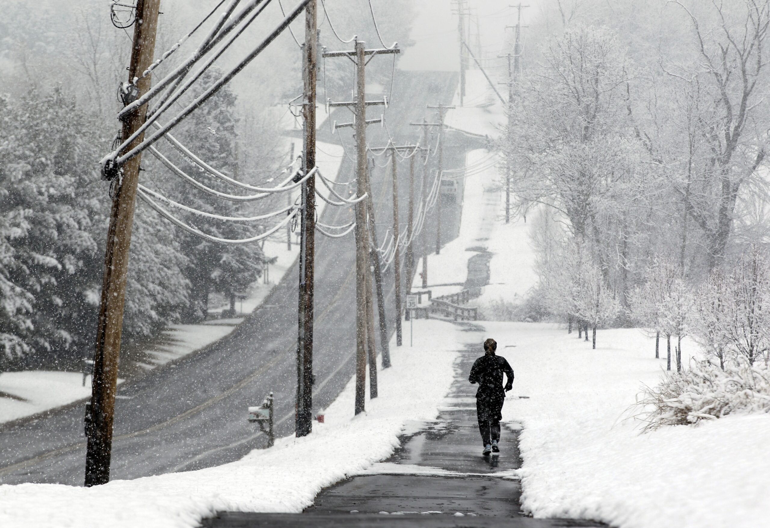
Chad Franzen, meteorologist at WSAW-TV in Wausau, said 8 to 12 inches of heavy, wet snow could blanket the region Monday night through late Tuesday.
On Saturday, a winter storm dropped between four and 12 inches on the northern half of the state.
Stay informed on the latest news
Sign up for WPR’s email newsletter.
“We just got through one snowfall. We’ve got another heavy one coming up for Tuesday. And it still looks like a pretty active and cool weather pattern for the next week or two,” Franzen said.
He said the latest snowfall would be hard to shovel, and could clog smaller snowblowers.
“You get your high temperatures back in the lower 30s, so you get that heavy, wet snow, the slushy stuff, that really packs up and accumulates, and it becomes very hazardous to try to remove. Shoveling those kind of heavy snow events is a tough chore for a lot of people,” Franzen said.
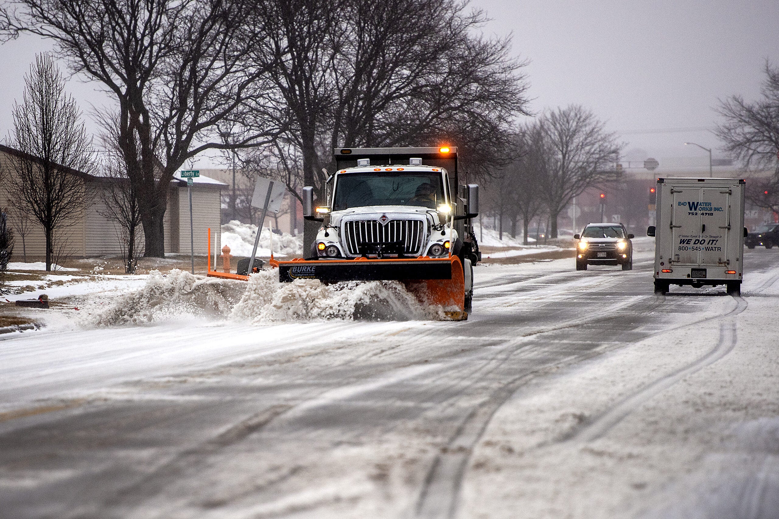
He said travel could be hazardous in central Wisconsin.
“When we get these kind of heavy snow events, you also can have some issues with some power outages in addition to traveling, which certainly would not be recommended for a good portion of Tuesday late morning through the early afternoon,” Franzen said.
Accumulation is expected to be less in the far northern part of the state. The snow will be mixed with rain in the south.
Franzen said snow isn’t unusual in north central Wisconsin in April, but back-to-back snow storms don’t often occur this late in the season.
Slower commutes possible on Tuesday, especially north of I-94. Snow begins tonight and continues into tomorrow night north of I-94; mix to snow south of there. #swiwx pic.twitter.com/zRhhju5bfM
— NWS Milwaukee (@NWSMKX) April 2, 2018
Wisconsin Public Radio, © Copyright 2024, Board of Regents of the University of Wisconsin System and Wisconsin Educational Communications Board.
