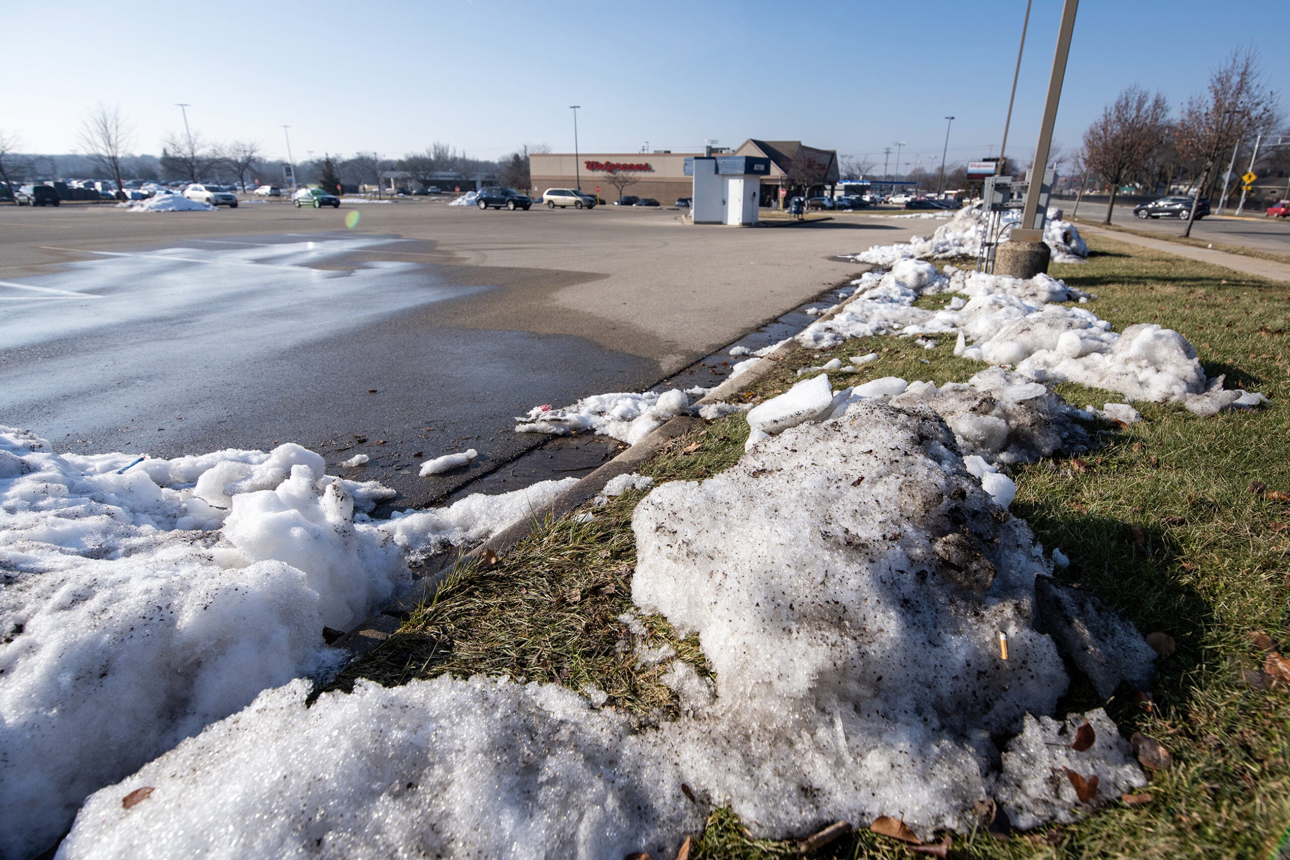
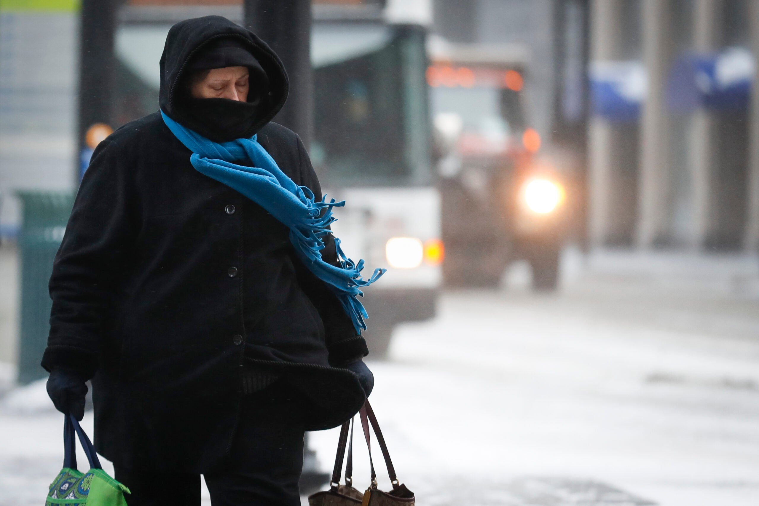
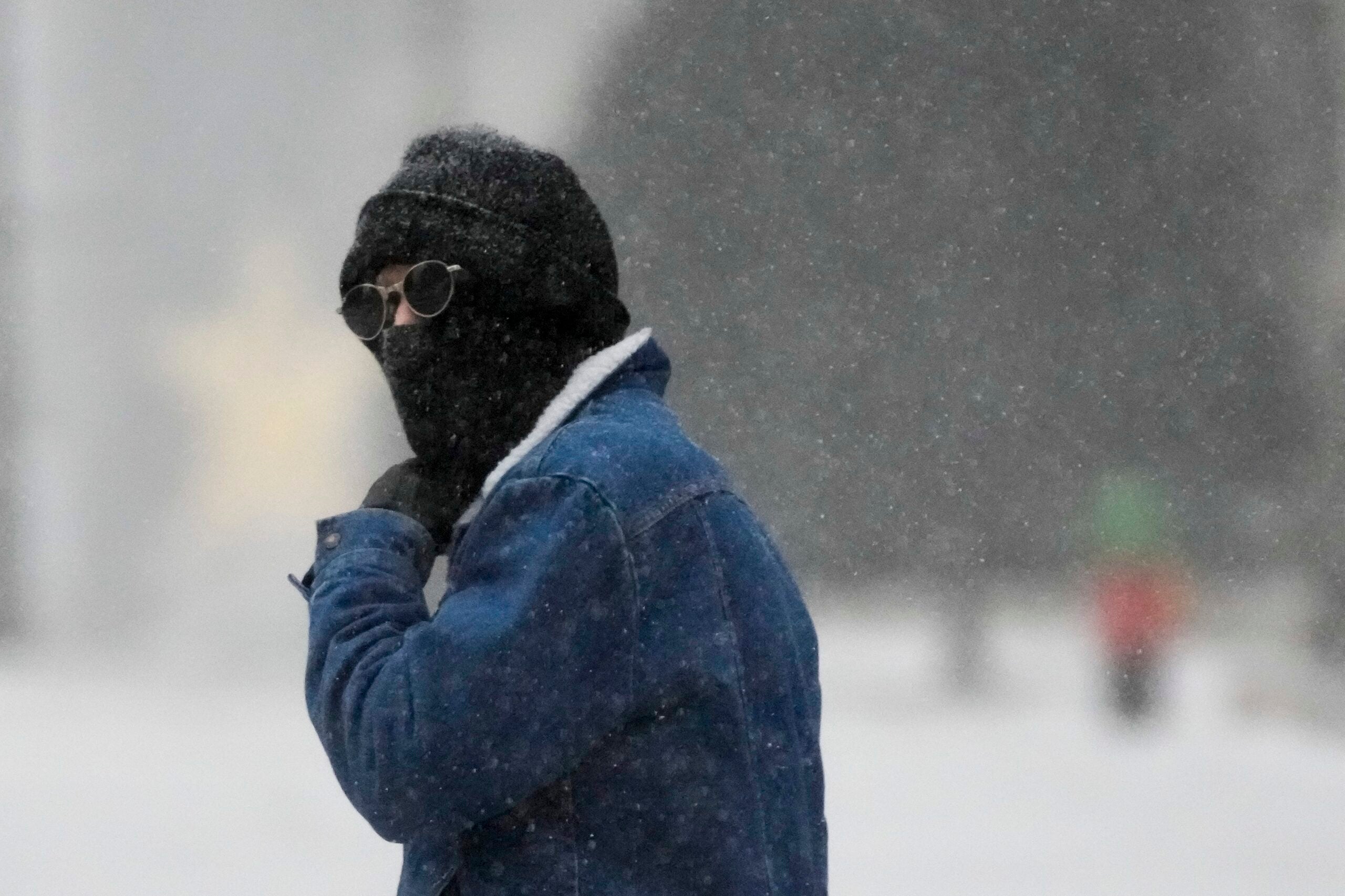
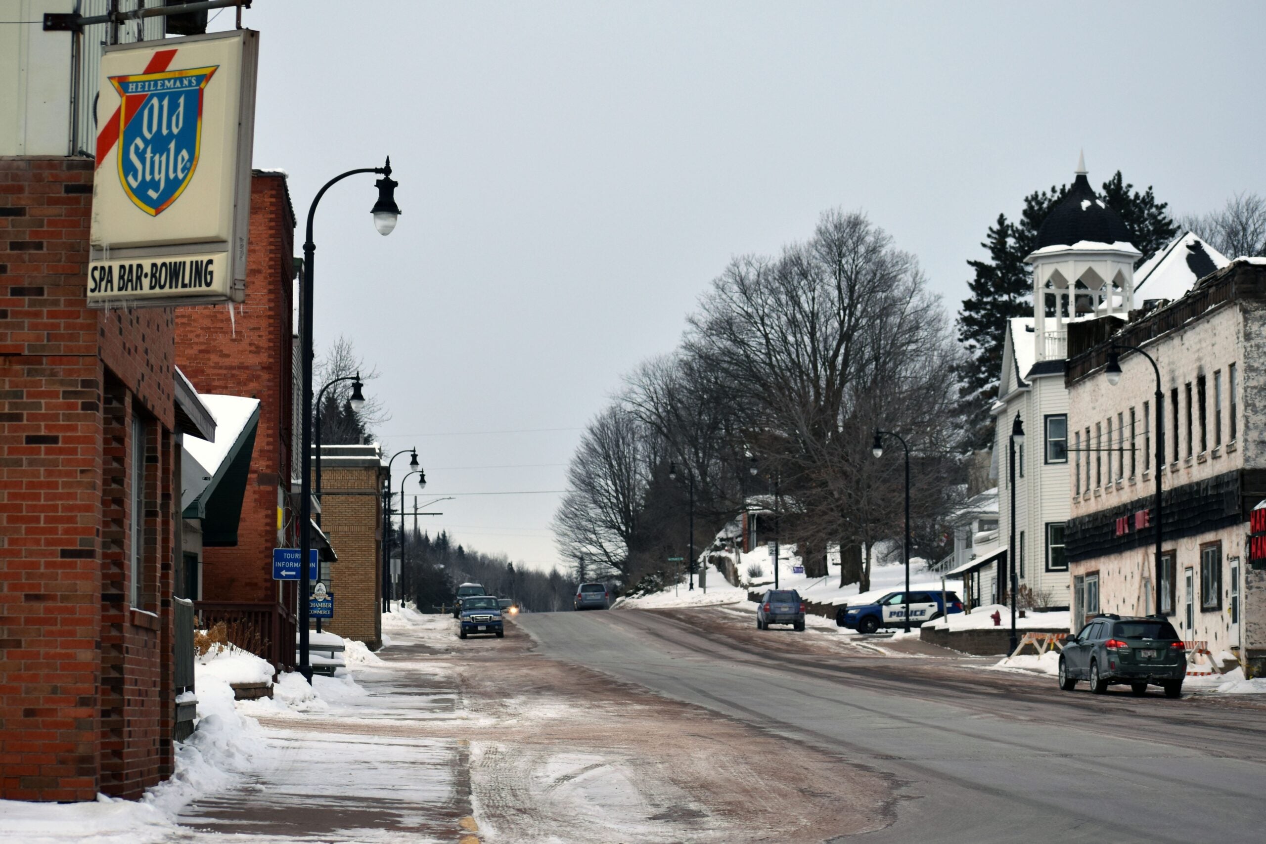
Colder temperatures have returned in Wisconsin after a near-record setting warm start to the year.
According to Alex Bukvich, director of operations at Innovative Weather at the University of Wisconsin-Milwaukee, January was on track to be the warmest on record in Milwaukee until temperatures dropped last week. Now, it’s likely to be the second warmest.
“We started out the new year with a couple of record highs on the 30th and 31st of December, and that set the tone,” he said.
Stay informed on the latest news
Sign up for WPR’s email newsletter.
The mild weather was caused by patterns in the jet stream, he said, which trapped cold air closer to the North Pole.
Despite much warmer than average temperatures, neither Madison nor Milwaukee actually hit a single record high temperature in the first part of January. But, the overnight lows did set records, Bukvich said. On Jan. 18, Milwaukee’s overnight low temperature was 40 degrees, about 10 degrees above the normal high temperature in the city this time of year.
The first 20 days of January have been the warmest on record for Milwaukee and 3rd warmest for Madison. Records date back to 1871 and 1869, respectively. A cold snap is expected at the end of the month. #swiwx #wiwx pic.twitter.com/FJpY1PK54H
— NWS Milwaukee (@NWSMilwaukee) January 22, 2023
Cloud cover also played a role, because it holds warmth near the surface. Milwaukee and Madison have had no totally clear days, and only four partly cloudy days in January, Bukvich said, with the rest being mostly cloudy.
Bukvich said it’s important to note that one unusual month of weather is not always a direct sign of a changing climate. But, he said it’s important to pay attention to the patterns.
“If we see this more regularly in coming years, then that’s definitely a sign of the growing changes in our environment,” he said. “However, currently, this is just a short term weather signal that we’re experiencing for the month of January.”
According to a 2021 report from the Wisconsin Initiative on Climate Change Impacts, winters in the state are warming.
“All seasons and regions of Wisconsin are getting warmer and wetter, but winters are warming more rapidly than summers and nighttime low temperatures are warming faster than daytime high temperatures,” the report read.
Despite warm temperatures and little snowfall, overall precipitation levels were close to average in January, said National Weather Service meteorologist Kevin Wagner. That’s somewhat of a “silver lining,” he said.
“It’s not going to put us into drought because we have seen rain,” he said. “We are still getting the water that we need to keep us out of the dry spells that we saw last year.”
Normal January temperatures have returned, said Wagner, with expected below-zero lows this week in Southern Wisconsin.
“Winter is still upon us,” Wagner said. “We still have plenty of time left for snow to occur in February and even heading into March and even April.”
Wisconsin Public Radio, © Copyright 2025, Board of Regents of the University of Wisconsin System and Wisconsin Educational Communications Board.
