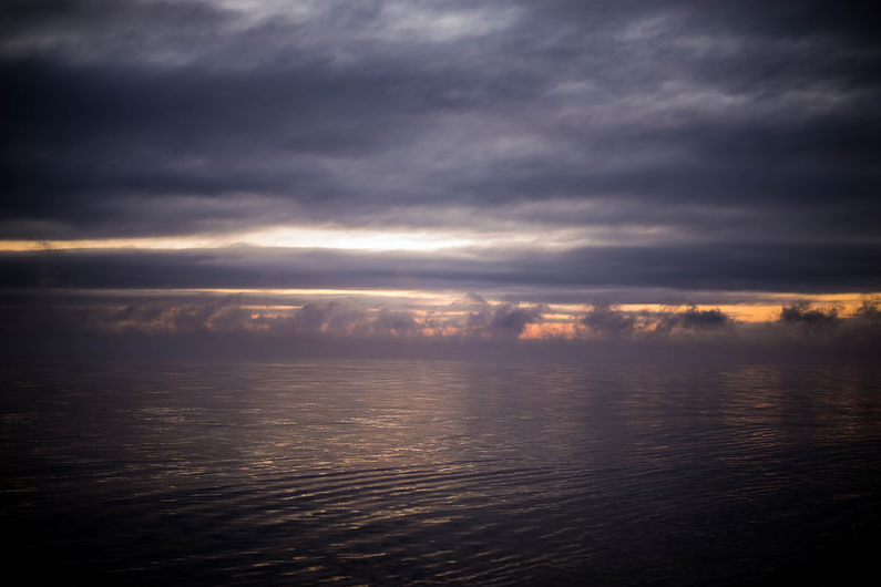
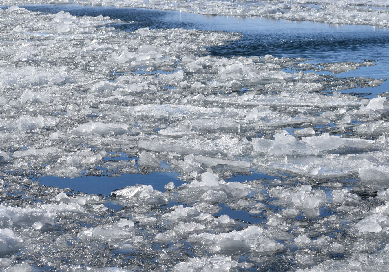
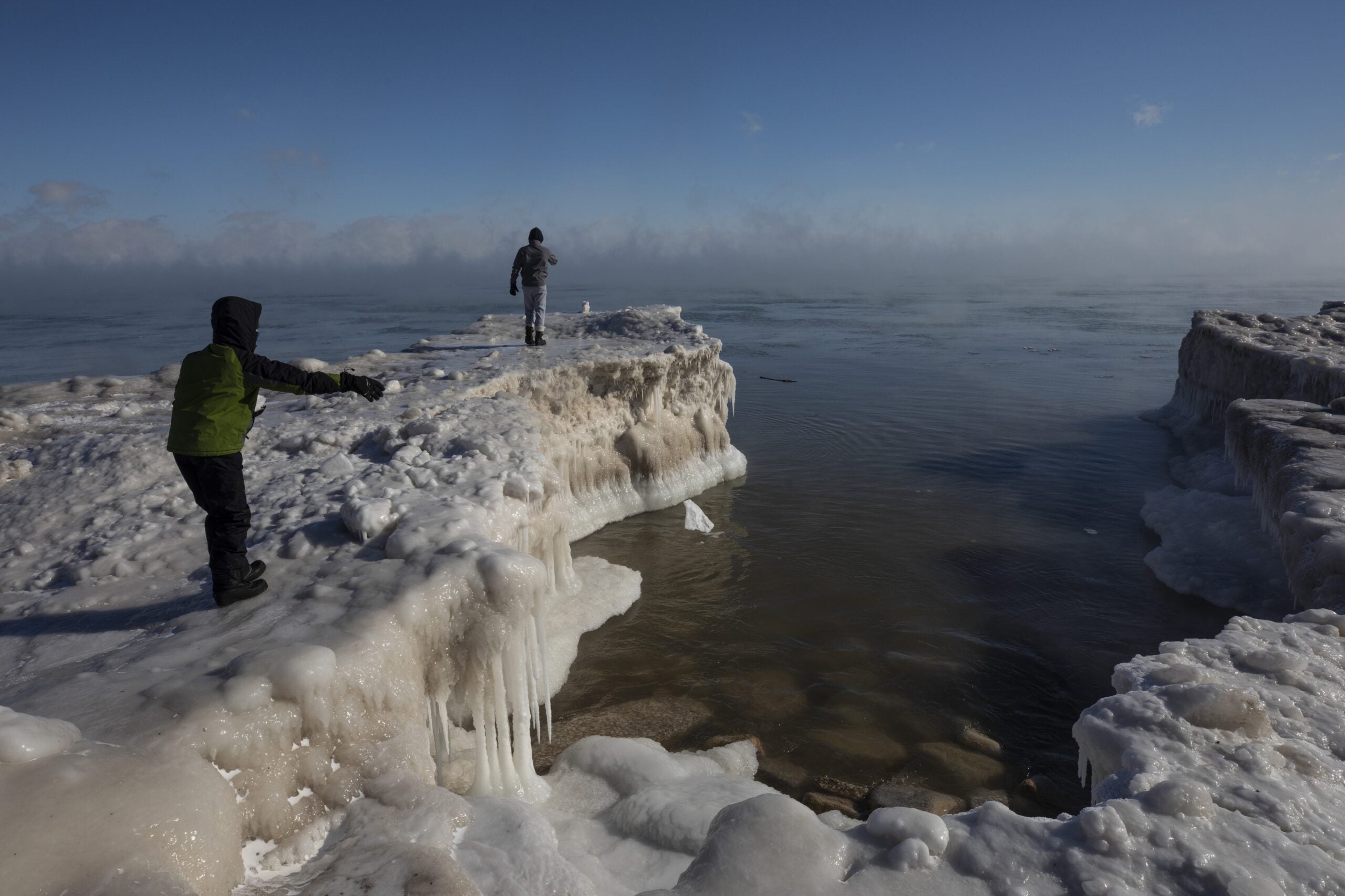
Outbursts of extremely cold air over Lake Superior often cause a phenomenon that’s commonly known as sea smoke.
Carol Christenson, warning coordination meteorologist with the National Weather Service Office in Duluth, Minnesota, said the surface temperature of Lake Superior is around 32 to 34 degrees Fahrenheit right now. But, she said the air temperature Thursday morning dipped to around 20 below zero.
Video by Levi Drevlow
Stay informed on the latest news
Sign up for WPR’s email newsletter.
“When that cold air hits the warmer water of Lake Superior, that layer of warm water cools rapidly and condenses and forms vapor,” she explained.
Jay Austin, a professor with the Large Lakes Observatory at the University of Minnesota-Duluth, said these cold air events can remove a lot of water from the lake.
“There’s this real misconception sometimes that evaporation goes on when you have hot air blowing over the water,” he said. “We think of evaporation as happening during the summertime, but in fact this right now is the season where we have the greatest rates of evaporation.”
Austin said lake levels may go down by a few millimeters over the course of one day under such conditions. He added it’s difficult to measure exactly how much water is evaporated.
“We can make estimates of how much evaporation is going on right now, but actual direct measurements of what’s going on right now are very, very rare,” he said.
Austin said researchers typically remove buoys fixed with instrumentation evaluating changes throughout the lake in order to prevent ice damage during the winter months. He noted the Great Lakes Evaporation Network directly measures evaporation from fixed points usually located on islands in the middle of the lake to collect such data.
The phenomenon of sea smoke and how likely it is to occur in the future is something that draws mixed predictions, Austin said.
“As we move into a warmer climate over the period of many, many decades, that ice is slowly going away, which means we’re going to have more open water,” he said. “And, we would expect there to be more evaporation.”
But, Austin noted winters are also becoming milder.
“If we have less of these cold air events, then we have less of these big evaporative events as well,” he said. “The reduction of ice points toward more evaporation and the fewer very cold events like this points toward less evaporation.”
For now, Christenson of the NWS said very low air temperatures will continue to flow over Lake Superior during the next few days.
“If we have cold air over the warmer Lake Superior, we can expect more sea smoke,” she said.
Wisconsin Public Radio, © Copyright 2025, Board of Regents of the University of Wisconsin System and Wisconsin Educational Communications Board.

