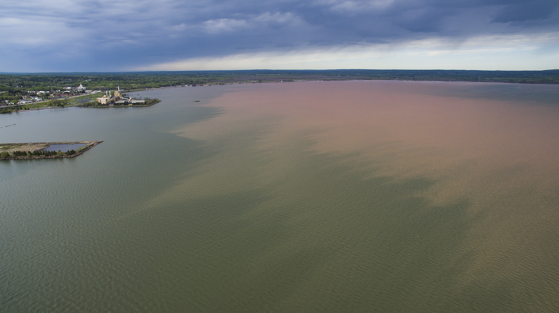
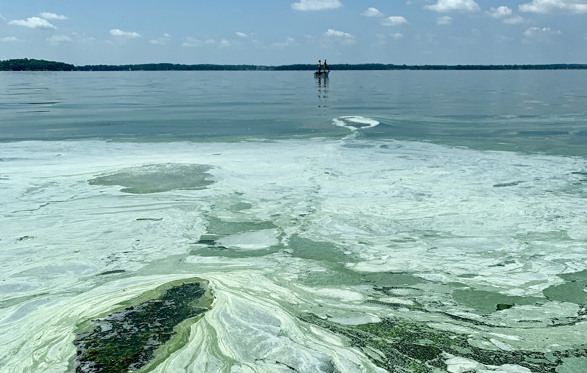
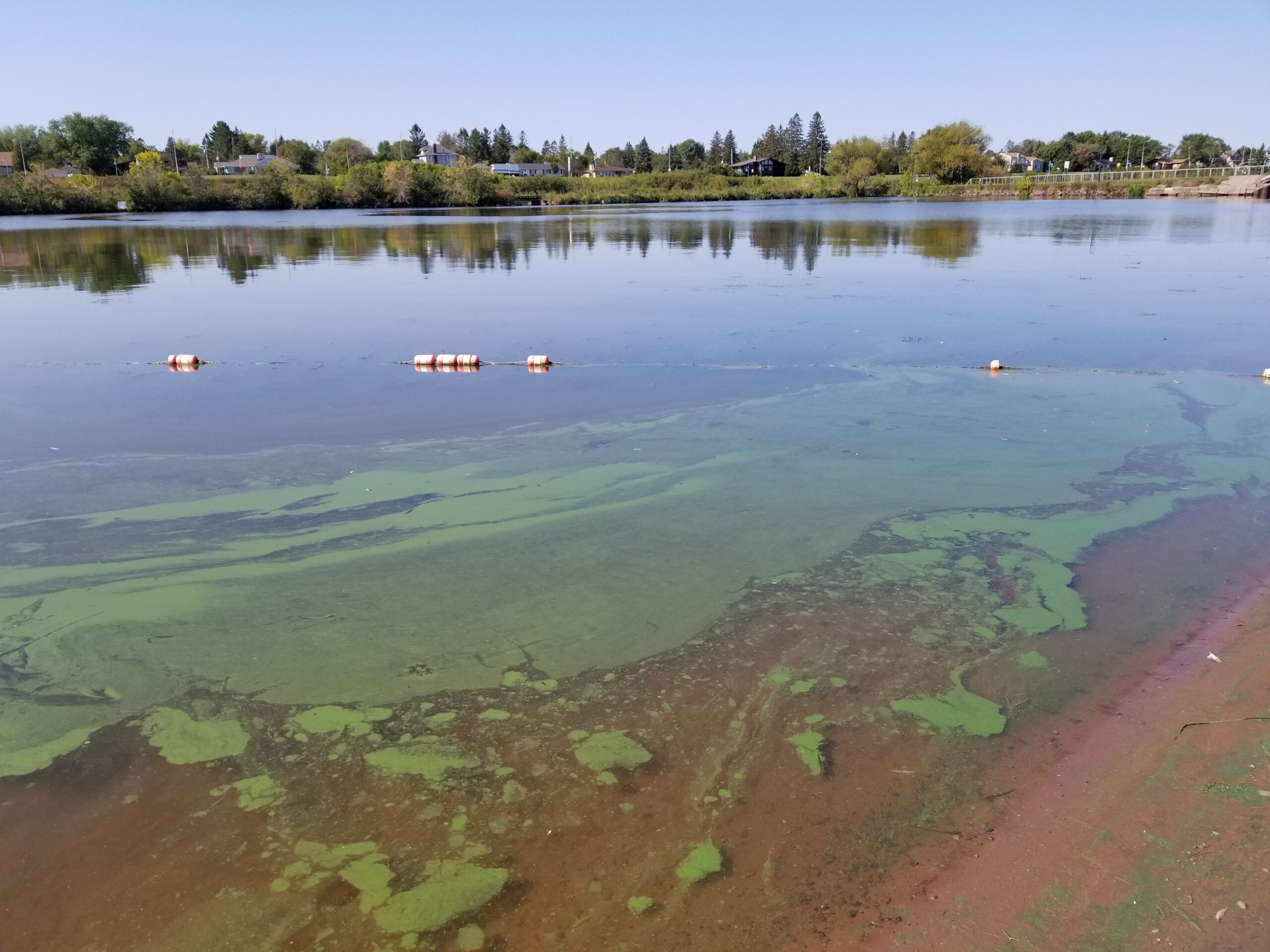
Intense storms and flooding have sent runoff surging into a shallow bay of Lake Superior in the last decade, and a new study finds runoff is the largest driver of phosphorus concentrations there that can lead to algae blooms.
But unlike other areas on the Great Lakes, the Chequamegon Bay near Ashland hasn’t faced any problems with blooms.
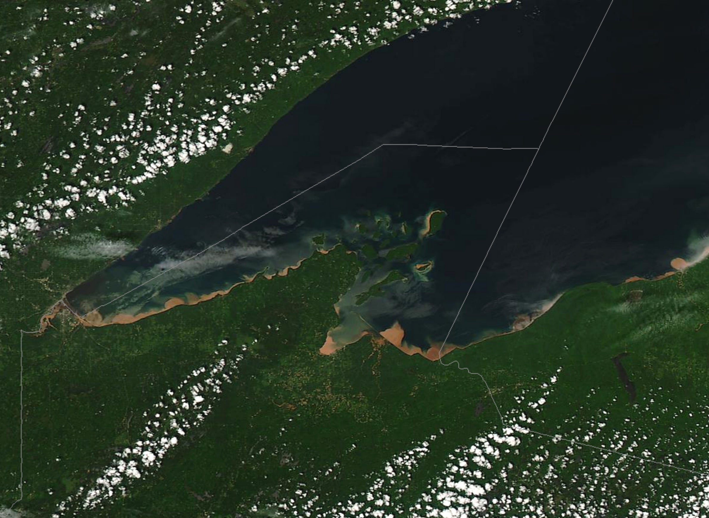
It’s a mystery that had left researchers at Northland College scratching their heads. In the last decade, blue-green algae has been spotted multiple times along the south shore of Lake Superior near the Apostle Islands National Lakeshore, but not in the warm, nutrient-laden waters of the bay.
Stay informed on the latest news
Sign up for WPR’s email newsletter.
Over the last nine years, researchers collected 862 phosphorus samples at a dozen sites within the bay that revealed concentrations just as high as nearshore areas of other Great Lakes that have struggled with blue-green algae blooms.
Even so, the study’s lead author Matt Hudson said the area doesn’t have the same kind of dissolved phosphorus that drains from areas with intense agricultural production around Green Bay or Western Lake Erie.
“We really don’t see that soluble form of phosphorus, the kind that really can lead to more algal growth here,” Hudson said. “That’s a reflection that we still do have primarily forested watersheds in this area. … Land cover really matters.”
Around two-thirds of the bay’s primary watershed area, including North and South Fish Creek, is forested with little development, according to the study recently published in the Journal of Great Lakes Research.
Hudson, an associate director with the college’s Mary Griggs Burke Center for Freshwater Innovation, noted the Chequamegon Bay watershed has about 10 times the concentration of agricultural land as the Lake Superior Basin as a whole. Even so, farm land makes up only 19 percent of the surrounding area, whereas 78 percent of land is used for agricultural production in the Western Lake Erie Basin.
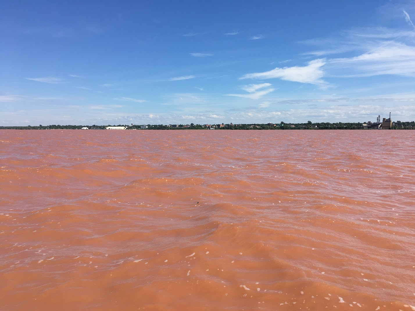
The south shore of Lake Superior contains red clay and sandy deposits that make it naturally susceptible to erosion. However, Hudson said the phosphorus that’s part of the sand and clay that washes into the bay is tightly bound to sediments, obscuring it from sunlight and making it less likely for algae to grow. He said researchers didn’t find that agricultural or urban areas are affecting water quality within the Chequamegon Bay.
“I think it demonstrates that areas where we have less development are in better shape or healthier,” Hudson said. “Even though we have a lot of phosphorus, it’s not leading to these water quality problems that we see in other areas.”
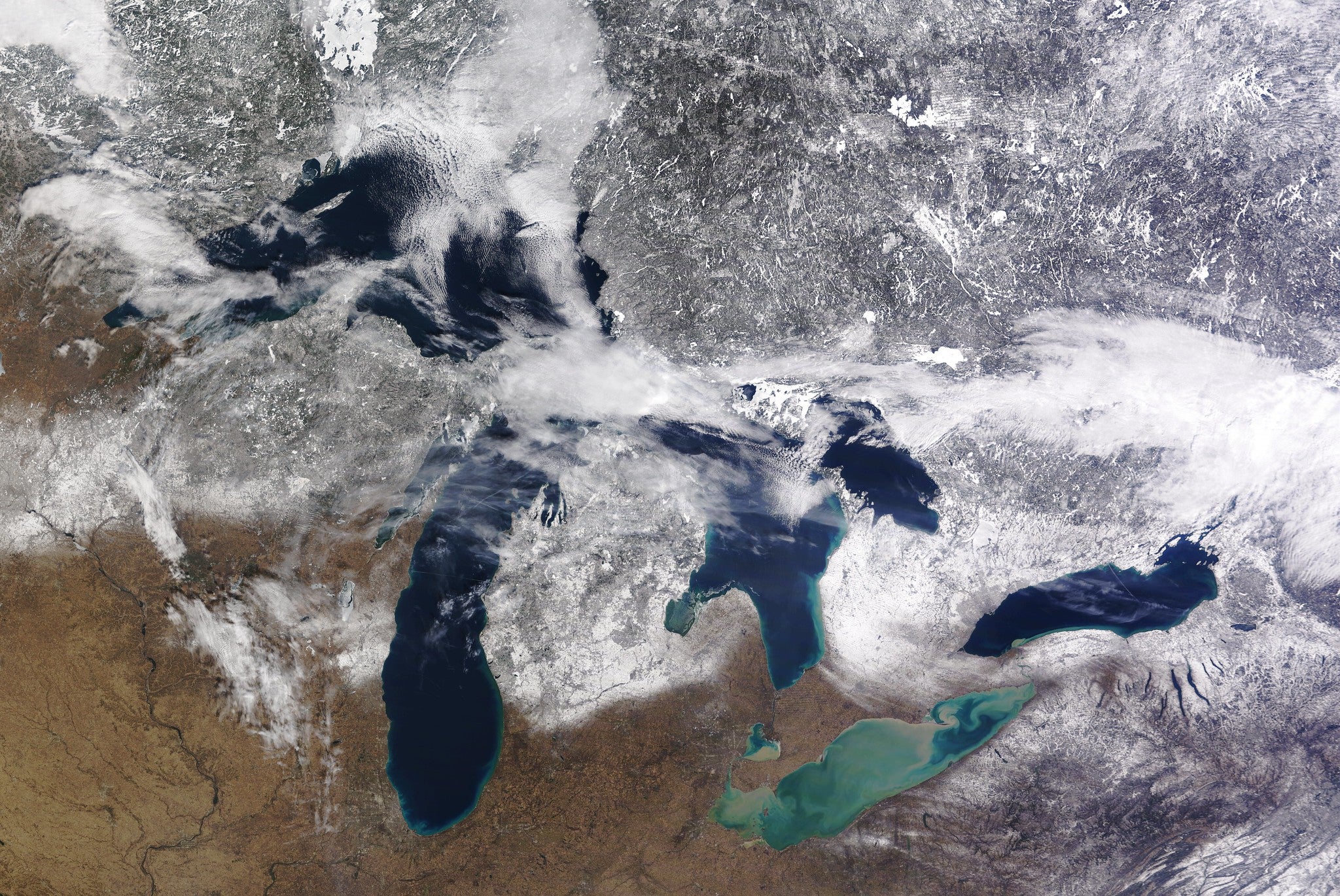
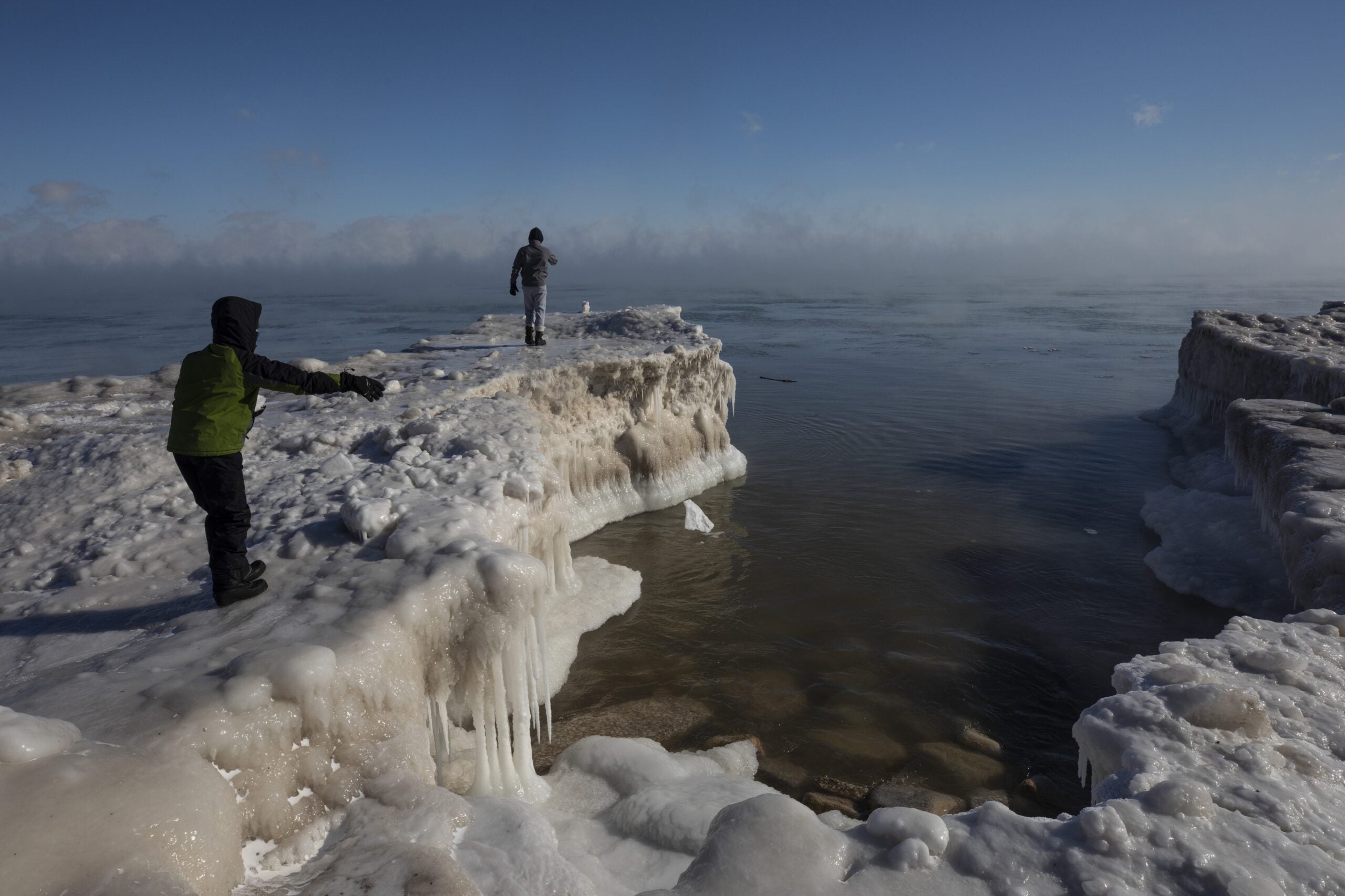
Despite that, researchers observed the most dramatic increases in phosphorus concentrations following extreme storms or flooding in 2016 and 2018. As climate change drives temperatures higher, that’s led to warmer waters, less ice cover and longer growing seasons in the Great Lakes region. While known for its icy waters, Lake Superior is one of the fastest warming lakes on the planet.
At the same time, the Great Lakes region is seeing more frequent, intense storms. Hudson said that’s raised concerns about how climate change may affect water quality within the bay.
“These extreme events that we sampled just really demonstrate the importance of and the influence of these big events on water quality in the bay, and just asking questions about what that means for the future,” Hudson said.
Hudson said researchers hope to continue monitoring within the bay as part of a long-term study to examine the influence of climate change on water quality.
Wisconsin Public Radio, © Copyright 2025, Board of Regents of the University of Wisconsin System and Wisconsin Educational Communications Board.
