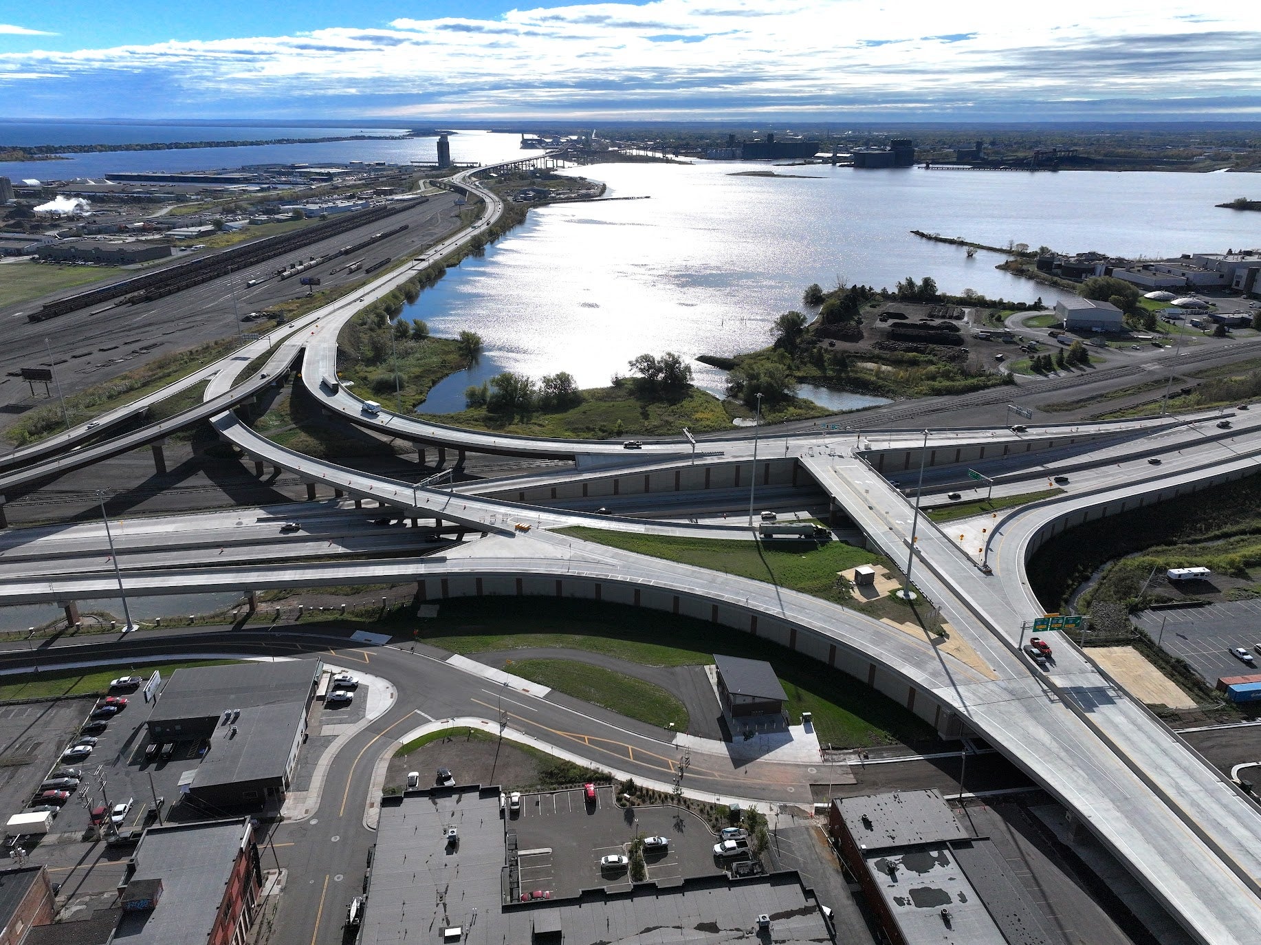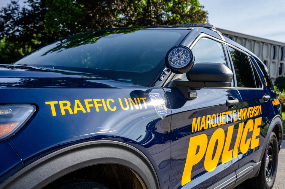
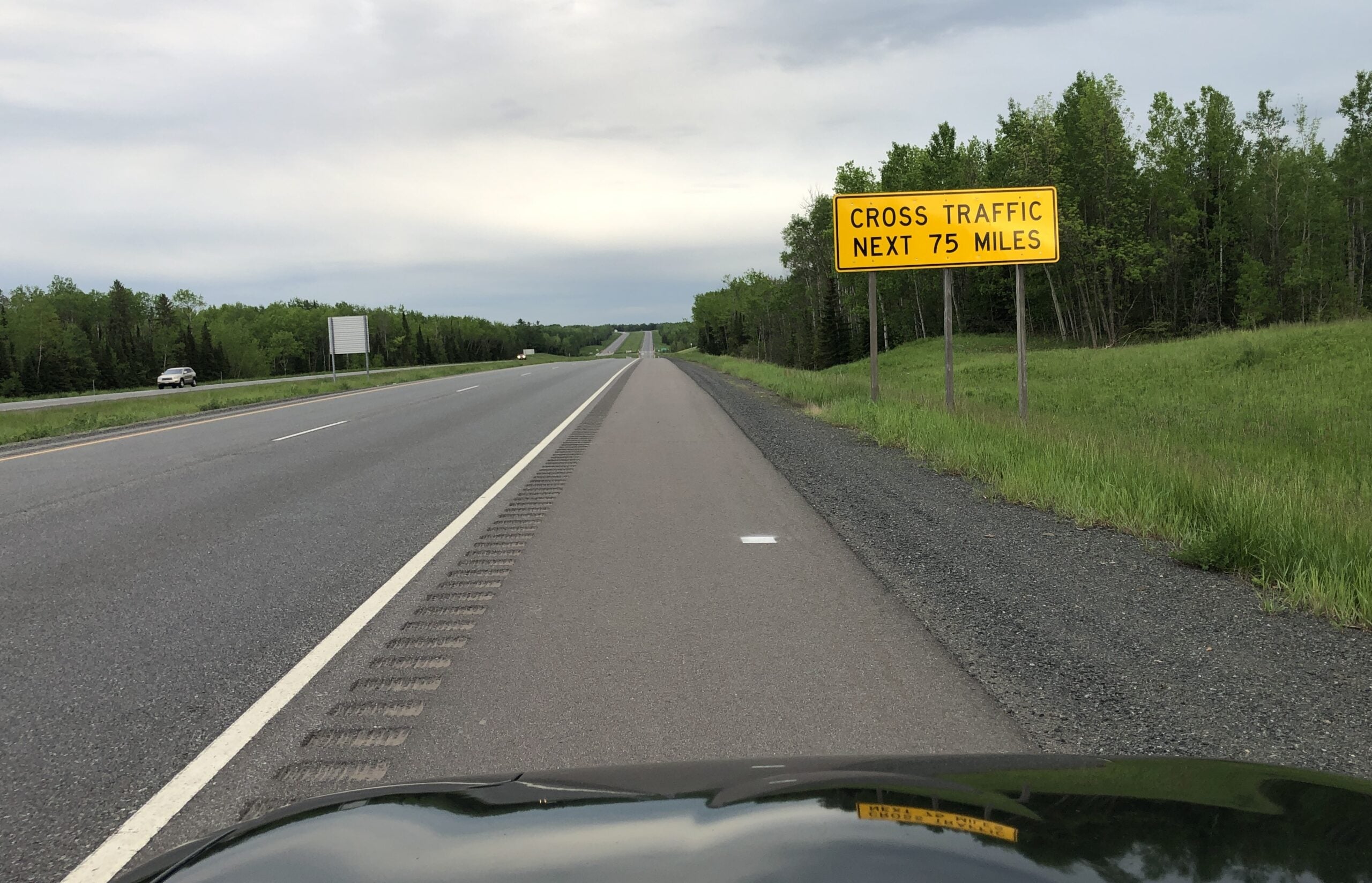
If you’re headed south out of Superior, chances are you’ll take U.S. Route 53. It’s a four-lane divided highway, but that doesn’t necessarily mean smooth sailing for much of its 150 miles to Eau Claire.
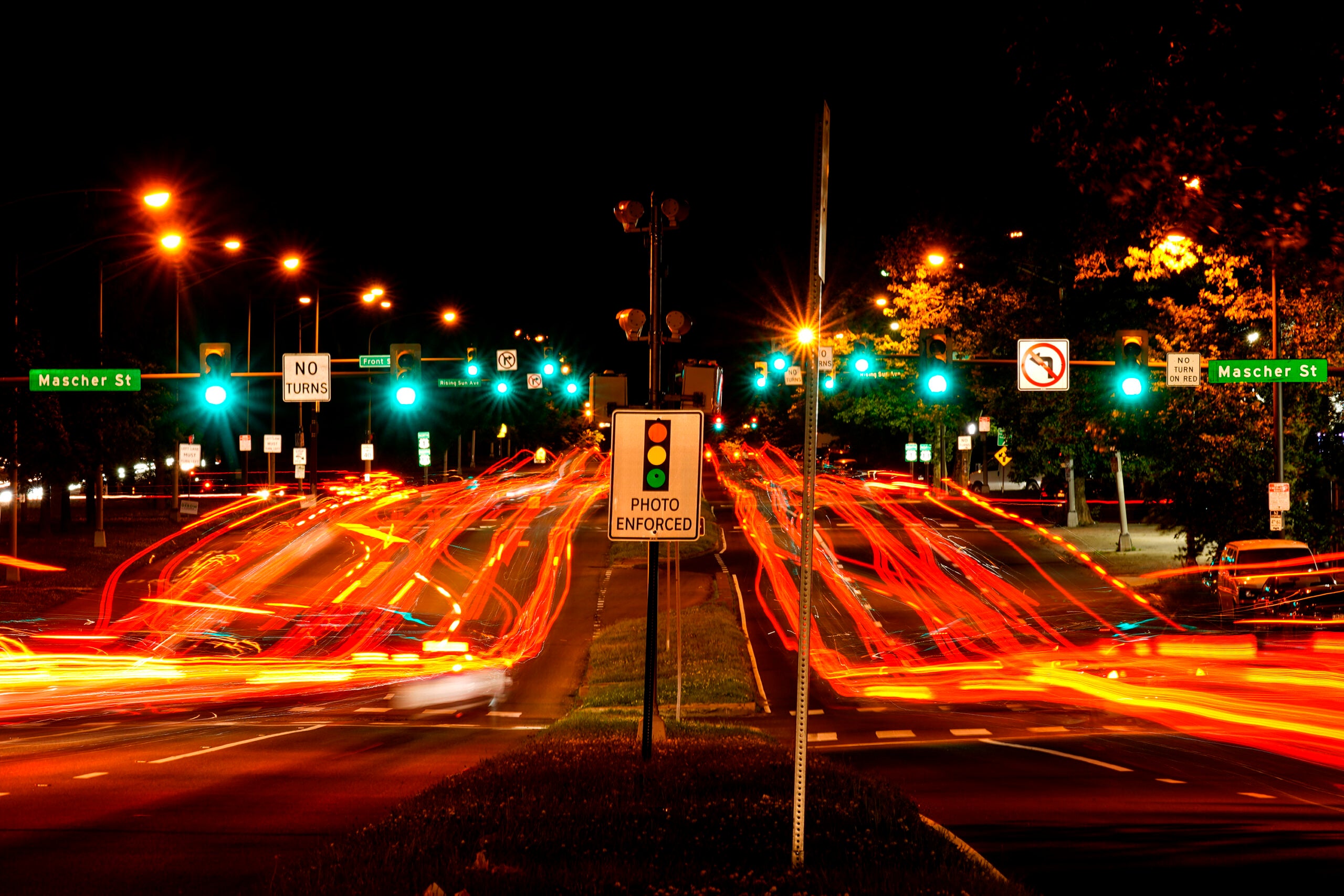
It intersects with small country roads where you might find anything from an ATV to a logging truck trying to cross in front of you without the benefit of a traffic signal. That’s led to a higher-than-normal accident rate, the Wisconsin Department of Transportation reports.
Regarding fatal accidents, a record seven deaths in 2005 was reduced to zero in 2017 but has climbed back up to six last year. The department has worked to reduce accidents over the last 20 years by rebuilding some intersections with designs that minimize traffic conflicts.
News with a little more humanity
WPR’s “Wisconsin Today” newsletter keeps you connected to the state you love without feeling overwhelmed. No paywall. No agenda. No corporate filter.
Unlike the stretch coming out of Superior, the portion of the road nearer Eau Claire has bridges and overpasses similar to an interstate. But there you’ll find major construction projects this summer, reducing it to two-lane travel for much of the route.
Marc Bowker is the Northwest region planning engineer for Wisconsin DOT. He spoke with WPR’s Robin Washington on “Morning Edition” about the challenges of the road.
The following interview has been edited for brevity and clarity.
Robin Washington: First let me ask about the construction — where exactly is it and when will it be finished?
Marc Bowker: There are actually three projects. A lot of it is pavement replacement where some of the old pavement is being removed and replaced. There is one project that is currently just north of Eau Claire, and we have a couple of projects that are up around the Spooner and Trego area. The intent is to have them both open for traffic this fall.
RW: So where is the road “limited access” and where does it have intersections?
MB: Highway 53 heading north from Eau Claire is declared as a freeway, which is a limited access type of roadway where the only way to access it is through an interchange.
Then just north of Rice Lake, between Rice Lake and Haugen, we change it from a freeway designation to an expressway designation. The difference is in an expressway, we still have the four-lane divided roadway, and it looks very similar when you’re driving along the road, but we do allow at-grade accesses. Those are those country roads that you mentioned that intersect the expressway. There are a few limited driveways along there. We try to limit them as much as we can, but it’s always more difficult to create everything as a full freeway.
RW: I do remember in the 1980s when it was a two-lane road. I left the area for a while and came back and was thrilled to find four lanes. But again, it’s a little unnerving when you see vehicles coming out at you. How does the accident rate compare to similar roads?
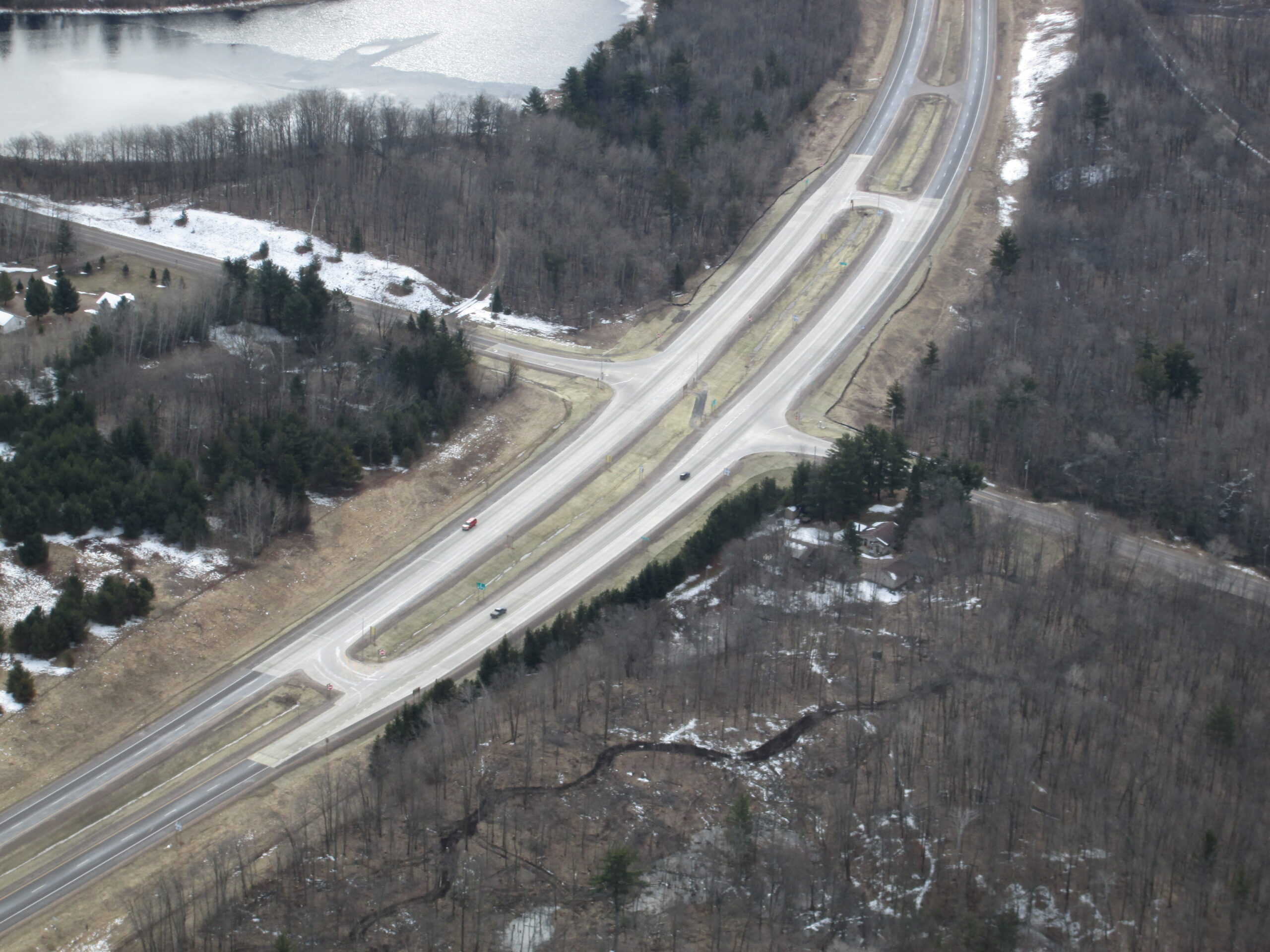
MB: When we built the expressway from Haugen to Superior, we were experiencing some higher-than-normal crash rates at some of these intersections, and we still do. So there have been some improvement projects over the last few years.
Some, like at Haugen, used to be an at-grade intersection where we have built an interchange. There are a couple of other things that you’ll see along that corridor, called a J-turn or an R-cut. Those are different types of intersections where we limit the movements that the traffic can do at each of those intersections.
One of the first ones we did was right near Superior, where we actually closed the median at that location and then we created a U-turn. So what it does is it prevents a car from trying to cross all four lanes, or crossing and making a left onto the roadway. There are a number of them along that corridor now and they significantly reduce the crashes at those intersections because we’re making them separate movements. And it seems to significantly improve safety.
Fatalities on U.S. Route 53, Amnicon Falls to Eau Claire, 2004-2024
| Year | Fatalities |
| 2003 | 3 |
| 2004 | 4 |
| 2005 | 7 |
| 2006 | 5 |
| 2007 | 1 |
| 2008 | 5 |
| 2009 | 2 |
| 2010 | 1 |
| 2011 | 5 |
| 2012 | 3 |
| 2013 | 4 |
| 2014 | 2 |
| 2015 | 3 |
| 2016 | 2 |
| 2017 | 0 |
| 2018 | 5 |
| 2019 | 2 |
| 2020 | 2 |
| 2021 | 5 |
| 2022 | 6 |
| 2023 | 3 |
Source: Wisconsin Department of Transportation interactive map, compiled by WPR.
RW: Are people who aren’t from the area surprised when they come from Eau Claire and it goes from freeway to expressway?
MB: Yes and no. I mean, when you’re driving it, you know you’re still on a four-lane roadway, so a lot of people are not necessarily paying close attention to the access on and off the highway. So it’s not like, “Hey, I’m traveling northbound. I’m on this freeway all of a sudden, there’s all this traffic crossing in front of me and creating crashes.”
And we don’t see a significant change in crash rates between the areas. Of course, no matter what type of roadway, we always want motorists to make sure they’re paying attention and reading the signs. There are warning signs that this change is coming as you’re driving north along that corridor.
RW: Why isn’t it an interstate? Was it intended to be when it was broadened to four lanes? On the freeway coming out of Eau Claire, it looks like an interstate in everything but name.
MB: I don’t believe that it was ever intended to be a total interstate. The difference between the two is more of a designation and funding, but from an operational perspective, they operate exactly the same. The original intent was to look at how do we make it as much of a freeway as possible. But as you get farther and farther north it becomes more and more rural out there, and there’s lots of these dead-end town roads that access off of the highway.
If you’re making that a full freeway, what you’d have to do is try to close all of those intersections and route that traffic to an interchange. We would like a minimum spacing of at least seven miles between interchanges because if you get them closer, you tend to have more crashes. The farther apart you make them, the better. The expense of closing all of these town roads or having to build an interchange at each one didn’t become a viable alternative.
If you have an idea about something in northern Wisconsin you think we should talk about on Morning Edition, send it to us at northern@wpr.org.