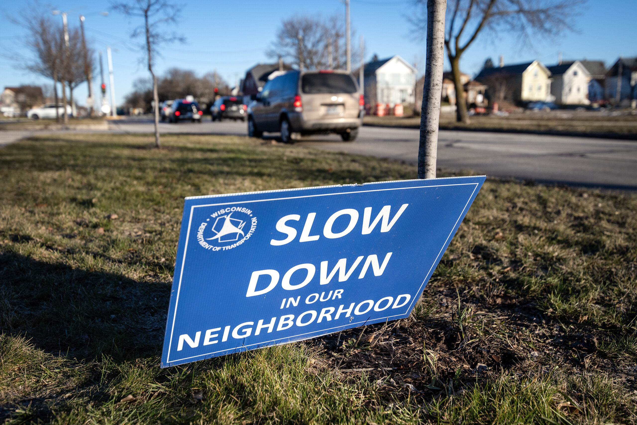
Milwaukee County leaders are using a dashboard that shows where dangerous crashes are occurring in the county to attempt to prevent further deaths in those areas.
Dr. Ben Weston, the chief health policy advisor for Milwaukee County, said the public dashboard shows that even though crashes are down 14 percent in the county since 2019, fatal crashes have increased by 34 percent in that time.
“So, this means that crashes that do occur are more severe, more deadly and more devastating to families and communities,” Weston said during a Tuesday press conference. “Behind every statistic is a person, a mother, a child, a friend whose life was forever changed by a preventable crash.”
Stay informed on the latest news
Sign up for WPR’s email newsletter.
The dashboard was unveiled last year. County leaders on Tuesday discussed specific findings from the data, including crash “hotspots.”
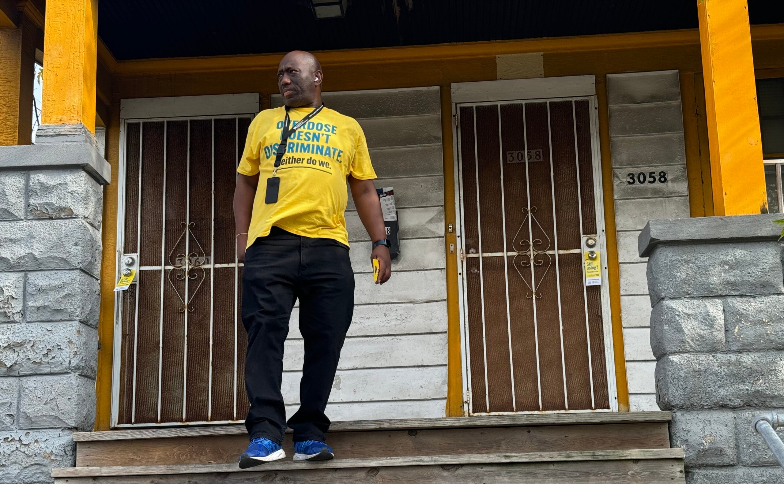
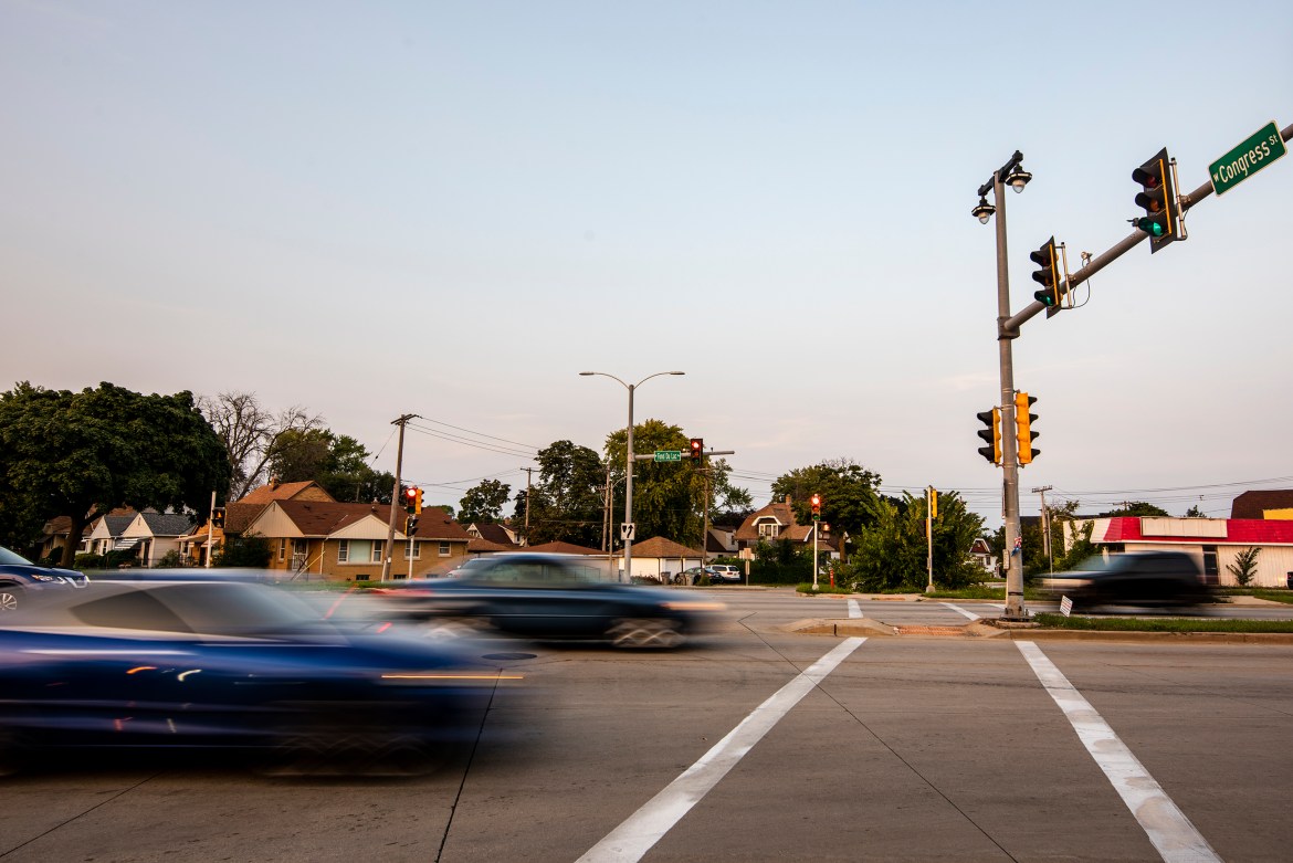
The data found that more fatal crashes are taking place on Milwaukee’s north side, which is predominately Black. The data shows that of 82 traffic deaths in Milwaukee County last year, 63 were in the city of Milwaukee.
“Low-income neighborhoods and communities of color experience disproportionately higher rates of serious crashes,” Weston said. “Motor vehicle crashes are not just a safety issue, either, they’re a public health issue, and tackling it requires a comprehensive, data-driven approach that prioritizes equity in solutions.”
County leaders are looking to use the data to identify targets for street redesign and engineering projects, often known as “traffic calming” projects.
Milwaukee County Executive David Crowley signed the county’s sprawling Comprehensive Safety Action Plan in late February. The plan, which opens up federal funding opportunities, includes over 500 possible traffic safety projects.
Reckless driving has plagued residents of Milwaukee for years. A 2024 Wisconsin Policy Forum report found traffic fatalities increased by 113.5 percent from 2002 to 2022 in Milwaukee County, while they dropped across the state during the same time period.
“While some communities bear a larger burden, the fact of the matter is that this [reckless driving] is a public safety issue that affects all of us in Milwaukee across every municipality, across every single neighborhood,” Crowley said.
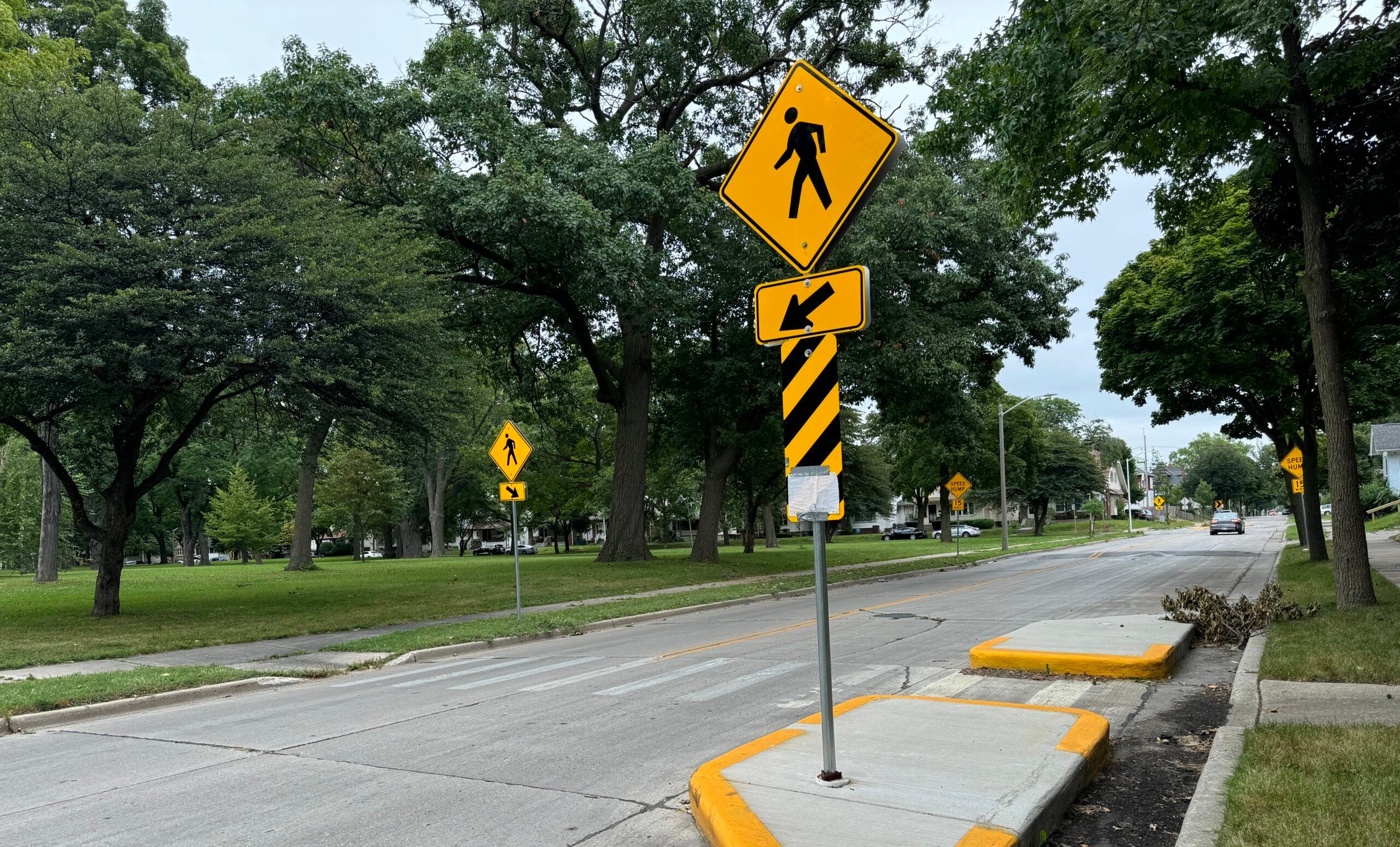
The Comprehensive Safety Action Plan calls for traffic safety initiatives like high visibility crosswalks, speed humps, protected bike lanes, roundabouts and better street lighting.
Jeff Sponcia, the transportation program planning manager for the Milwaukee County Department of Transportation, said the plan enables the county to apply for federal grants through the U.S. Department of Transportation’s Safe Streets and Roads for All grant program.
“It’s a huge pot, but it’s very competitive,” Sponcia said about the grant program.
However, federal funding for some grant programs could be in jeopardy under President Donald Trump’s administration that froze federal grant payments. Meanwhile, U.S. Transportation Secretary Sean Duffy signed an order in January, “ensuring that all USDOT policies, grants, loans, and actions are based on sound economic principles, positive cost-benefit analyses, and pro-economic growth priorities.”
Sponcia said the county plans to apply for the grants in the spring but it is unclear whether federal funding will be available.
“Obviously, you know, with all the uncertainty, we’ll have to wait and see,” Sponcia said.
Crowley also said he’s “concerned” about future federal funding for the street projects.
“But right now, we’re still going to continue to move forward with our plan when it comes down to having safer streets,” Crowley said.
‘More than just numbers’
The Milwaukee Area Safe Streets Taskforce is now reviewing the data from the dashboard, according to Crowley. That taskforce includes a, “broad, community-engaged collaborative group with members from academia, fire and EMS [emergency medical services], law enforcement, local, regional, and state government, and community organizations,” according to a statement from a county spokesperson.
Weston said members of the taskforce will use the data in deciding policy recommendations for the county.
“This information is more than just numbers,” Weston said. “It’s a roadmap for action.”
“These patterns help determine interventions, whether that’s roadway design improvements, targeted traffic enforcement or increased public awareness,” he added.
Data from the dashboard found:
- The highest concentration of fatal and serious traffic crashes occur along West Fond Du Lac Avenue in Milwaukee and also at the corner of 27th Street and Center Street in the city.
- Water Street in Milwaukee is the most dangerous street for bicyclists.
- The intersection of South 16th Street and West Forest Home Avenue in Milwaukee is the most dangerous intersection for motorcyclists.
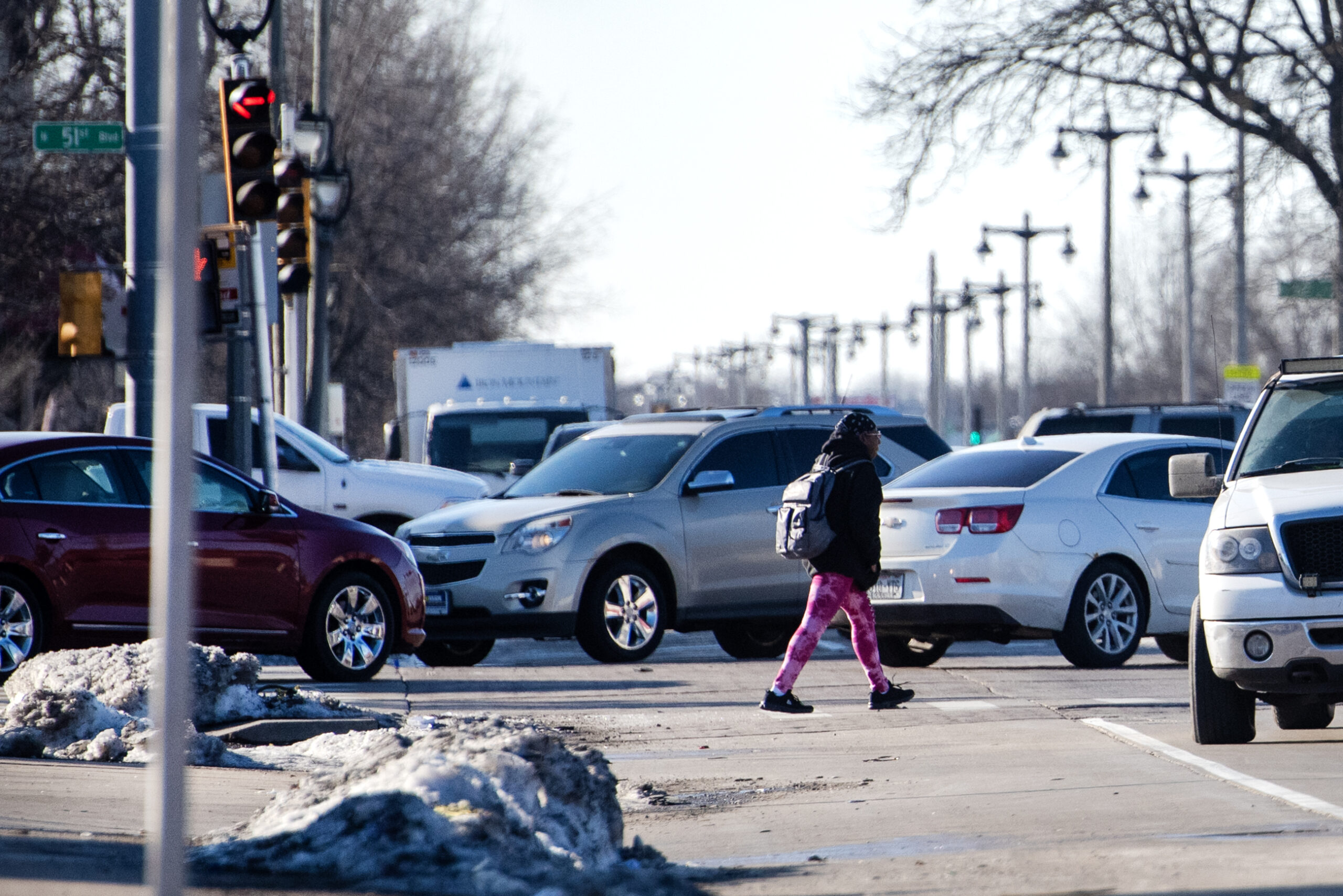
- A segment of North 35th Street in Milwaukee is the most dangerous street for pedestrians.
“I know that I live, quite frankly, within a half mile or a mile within many of these hot spots,” Crowley said.
Crowley said the county will use the EVE model, or “evaluating vulnerability and equity,” when deciding what safety projects to prioritize.
“This will help us to identify which communities are being disproportionately affected so we can allocate our resources appropriately,” Crowley said.
The city of Milwaukee has also spent millions of dollars, including $86 million last year, on street redesign projects. A spokesperson for the Milwaukee Department of Public Works said the department will announce specific street redesign projects for 2025 later this week.
Wisconsin Public Radio, © Copyright 2025, Board of Regents of the University of Wisconsin System and Wisconsin Educational Communications Board.