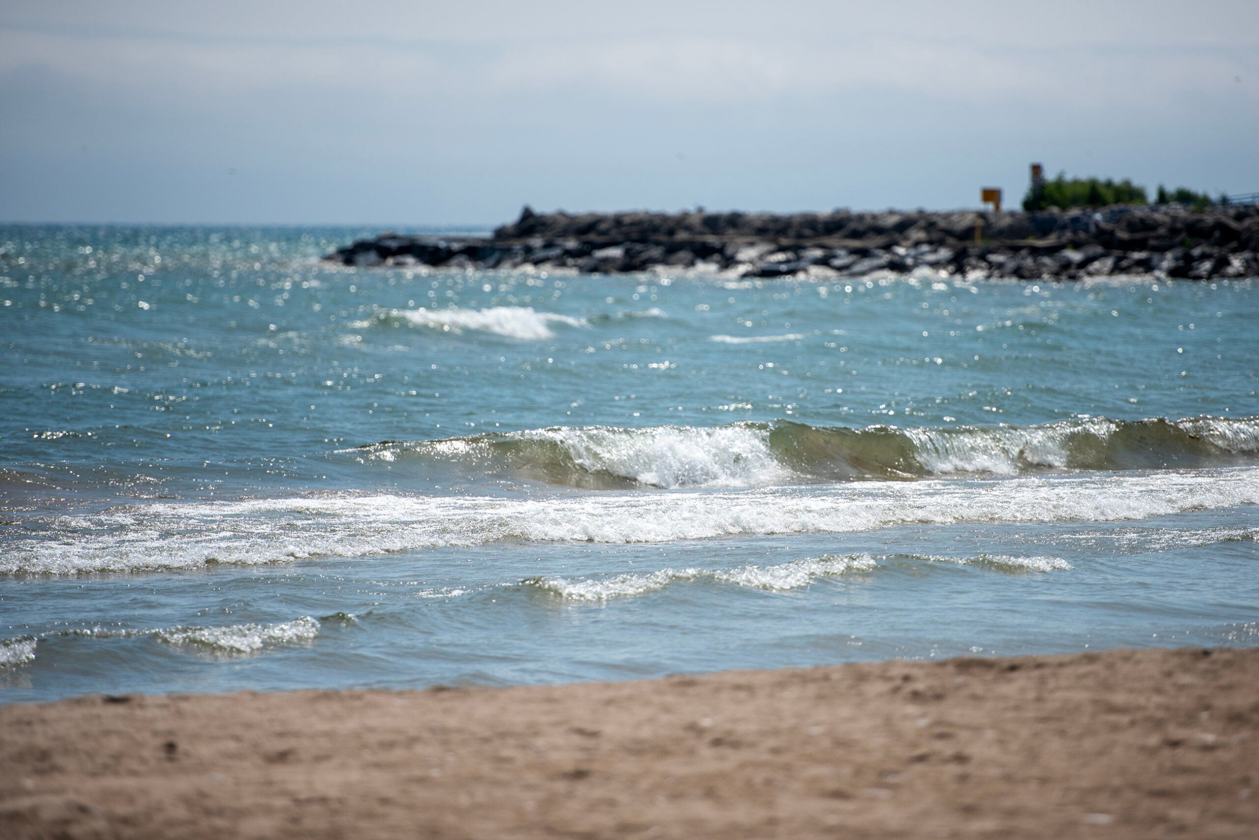
A small earthquake was recorded under Lake Michigan on Friday morning east of Sturgeon Bay.
The U.S. Geological Survey recorded the 2.9 magnitude earthquake around 9:18 a.m. As of noon Friday, 25 people contacted the agency reporting they had felt the earthquake.
Earthquakes ranging in magnitude from 2.5 to 5.4 typically cause minor damage, although they are strong enough for people to feel, according to Michigan Technological University. An estimated 500,000 quakes in that range are registered worldwide each year.
News with a little more humanity
WPR’s “Wisconsin Today” newsletter keeps you connected to the state you love without feeling overwhelmed. No paywall. No agenda. No corporate filter.

Thomas Pratt, a research geophysicist for the U.S. Geological Survey, said via email the scale of Friday’s earth quake is very unlikely to cause much if any damage, describing it as the sort of damage that may cause a vase to fall off a bookshelf.
“These sorts of small earthquakes occur routinely in the central and eastern U.S., so it is not a surprise to see one,” he said. “This one happens to be under Lake Michigan, but they occur throughout the central and eastern U.S.”
Earlier this year, geologists recorded a 2.5 magnitude earthquake near Crandon. It was the first earthquake in Wisconsin in more than a decade.
Earthquakes in Wisconsin are rare. The most recent before this year was in 2012 when the Geological Survey recorded minor shaking when a 1.2 magnitude earthquake occurred near Clintonville, according to CNN.
The largest earthquake recorded in Wisconsin reverberated across a 3,000-square-mile area of southeastern Wisconsin in 1947, according to USGS.

Wisconsin Public Radio, © Copyright 2025, Board of Regents of the University of Wisconsin System and Wisconsin Educational Communications Board.