When I was a kid, I decorated my room with maps. Not band posters, not movie posters. Nothing fancy. My grandparents had a National Geographic subscription, so I had a steady supply. World maps, maps of continents, one map of the ocean floor and another of the moon.
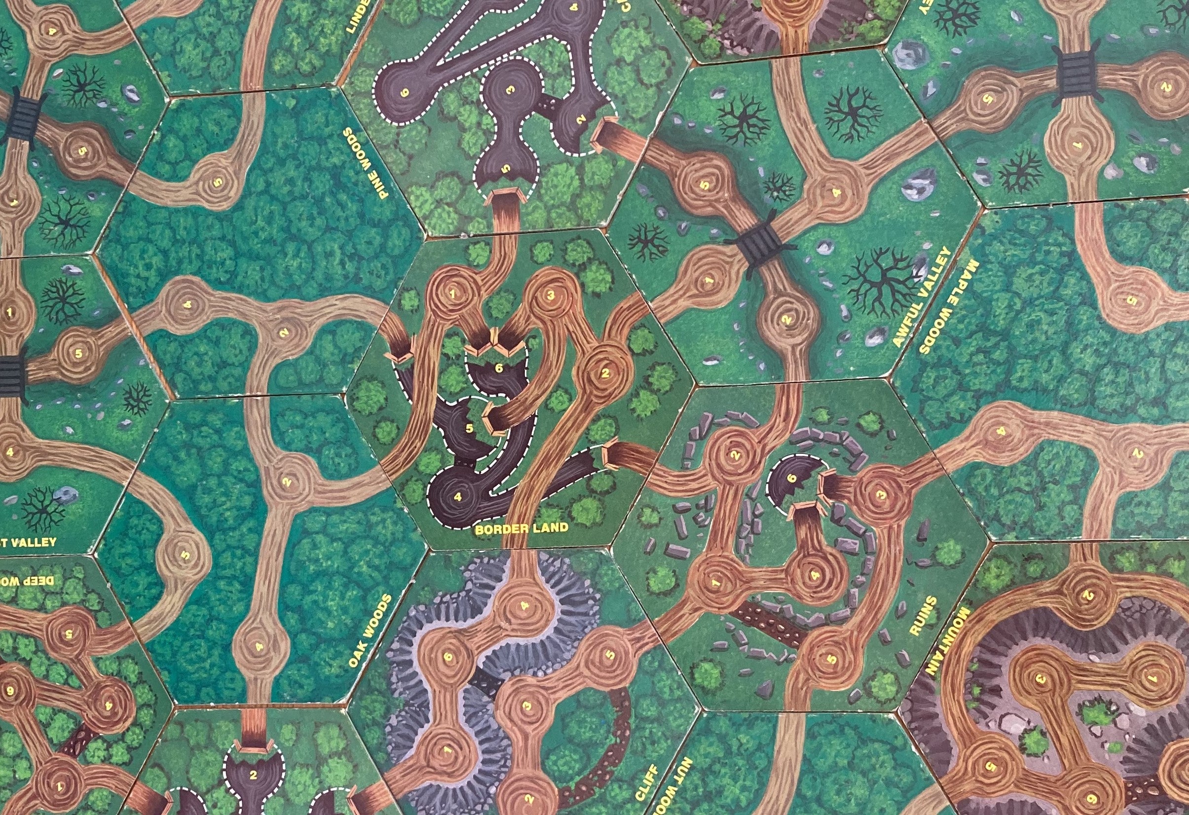
And I was always a sucker for fantasy and science fiction books that opened up with a cool map of fantastic locations.
Did I say “was”? OK, yeah, you can still lure me into a book with a good map. And games, too. I love a game with a good map.
News with a little more humanity
WPR’s “Wisconsin Today” newsletter keeps you connected to the state you love without feeling overwhelmed. No paywall. No agenda. No corporate filter.
Let’s get back to the real maps. The other day, I got to talk with Howard Veregin in a recent conversation on “Wisconsin Today.” Like me, he grew up loving maps. Unlike me, he made a career out of it. Now he’s Wisconsin’s state cartographer, based at the University of Wisconsin-Madison, and he’s mapping Wisconsin, real and imaginary.
Veregin got an early start with maps, on the road with his family.
“We did road trips pretty much every summer. I’m one of those strange people who actually took geography courses all through high school, and it was one of the majors I wanted to choose when I went into college, and that’s, in fact, what I ended up doing.”
What does a state cartographer do, anyway?
Part of me pictures a state cartographer hand-drawing maps of Wisconsin, one line at a time. That’s not really the job, though. It tends to be way more high-tech.
“We like to help people in the state achieve their cartography and GIS dreams,” Veregin said.
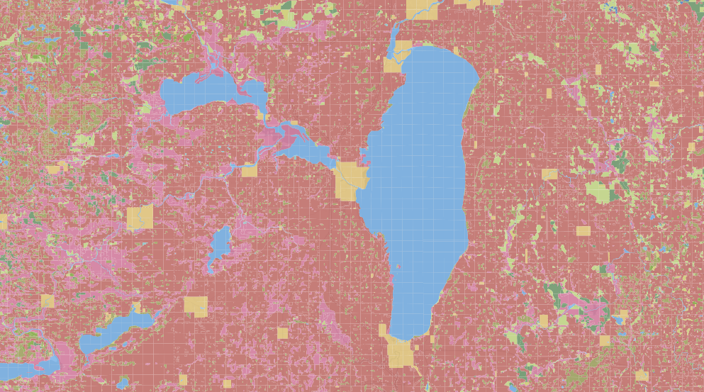
GIS means geographic information systems. It includes the creation of maps for visual representations of, well, just about anything. Cow density by county, visual databases, public health statistics, land and soil maps, representations of environmental science, sociology and history.
But there’s still a place for old-fashioned maps. The office also helps people find historical maps, old aerial photographs and other cartographic treasures.
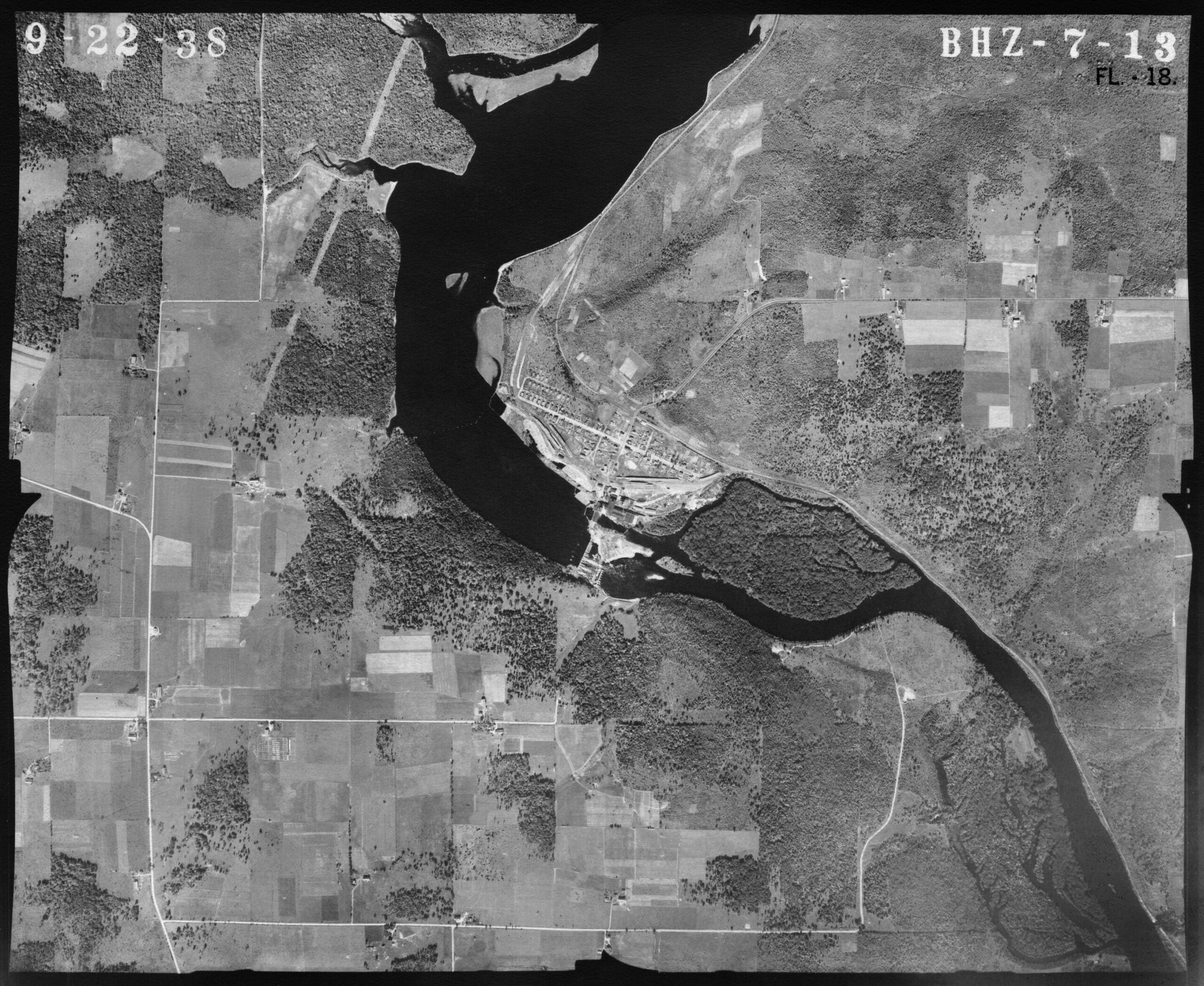
You can play with the aerial maps at home, too!
Real phantoms of Wisconsin
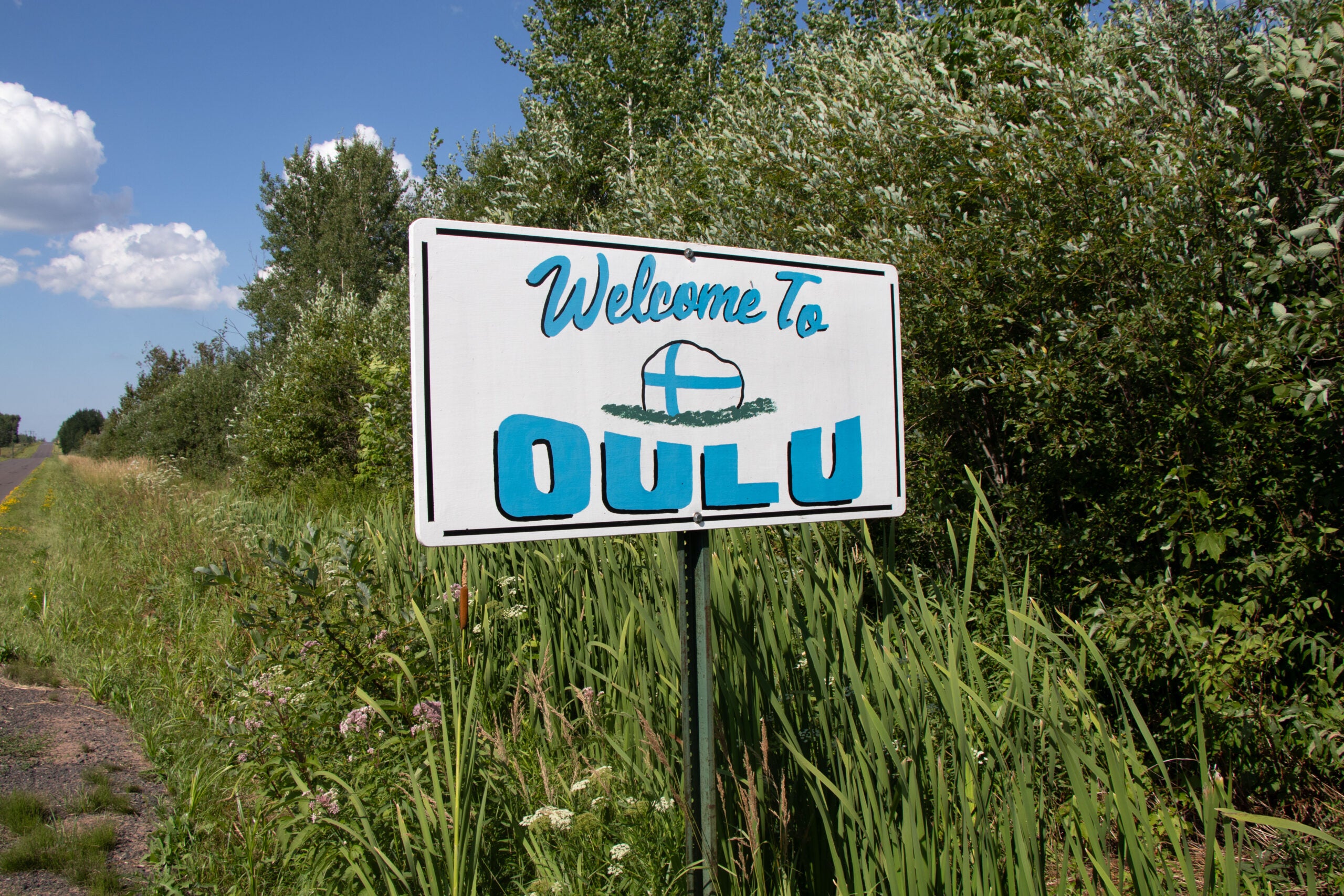
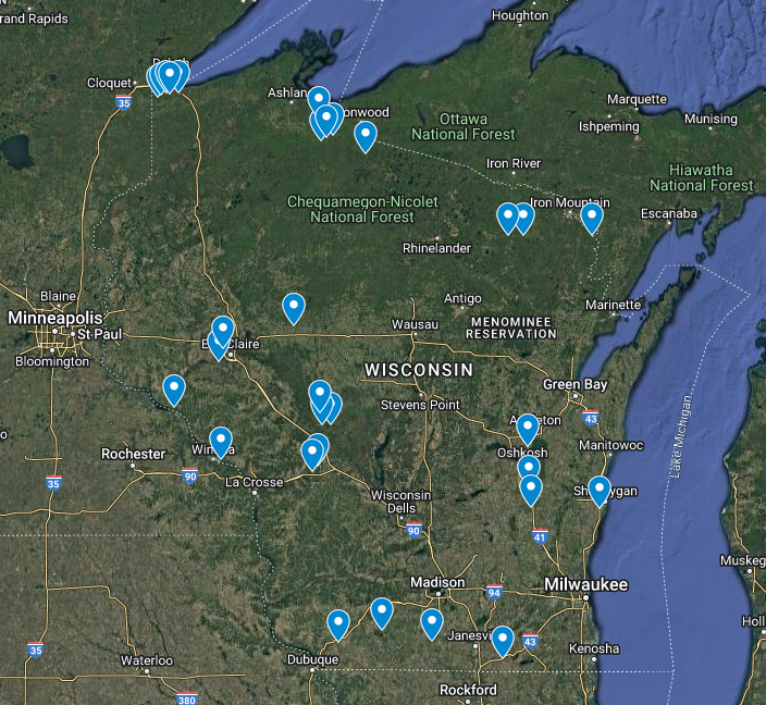
As state cartographer, Veregin is interested in Wisconsin’s “cartographic phantoms” — places that appear on maps but don’t exist in the real world. At least, they don’t exist anymore. And part of the mission is to sort out those phantoms from unincorporated communities that actually do exist.
“Personally, I’ve visited probably over a thousand of these,” Veregin said, “either unincorporated places which do exist or cartographic phantoms which don’t.”
And they’re all over the place, in almost every county of the state.
“So our goal is to simply go to these places and take a geo-tagged photograph like on an iPhone, because that gives us the latitude and longitude, and it gives us the documentation of, yes, there’s a place here, or here’s the sign on the road that says it’s Rob’s Corners,” he said.
Are there maps of Wisconsin’s phantom communities? Oh yes, there are.
Pros and cons of going digital
Like a lot of people, I use digital maps to find my way from point A to point B. But I think back to the old days of navigating with maps and written directions and wonder if I’ve lost something.
Veregin sees pros and cons for the move from print to digital maps.
“I do believe that people have probably lost some of the abilities that we used to have for really deeply understanding how maps work,” he said, “and reading maps and so on.”
“On the other hand, everybody’s got a map in their pocket now,” Veregin said. “And as somebody who loves maps, I have to say, well, that’s a good thing, because people are interacting with maps on a day to day basis, which is something that they didn’t necessarily do 15 or 20 years ago.”
What’s in the works?
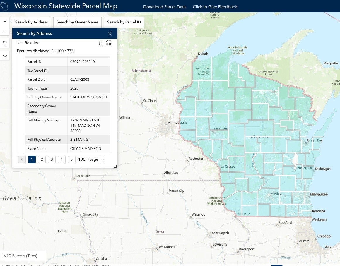
The state cartographers’ office has a bunch of projects in the works, including the ongoing statewide parcel project.
“This is an effort to take all 72 counties, tax parcel databases, GIS databases, and roll them together into a single integrated layer for the entire state,” Veregin said.
It’s a big deal, bringing together information on about 3.5 million parcels with a project entering its 11th year.
“We are one of the few states that has done this, thanks to the foresight of people in state government who made this project happen,” he said.
Check out the parcel map. If you need even more maps, the cartographer’s office has links to their own maps as well as offerings from other state agencies.