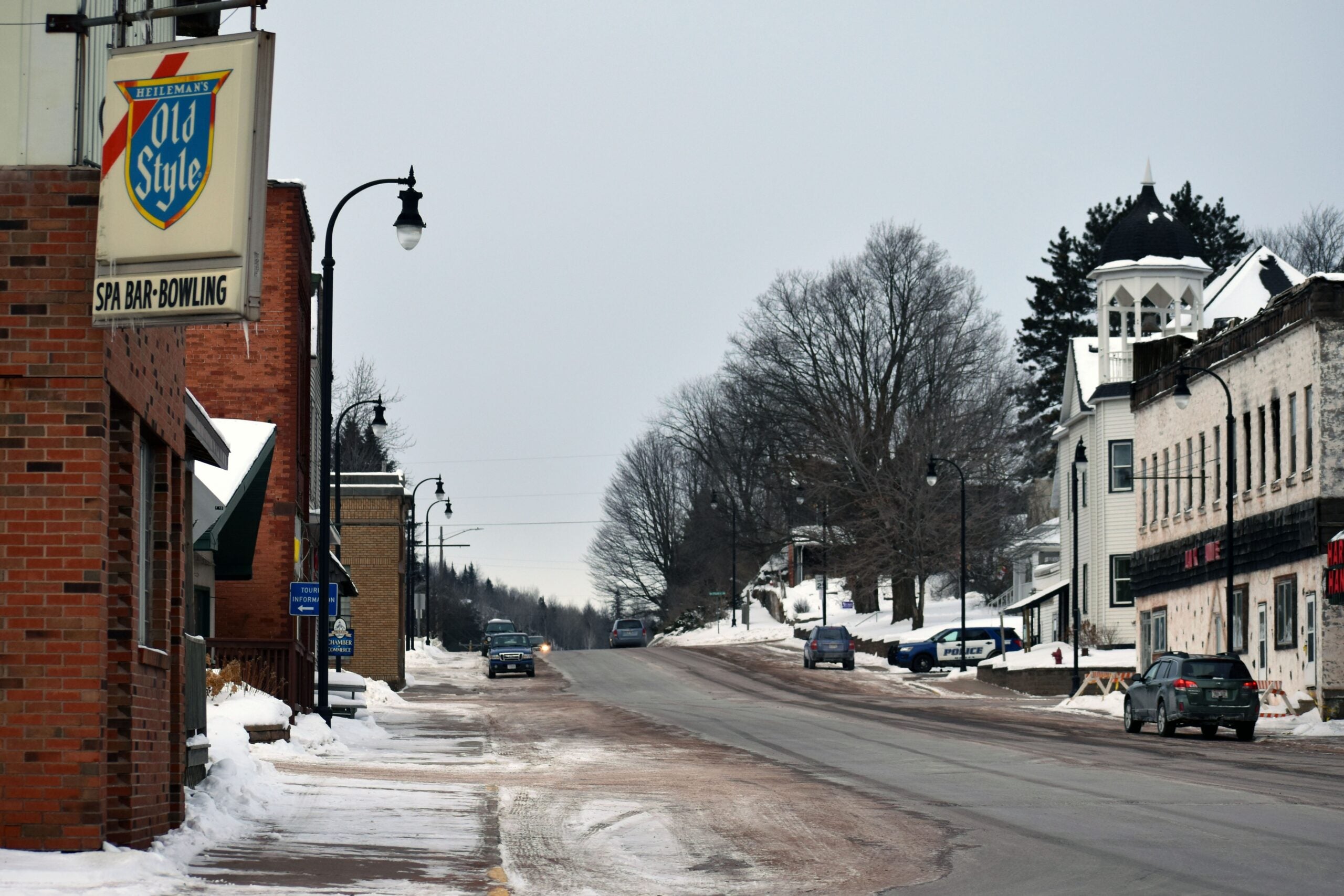
Much of central and northern Wisconsin, from La Crosse through Stevens Point and up to Superior, is under a winter storm warning through Wednesday evening.
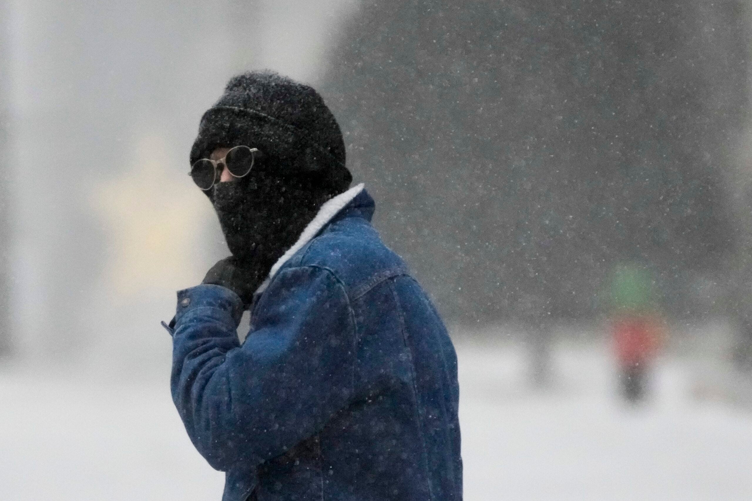
Heavy snow is falling throughout the north.
“Amounts in those areas so far today, midday Wednesday, have been anywhere from 4 to about 8 inches,” said Todd Shea, lead meteorologist with the National Weather Service in La Crosse.
Stay informed on the latest news
Sign up for WPR’s email newsletter.
The weather system will continue to bring snow, rain and wind into Wednesday evening.
“A combination of late winter and early spring hazards,” Shea said. “Be very careful of your travel today, and expect some slowdowns on the evening commute.”
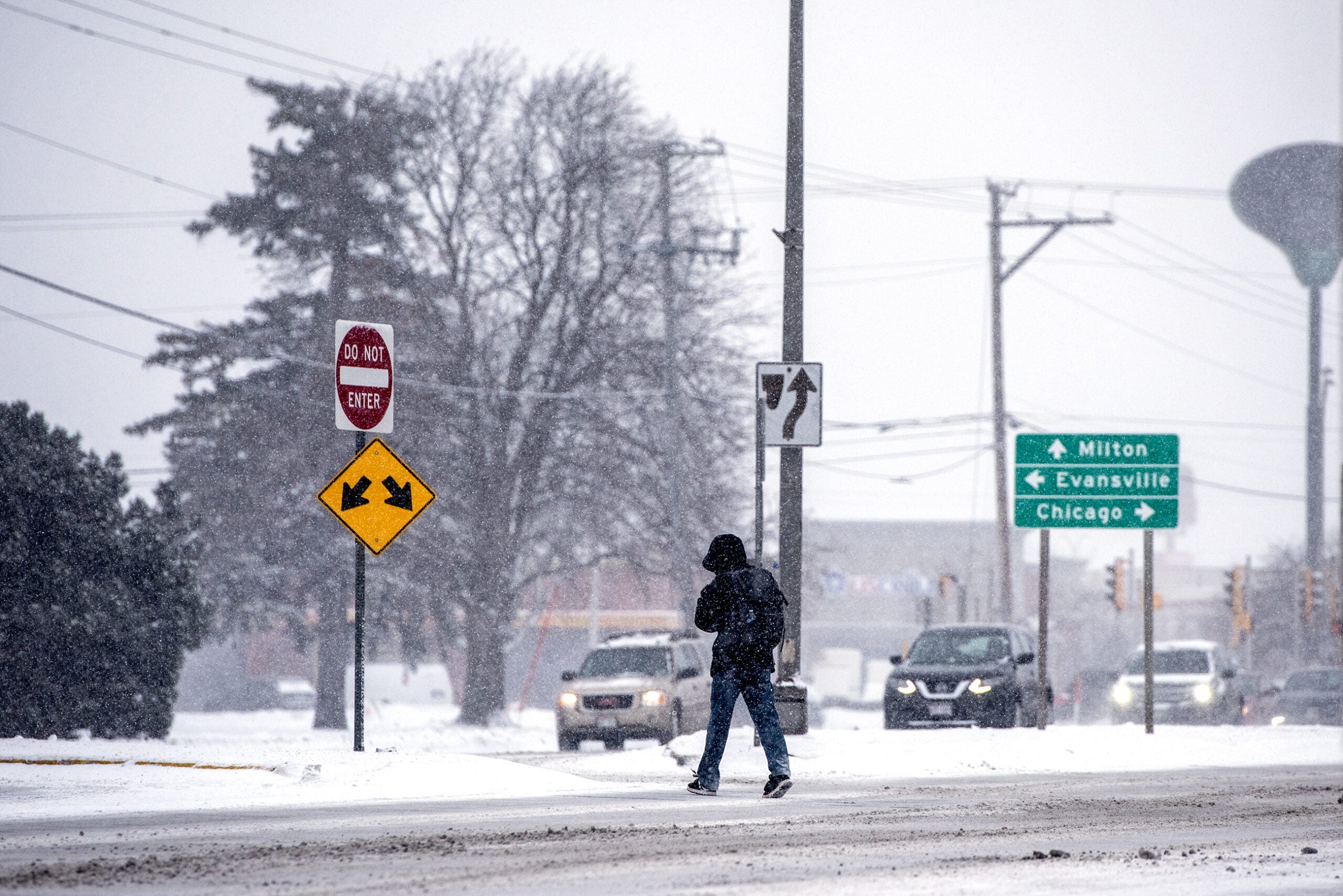
Rain and snow could also cause road hazards in the west and east, near Eau Claire and in the Fox Valley.
“This is a very dynamic weather system,” said Kurt Kotenberg, a lead meteorologist at the weather service in Green Bay. “By 3, 4, 5 o’clock this afternoon, wind speed should solidly be gusting around 40 to 45 mph.”
He cautioned people in the Fox Valley driving this evening, saying the winds could blow snow into the roads and reduce visibility.
“We could see visibility reductions across much of east central Wisconsin, down to around half a mile or so for the evening commute,” Kotenberg said.
As temperatures drop later in the evening, un-treated roads could also become slippery, he added.
The southern part of the state will see less precipitation but similarly high winds.
The snow and rain will let up later tonight, and conditions are expected to clear by midnight, Kotenberg said.
“Then by early next week, high temperatures should be in the middle-50s across the state,” he said.
For up-to-date road conditions, drivers can check 511 WI, Kotenberg added.

Wisconsin Public Radio, © Copyright 2025, Board of Regents of the University of Wisconsin System and Wisconsin Educational Communications Board.