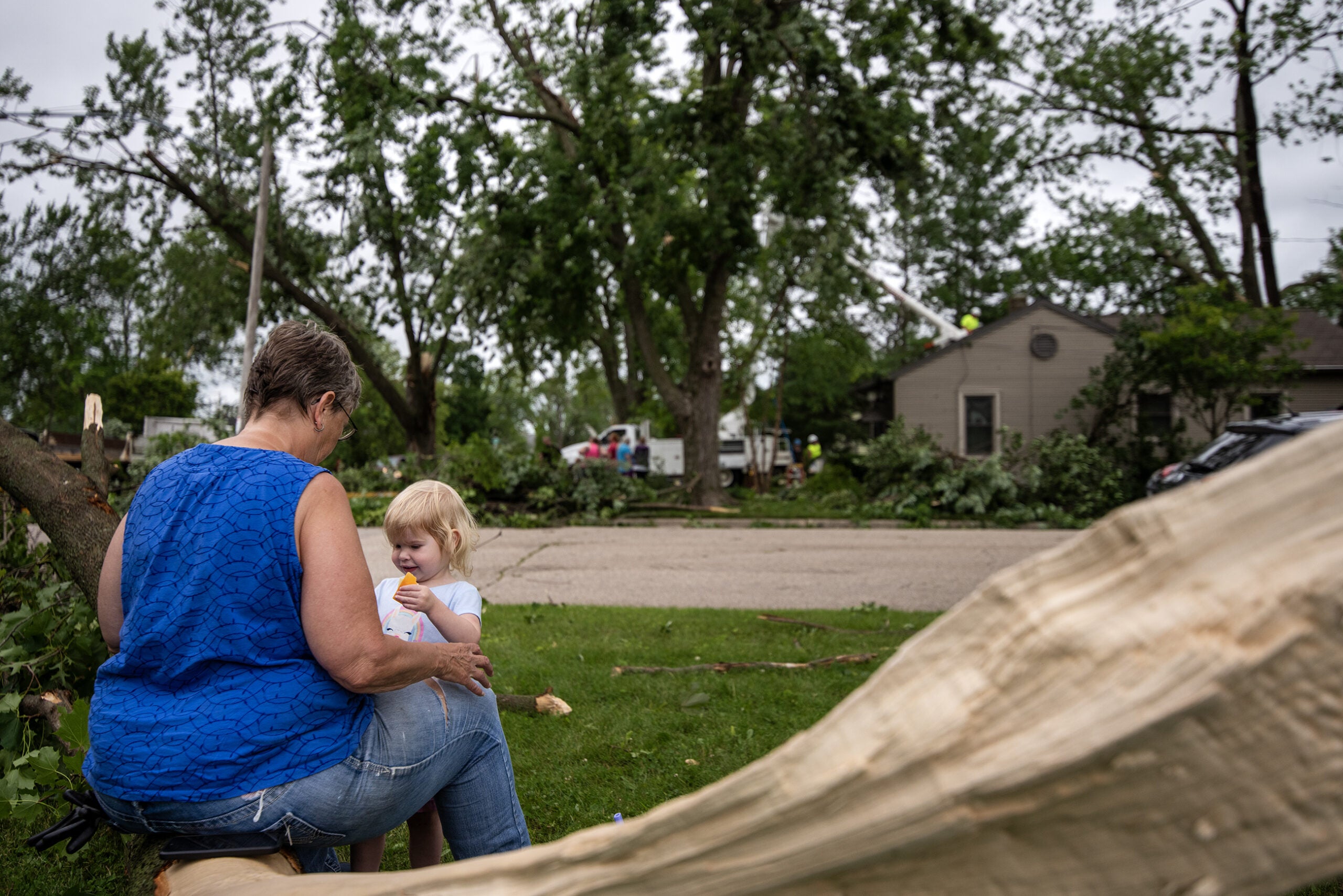
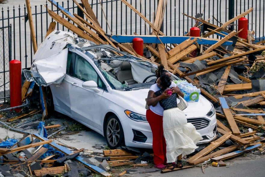
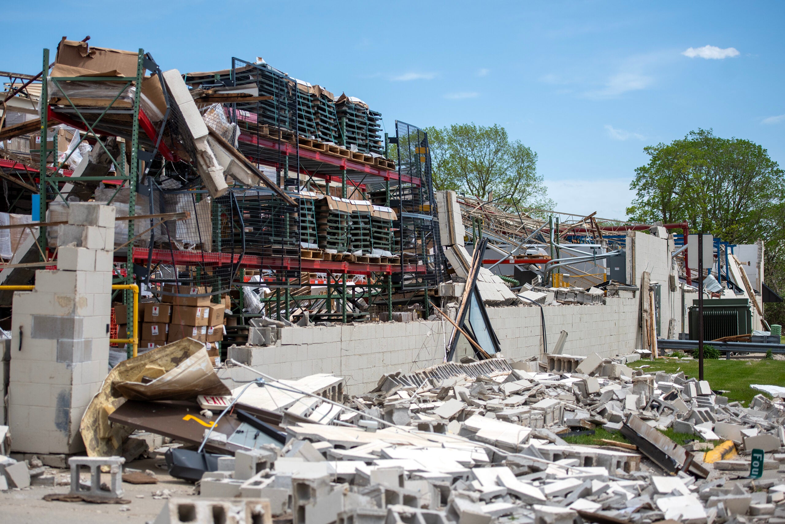
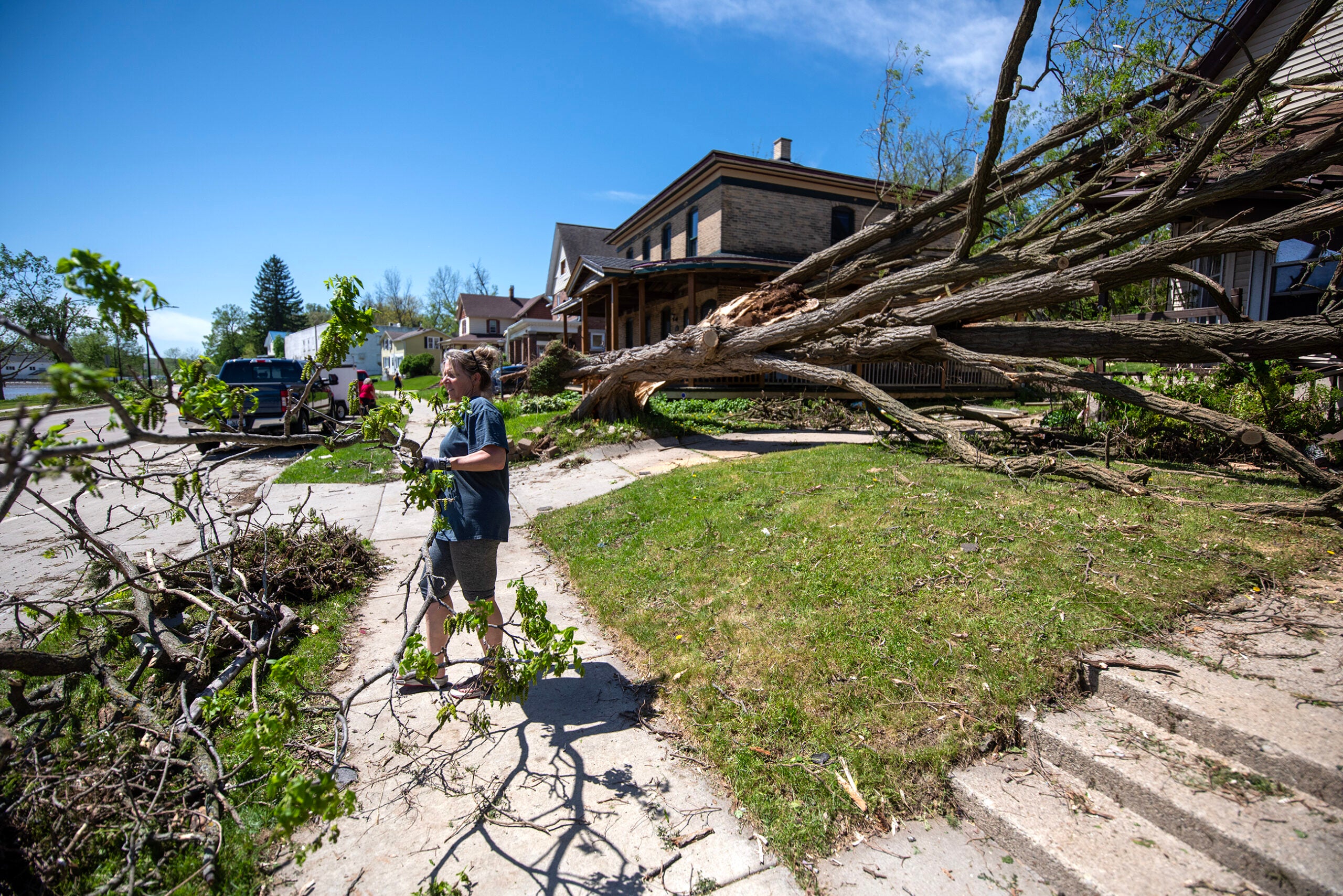
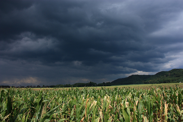
Another spate of severe weather ripped through Wisconsin Saturday evening, with at least one confirmed tornado near Janesville.
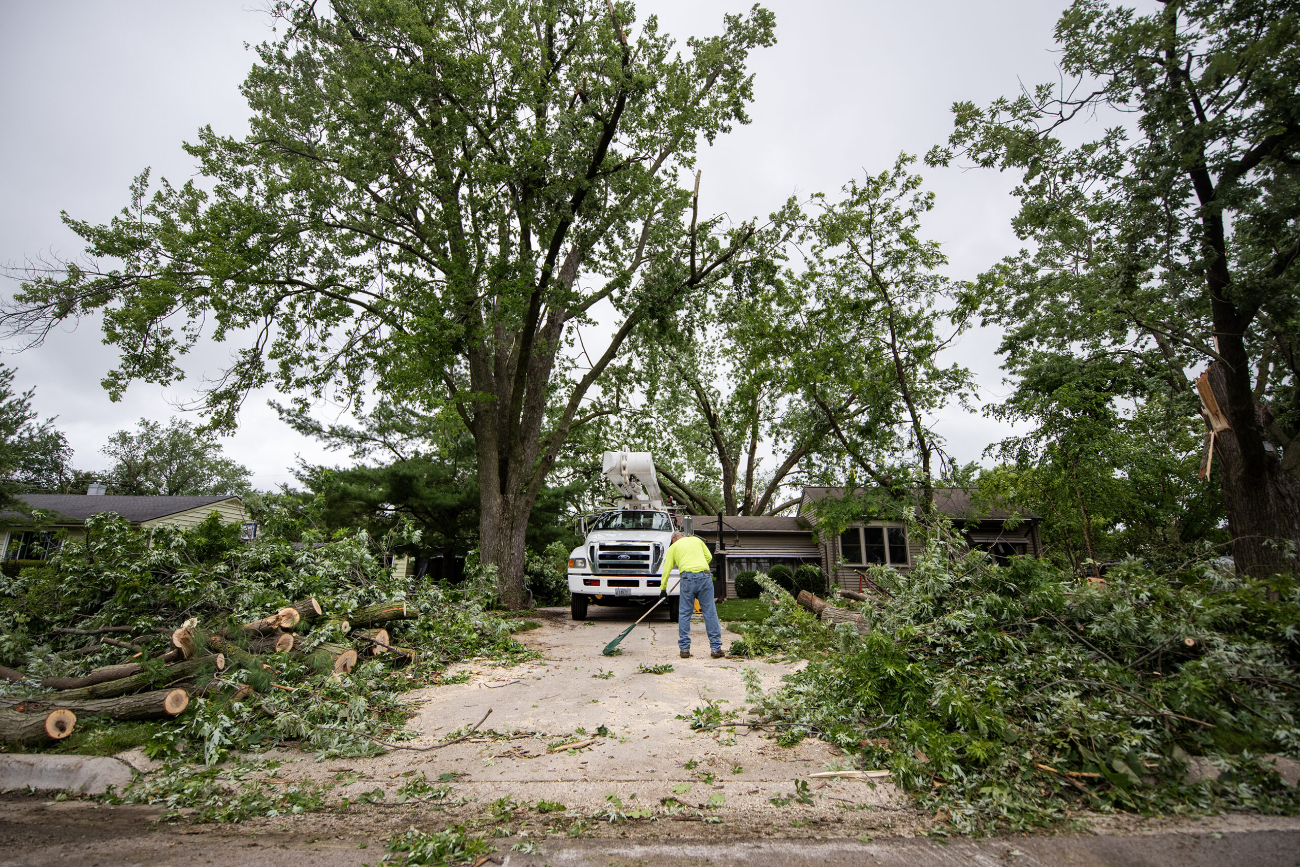
During a press conference Sunday, Janesville City Manager Ryan McCue confirmed a tornado touched down on the south side of the city, causing considerable damage.
McCue asked people stay away from the area for the next several days.
News with a little more humanity
WPR’s “Wisconsin Today” newsletter keeps you connected to the state you love without feeling overwhelmed. No paywall. No agenda. No corporate filter.
“We are asking residents to stay away,” McCue said. “It is not a safe situation right now, with a lot of down power lines. Last night there were a lot of gawkers, and we are trying to avoid that.”
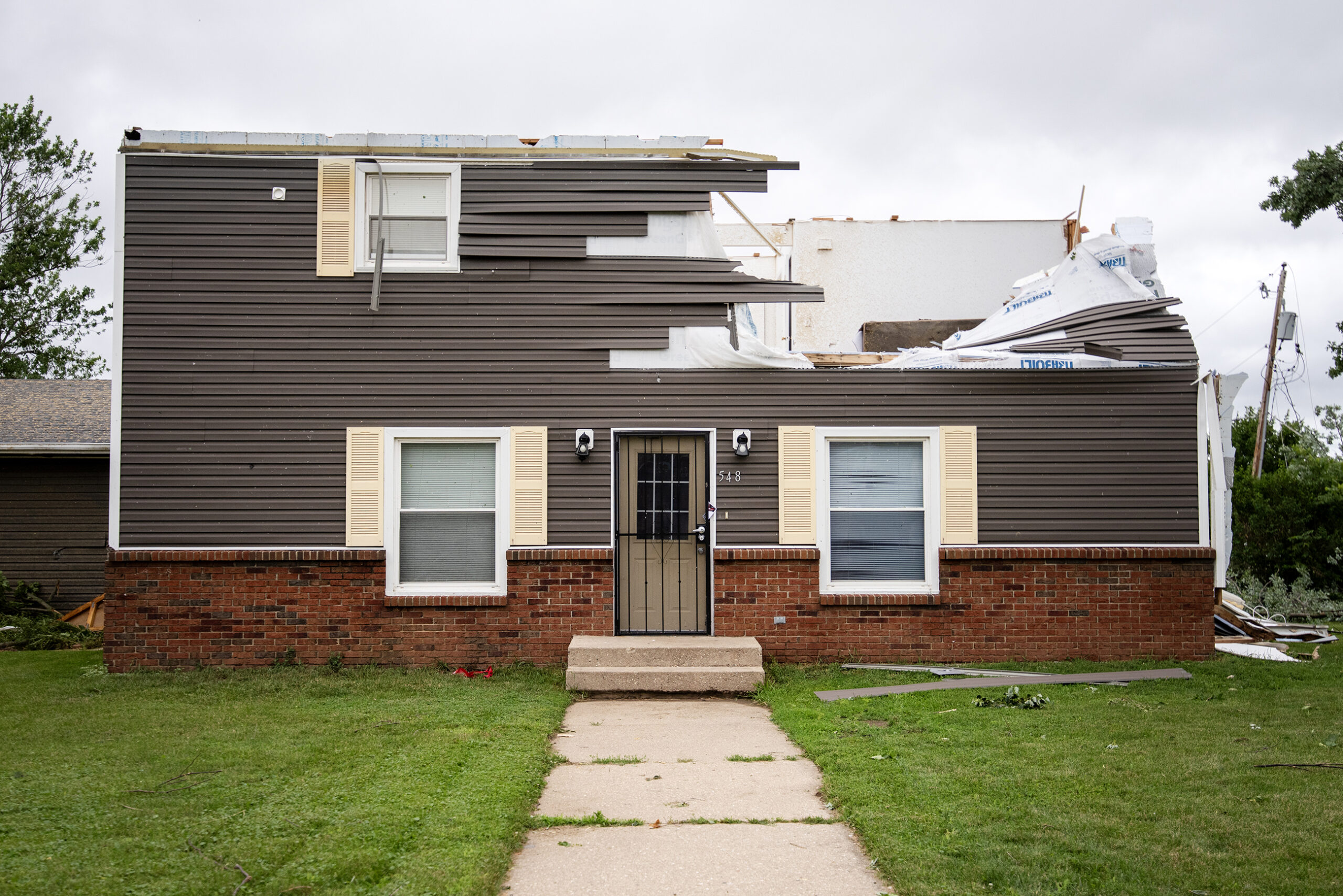
As of 10 a.m. Sunday, WE Energies was reporting 700 people without power, while Alliant Energy was reporting about 9,000 customers without power.
In addition to Janesville, the National Weather Service is investigating possible tornadoes in Williams Bay, Argyle and Belmont and the Marshall, Waterloo and Watertown areas, said Milwaukee-Sullivan meteorologist Sarah Marquardt.
“We are taking a look at everything today and will assess the path for those areas, before we really make a decision of what happened, but four possible tornadoes,” Marquardt said.
These latest severe storms come just three weeks after five tornadoes were confirmed by the National Weather Service in late May. Those storms were in Buffalo, Trempealau, Eau Claire, Clark and Marathon counties.
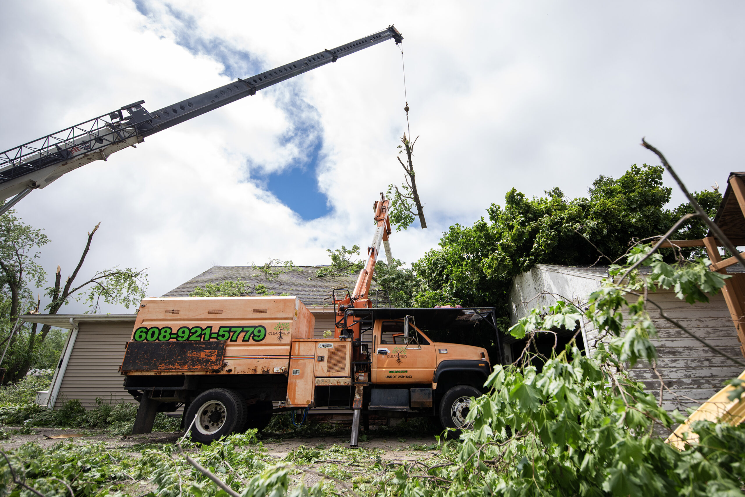
Marquardt said the statewide count before Saturday night’s storms was at 26 tornadoes — which is just above average.
“It has been a very active stretch the past few months,” she said. “Especially after last year, with the drought. This season has gotten off to a very wet start and has been very active with storms.”
The weather service also had reports of flooding along the Baraboo River, in Columbia County, the Lodi area, New Glarus, Prairie du Sac and north of Madison.
Wisconsin Public Radio, © Copyright 2025, Board of Regents of the University of Wisconsin System and Wisconsin Educational Communications Board.

