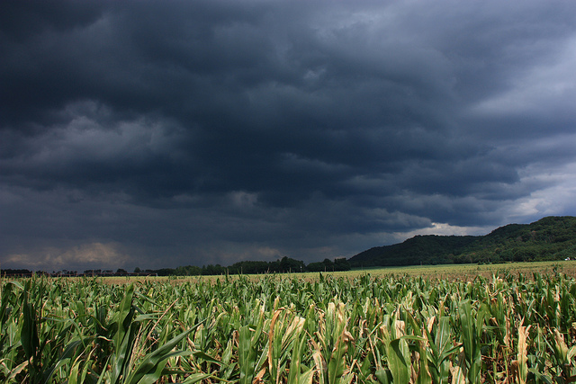
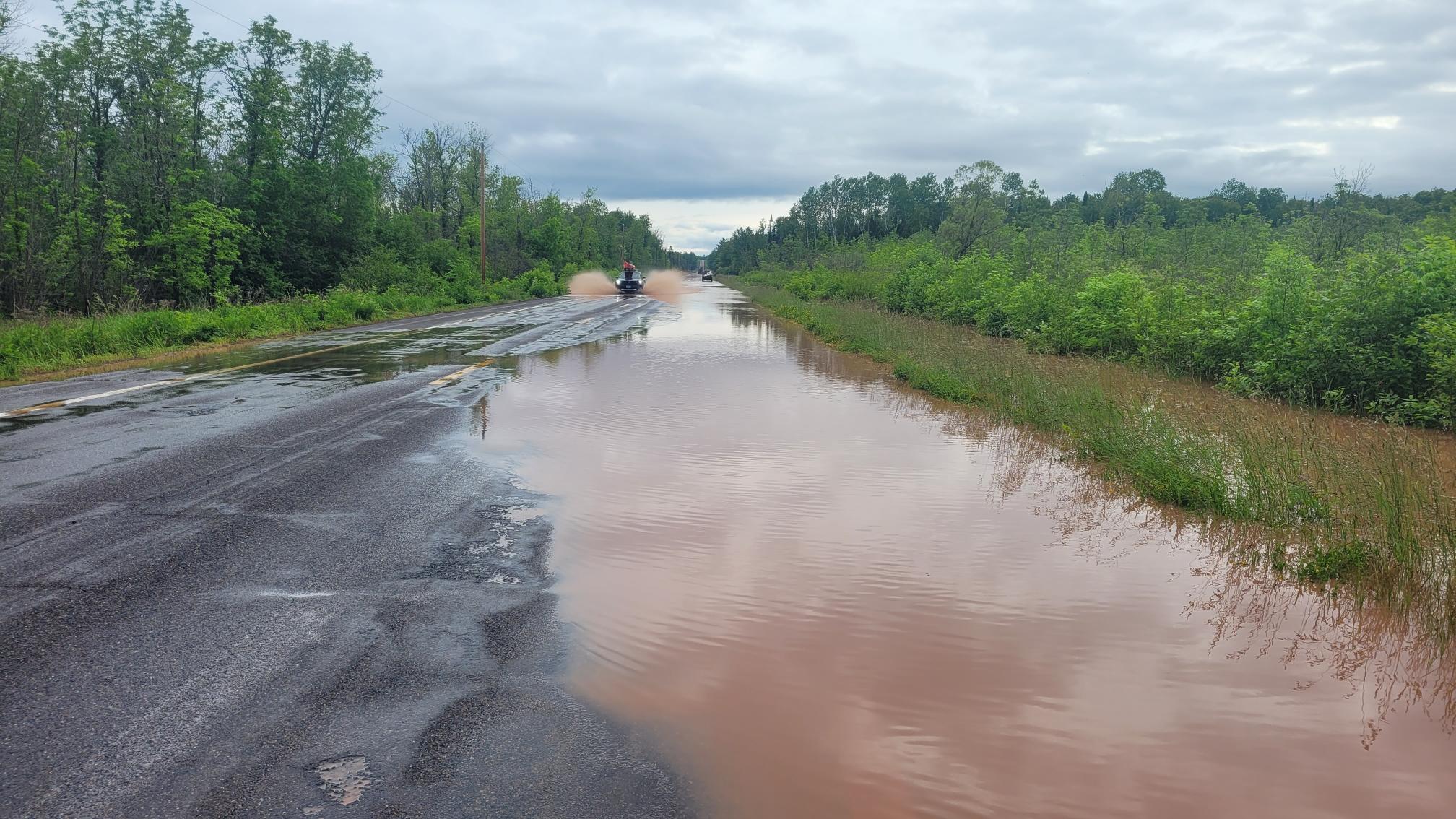
Much of Wisconsin could see heavy rainfall Friday and Saturday with the potential for severe weather.
Multiple rounds of thunderstorms are expected in the Milwaukee area tonight through Saturday, according to the National Weather Service at Milwaukee-Sullivan.
“Scattered showers and storms will develop this afternoon, with damaging winds and hail possible,” NWS Milwaukee posted on social media. “Several rounds of thunderstorms are then expected Saturday, with severe storms in the afternoon. Heavy rain brings potential for flooding throughout today and tomorrow!”
Stay informed on the latest news
Sign up for WPR’s email newsletter.
Milwaukee’s forecast predicts up to an inch of rain on Friday, with the potential of up to two and a half inches by Sunday if certain conditions are met, according to the NWS.
Central Wisconsin will also see rain starting Friday afternoon.
“They’re looking at a pretty good shot of two to three inches of rainfall,” said Kurt Kotenberg of the National Weather Service in Green Bay.
It is possible stronger storms will hit the area this afternoon, Kotenberg said. If that happens “we’ll probably see well over two inches of rain there towards Wautoma,” he said.
A warm front coming from the south could cause severe weather depending on where it lands, he said.
“Wherever that warm front goes, I think the setup for today is we could see a really quick brief spin-up tornado. The ones that are on the ground for like one to two to three minutes,” Kotenberg said. “Probably on the weaker side of the spectrum, you know, 65, 70, 75 mile-an-hour winds.”
Northwest Wisconsin will see half-an-inch to one-and-a-half inches of rainfall through the weekend, according to NWS Duluth. The area will see a 10 to 15 percent chance of heavy rain leading to additional flooding.
The Wisconsin River at Rothschild and the Yellow River at Babcock may see minor flooding on Sunday, Kotenberg said. Rivers closer to the Fox Valley are likely to be able to sustain projected rainfall without flooding, he said.
Small streams and creeks may be at risk of flooding if rainfall tops two inches.
“But on the larger scale, generally the forecast is for our rivers to mostly be able to handle it,” he said.
The rain is expected to clear by early Sunday morning, according to NWS forecasts.
Kotenberg said short rounds of rainfall are likely throughout the state for the remainder of the month.
Big downpour events are unlikely, he said, but rather the state is likely to see “little quick hitters.”
“Just every couple days, another round of rain. It’s looking like that pattern for the next one to two weeks,” he said.
Wisconsin Public Radio, © Copyright 2025, Board of Regents of the University of Wisconsin System and Wisconsin Educational Communications Board.
