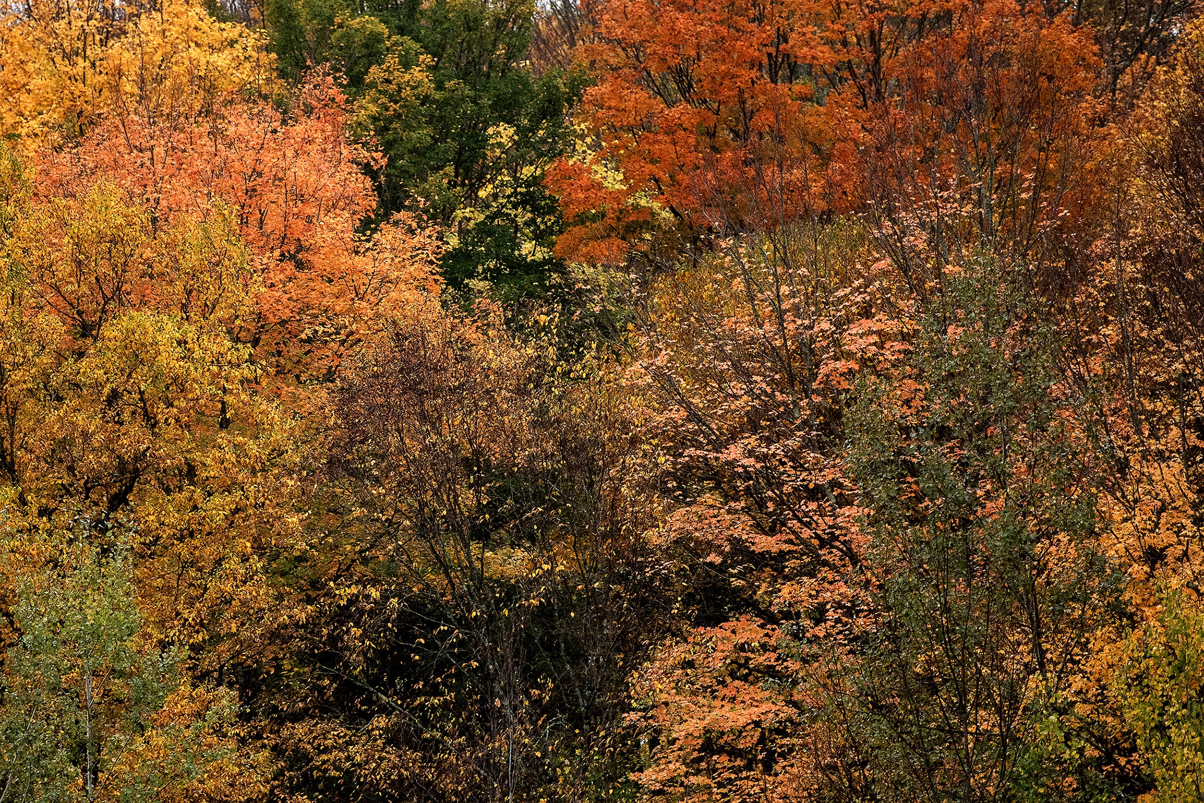
Much of the state had at least a few snow flakes last week. Larry Meiller finds out from the UW Weather Guys whether October snow is usual, or a little earlier than we might expect.
Featured in this Show
-
UFO? Experts Say Maybe A Lenticular Cloud
Clouds are a pretty common feature in the sky and people often don’t focus much on them unless they look particularly threatening or beautiful. But some cloud formations are enough to stop even casual observers in their tracks.
A caller who identified himself as Michael in West Bend asked about lenticular clouds, having seen them around mountain ranges. Steve Ackerman, the director of the Cooperative Institute for Meteorological Satellite Studies at the University of Wisconsin-Madison and a professor of atmospheric sciences, said those clouds look like a lens and are often described as looking “like a UFO, a flying saucer. It’s got that kind of shape.”
When the air is going over a mountain in in a perpendicular direction and the right temperature profile or stability is present in the upper atmosphere, “as the air goes over it, it gets into a wavy structure,” Ackerman said. “It goes up and down, up and down, much like the waves on a lake would do.” If at the crest of those “waves” the relative humidity hits 100 percent, the cloud will form there. But as the air sinks, it also warms, which makes the cloud dissipate, he said.
“So, right along that crest is where you’d get this lens-shaped cloud,” Ackerman concluded.
Jon Martin, a professor of atmospheric and oceanic sciences at UW-Madison, pointed out that lenticular clouds also behave differently than other clouds. It’s usual that air will stay within a cloud, but with lenticular clouds, the air is moving through it while the clouds remain, Martin said. Time-lapse photography shows that most clouds go through cycles of growth and dissipation as the air moves and the temperatures changes.
But in the case of the lenticular clouds, “it just sits there, right on top,” Martin said.
Ackerman said the clouds can even have more than one stacked on top of each other.
“It’s really cool!” Martin added. “They sit on top of the topography, that’s what they’re anchored to.”
But travelers don’t want to see one from the window of an airplane. Ackerman said that they are quite dangerous because they generate a lot of turbulence. That’s because “the length of that wave is a function of the wind speed and the length of the mountain range,” Ackerman said. “So, if that wave length gets very steep, you can imagine it kind of breaking. And that’s what you get when you get those breaking waves, rotor waves, they’re called.”
A listener who identified himself as John from Madison emailed that “sailplane and glider pilots love lenticular clouds. There is a condition known as ‘Sierra Wave.’ They use the conditions to fly as high as 30,000 feet in ‘wave windows’ protected from commercial aircraft. I have flown to 23,000 feet … Yes, there is a certain amount of danger and skill necessary to get towed into the ‘wave.’”
For those interested in learning more about these cloud formations, the Cloud Appreciation Society has a gallery of images of lenticular clouds on its website. The National Weather Service in Reno, Nev., took a time lapse video of a lenticular cloud from May 2013.
Episode Credits
- Larry Meiller Host
- Judith Siers-Poisson Producer
- Jon Martin Guest
- Steve Ackerman Guest
Wisconsin Public Radio, © Copyright 2025, Board of Regents of the University of Wisconsin System and Wisconsin Educational Communications Board.

