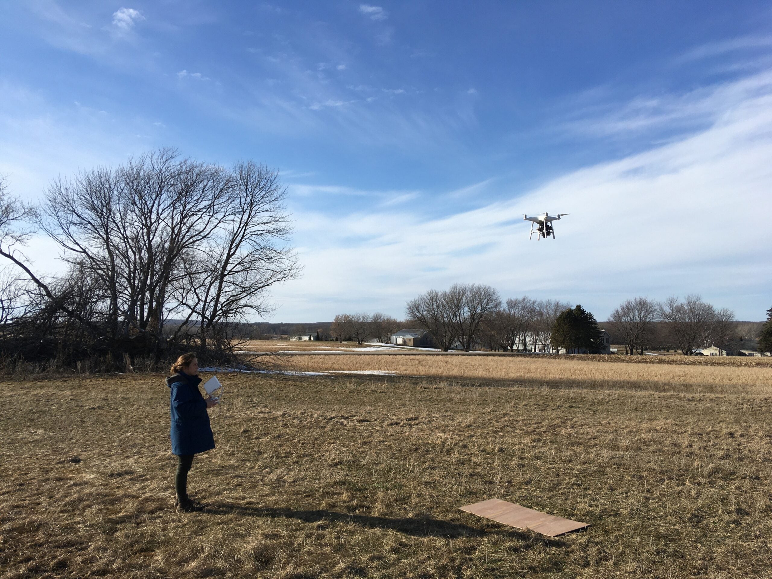
Two Wisconsin researchers are using aerial drones to study our soil and learn about groundwater contamination. We talk with them about how data is captured and what thermal imaging can tell us about what lies beneath the Earth’s surface.
Episode Credits
- Kate Archer Kent Host
- Courtney Everett Producer
- Lee Rayburn Technical Director
- Dave Hart Guest
- Grace Graham Guest
Wisconsin Public Radio, © Copyright 2024, Board of Regents of the University of Wisconsin System and Wisconsin Educational Communications Board.