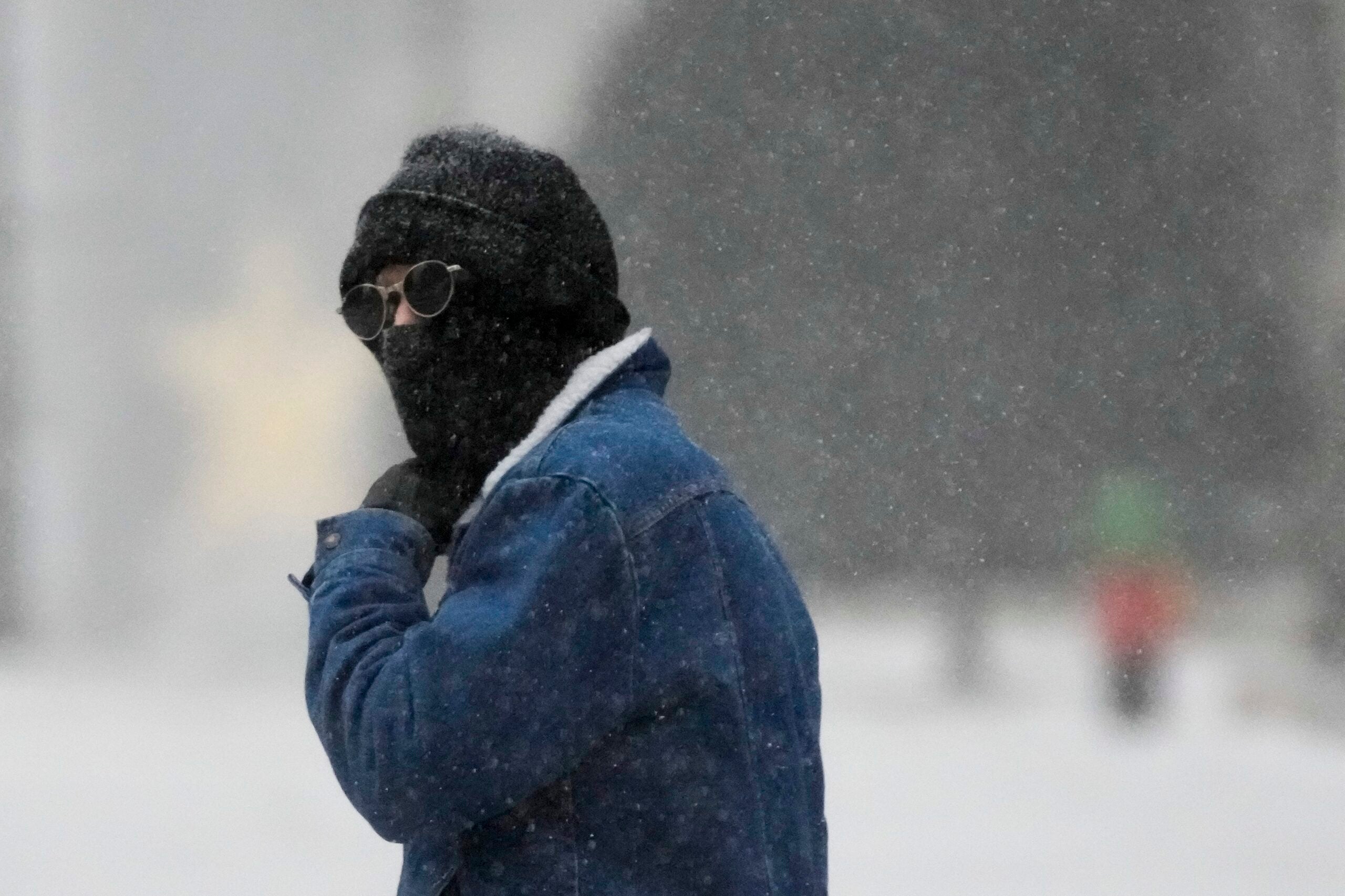
A spring storm is expected to deliver up to 10 inches of snow to central Wisconsin making April feel more like January.
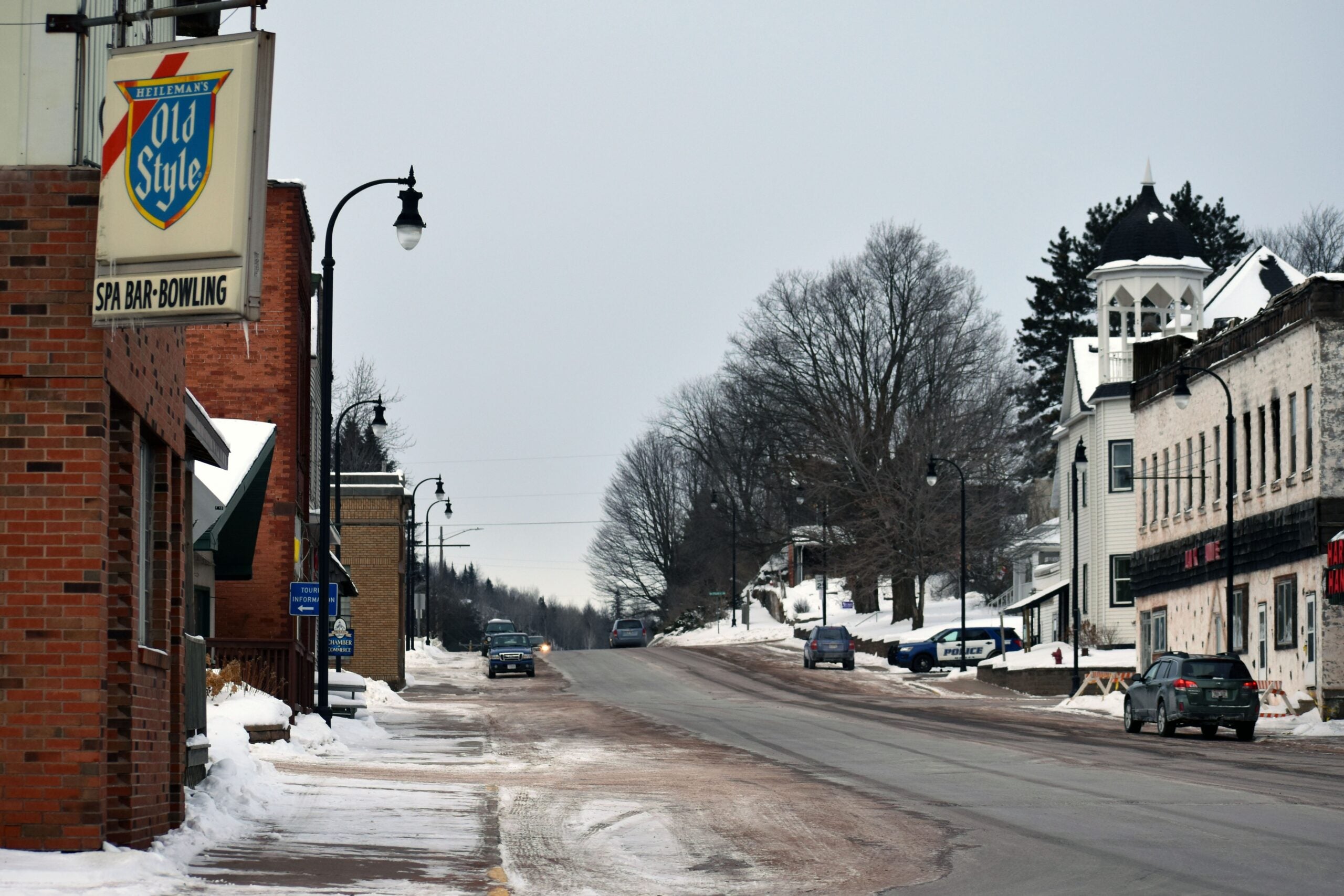
Dozens of schools canceled classes Tuesday as the snow began to accumulate, including the Wausau, Rhinelander, Stevens Point, Crandon and Marshfield districts.
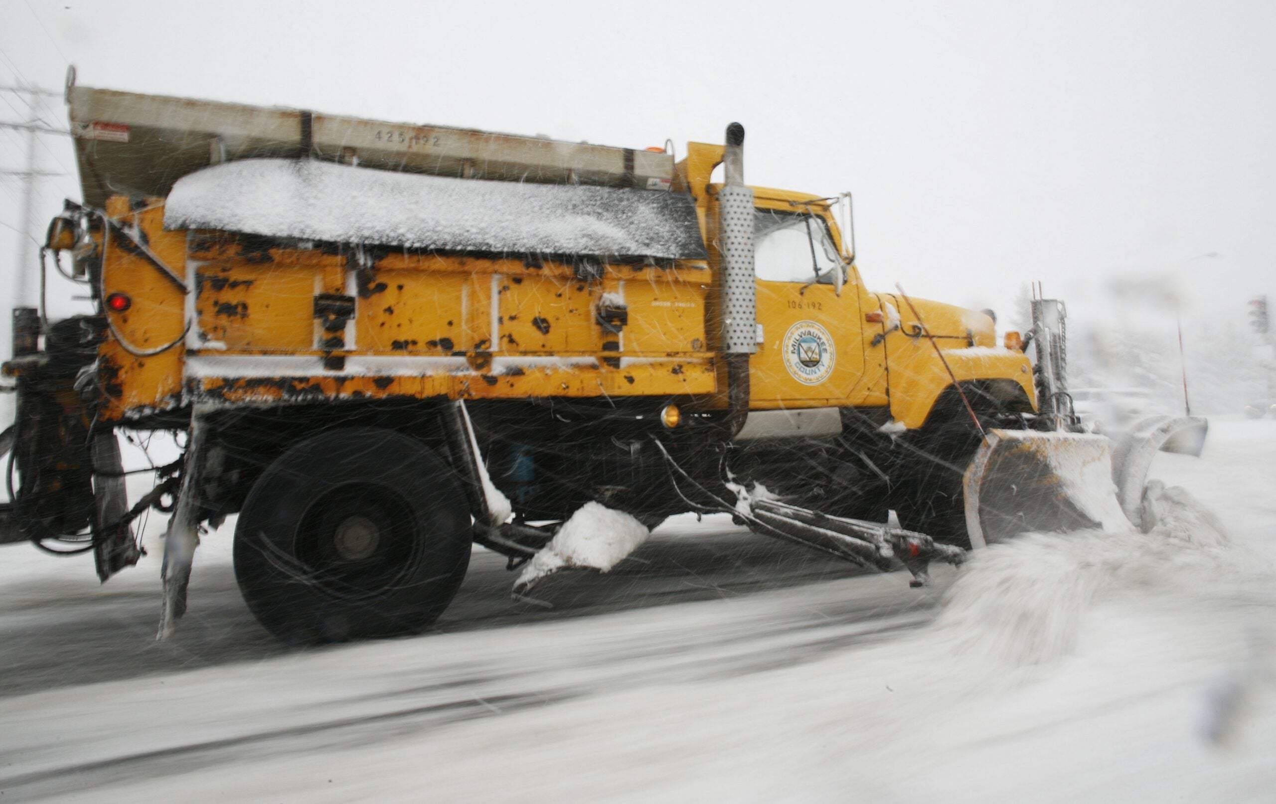
The National Weather Service posted a winter storm warning for Wisconsin’s midsection through Wednesday morning. The winter-like weather conditions are expected to make travel hazardous because of heavy, blowing snow.
Stay informed on the latest news
Sign up for WPR’s email newsletter.
Heavy snow expected today into this evening. Poor travel conditions are expected this afternoon and evening! #wiwx pic.twitter.com/8CMpEU9SYW
— NWS Green Bay (@NWSGreenBay) April 3, 2018
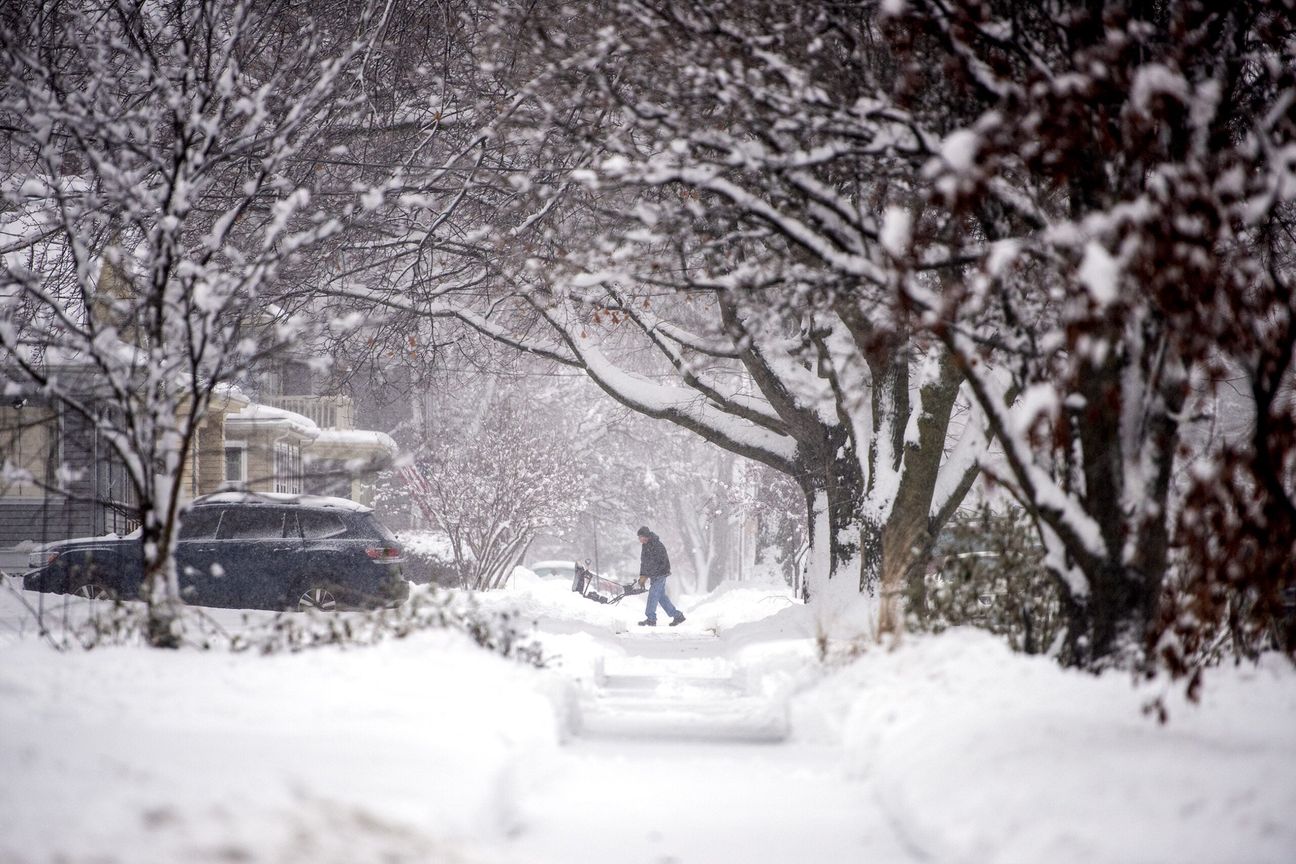
Meteorologist Todd Shea of the National Weather Service-La Crosse said most areas will see 4 to 8 inches of total snowfall before the storm wraps up Tuesday evening.
“It has a little more of a feel of a midwinter snowstorm versus a typical spring storm, which would be bigger, wet snowflakes,” Shea said. “This is a little bit drier, just because of the cooler temperatures that we’re dealing with.”
According to the National Weather Service, roads could be snow-covered and slippery tonight.
Windy conditions could also hamper visibility for drivers.

Wisconsin Public Radio, © Copyright 2025, Board of Regents of the University of Wisconsin System and Wisconsin Educational Communications Board.