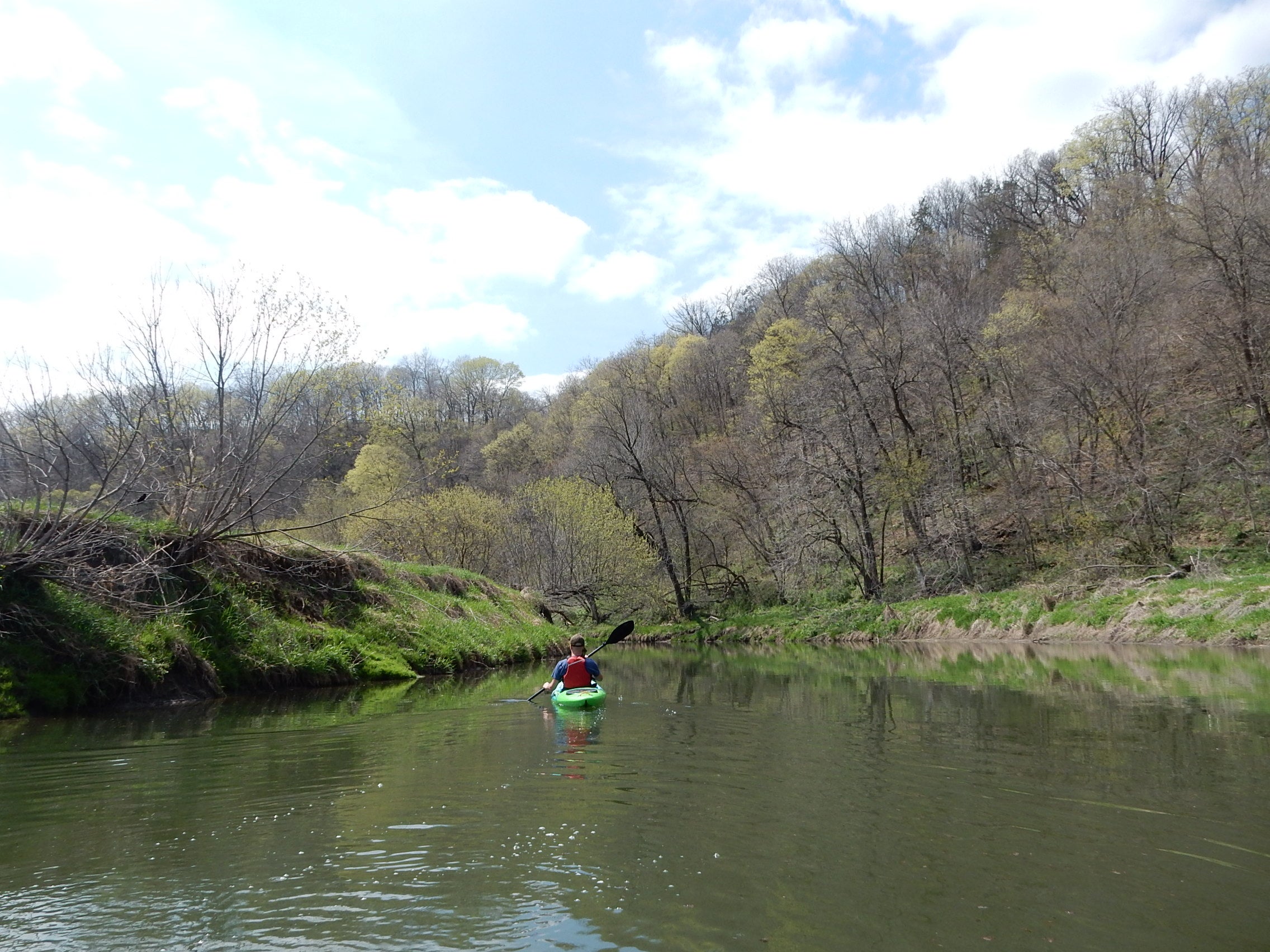
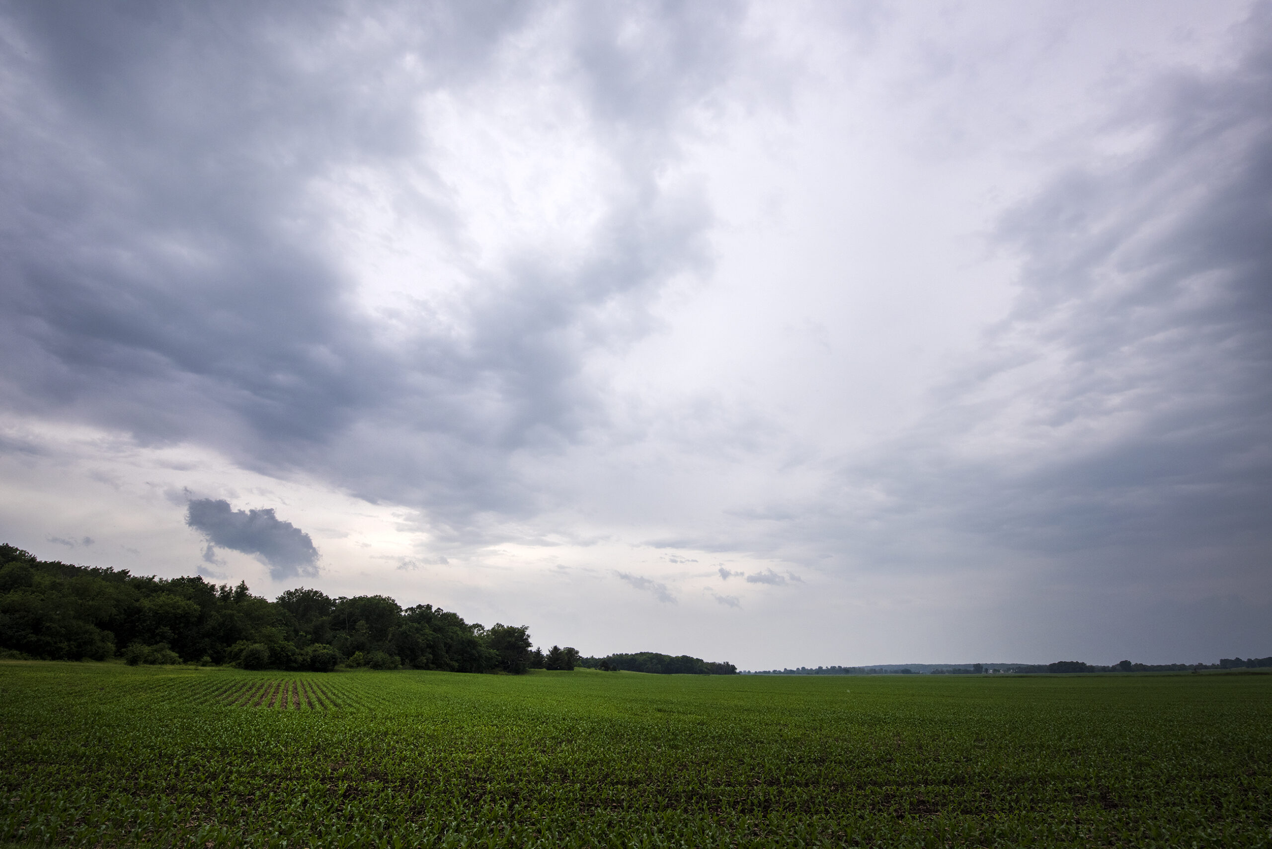
Part of a central Wisconsin trout stream dried up this summer for the first time in roughly a decade as moderate to exceptional drought conditions continue statewide.
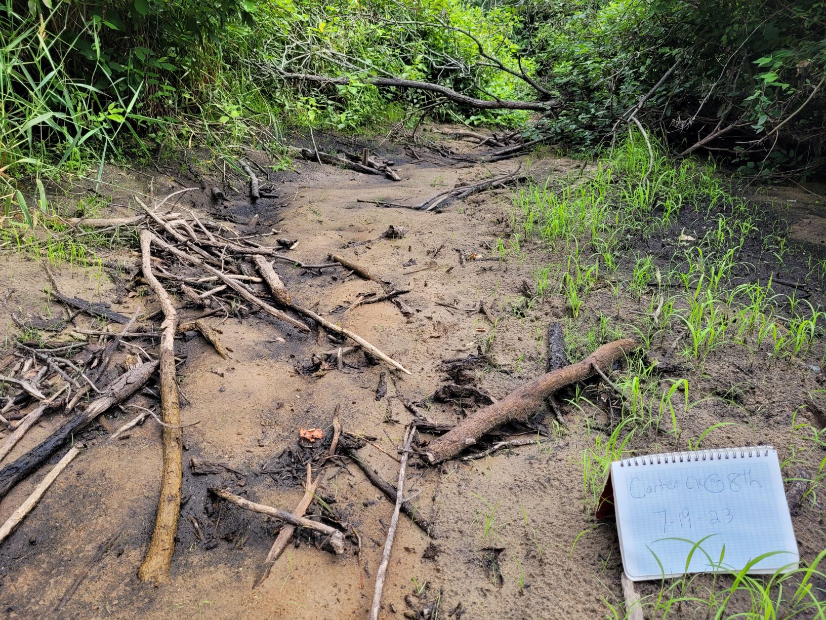
The Wisconsin Department of Natural Resources said staff from the University of Wisconsin-Stevens Point observed that a section of Carter Creek in Adams County had dried up on July 19.
The agency and its partners at the university’s Center for Watershed Science and Education have been measuring flows on Carter Creek for 15 years. In June, flows on one stretch of Carter Creek declined 85 percent from the same time last year to 0.96 cubic feet per second. That section dried up just a month later. Flows were recorded at 6.42 cubic feet per second there in June of last year.
News with a little more humanity
WPR’s “Wisconsin Today” newsletter keeps you connected to the state you love without feeling overwhelmed. No paywall. No agenda. No corporate filter.
Adam Freihoefer, the agency’s water use program manager, said it’s the first time stretches of the creek have run dry since the 2012-13 drought.
“I think this coincides with where you’ve got situations where you have these headwater trout streams, and they’re dependent on groundwater. And you’ve got a drought,” Freihoefer said. “In that case with Carter Creek, you also have quite a few high capacity wells in the vicinity.”
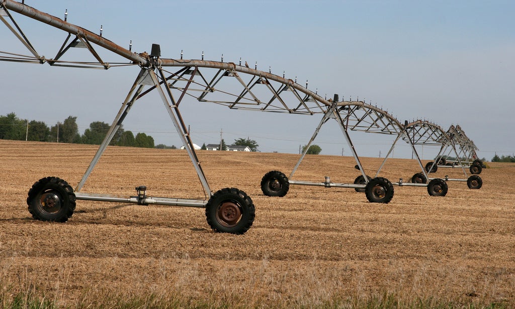
High capacity wells can draw more than 100,000 gallons per day from groundwater for irrigation and other uses. Adams County lies within the Central Sands region that spans 1.75 million acres east of the Wisconsin River in parts of eight counties, including Adams, Marathon and Portage counties.
The area has around 3,100 active high capacity wells — nearly 30 times the number of wells than 60 years ago. The average capacity of those wells used for irrigation is around 1.4 million gallons of water per day, according to a 2021 study. That study was ordered by lawmakers under a 2017 law that relaxed regulations on high capacity wells.
The Central Sands region is the state’s biggest production area for potato growers, according to Tamas Houlihan, executive director of the Wisconsin Potato and Vegetable Growers Association. Wisconsin is third in the nation for potato production, and Houlihan said growers produce around 2.5 billion pounds of potatoes or roughly 25 million hundredweight each year. He said more than 95 percent of the state’s crop of more than 65,000 acres is irrigated.
Houlihan said their members have been forced to pump more due to a shortfall of rain during the growing season.
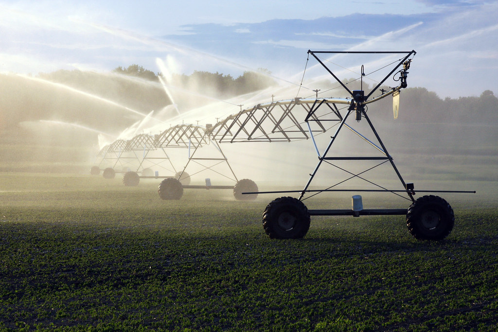
“We feel like the drought is the major driver of lower lake levels and stream flows,” Houlihan said. “But, of course in years of drought, the growers are pumping more. They have to irrigate more, and so that exacerbates the problem.”
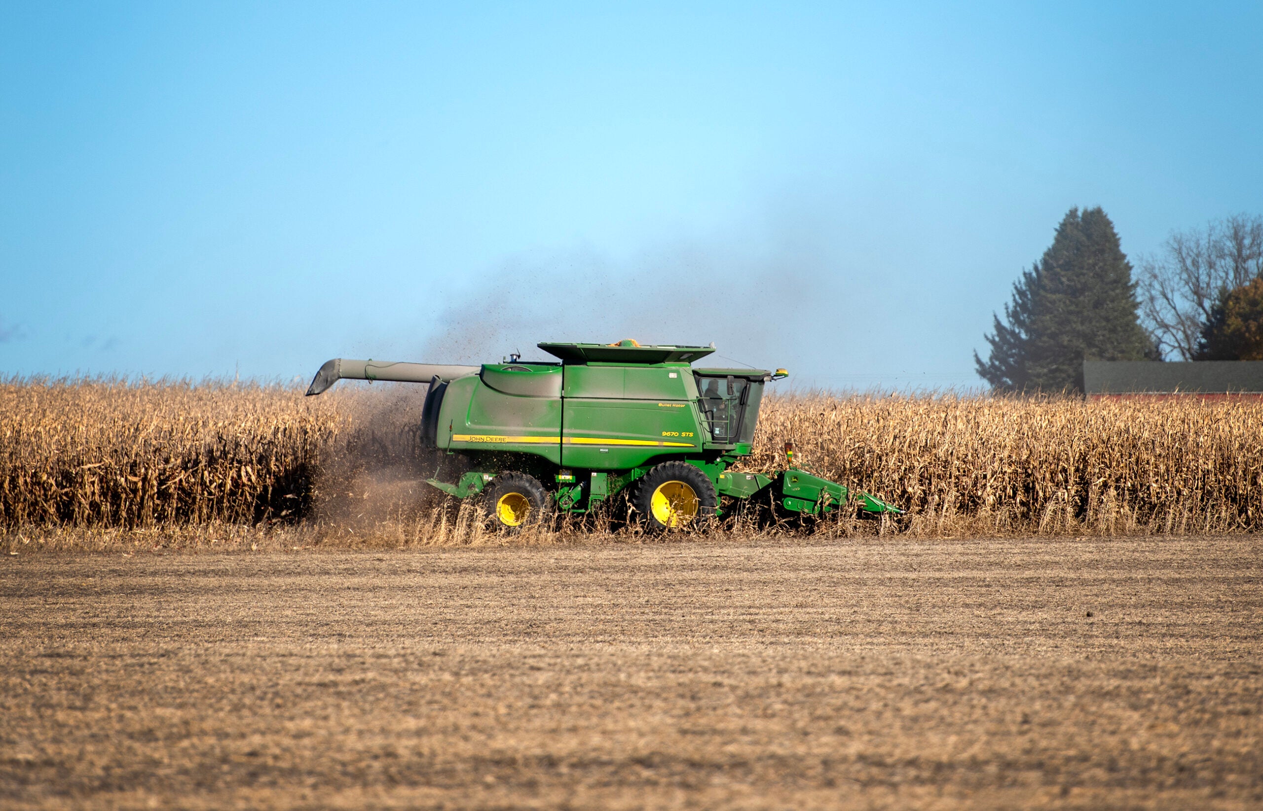
He said 71 percent of the acres farmed are experiencing severe drought in central Wisconsin. Even so, Houlihan said growers are reporting high yields. He said they anticipate growers will produce average to above average yields of up to 27 million hundredweight or roughly 3 billion pounds.
“We’re seeing very good potato crops as a result of all the growers having irrigation systems and being able to keep water on their crops, so we’re very thankful for the ability to irrigate this year,” Houlihan said. “It’s saved the crop.”
At the same time, Freihoefer said water levels have been declining in the central part of the state after a period of record wet conditions in the last decade. In addition to Carter Creek, he said Dry Creek has also gone dry in stretches ironically enough. He said the situation is similar to the findings of the agency’s 2021 study on several lakes in the region.
“In these areas of high-density irrigation, when you’re in drier periods, you’re losing precipitation, so you’ve got less groundwater going into the stream naturally. But then you also need more for pumping,” Freihoefer said. “And that double threat can be taxing on some of these streams and lakes.”
He said the agency would need to examine whether pumping or lack of rainfall is the primary driver of effects on Carter Creek.
The average statewide rainfall is typically about 21.5 inches from April through mid-September, according to Steve Vavrus, state climatologist and director of the Wisconsin State Climatology Office. However, most of the state is seeing a shortfall of rain ranging from six inches to a foot with the hardest hit areas in Monroe, Vernon, Richland and Crawford counties in southern Wisconsin.
Compared to the 2012 drought, Vavrus said dry conditions have hit the entire state with prolonged effects this year.
“We’re currently at the worst conditions on record since the U.S. Drought Monitor began in 2000,” Vavrus said. “So that puts it in perspective — even worse than 2012 by a little bit. That’s saying something.”
In central Wisconsin, Vavrus said the region has very sandy soils that drain well, noting its among the worst areas in terms of stream flow conditions.
Rob Waschbusch, a hydrologist with the U.S. Geological Survey, said stream flows are normal to below normal for most of the state.
“We’re just kind of teetering on the brink,” Waschbusch said. “We haven’t gone over the cliff yet. (In) June, I was like, ‘Oh my gosh, we better get some rain.’ Then, we started getting some rain, but we didn’t get a lot. So we’re still kind of flirting with it.”
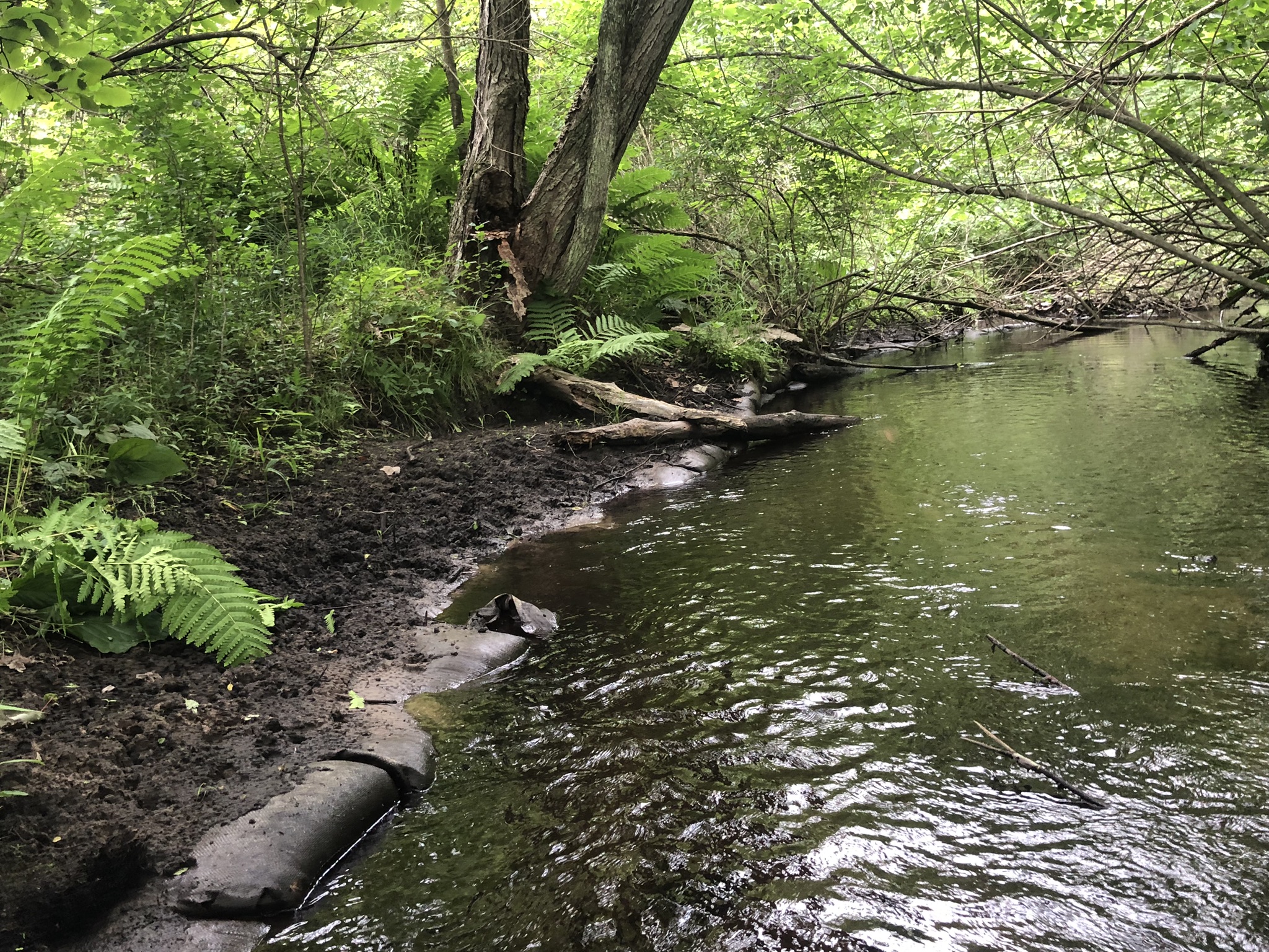
He said streams that are groundwater-fed will likely be better off than those that rely on runoff from rainfall, noting some dry up every year.
Freihoefer noted the Little Plover River has also been running below the public rights flow established for the river. Houlihan acknowledged flows on the river have been below healthy levels for about 60 days. The minimum flows set by the state are intended to protect fish and wildlife habitat.
Freihoefer said DNR biologists are documenting spots where streams are low or going dry, but also the effects on the fishery.
“For example, habitat that’s been installed that’s now exposed and not doing its job — things like that, so we can understand what the impacts to the ecology of the fishery may be down the road,” Freihoefer said.
Meanwhile, Houlihan said growers are committed to finding solutions that balance the sustainability of the state’s water resources and the industry.
“We like a balanced approach that prioritizes both environmental stewardship and economic vitality,” Houlihan said.
Wisconsin Public Radio, © Copyright 2025, Board of Regents of the University of Wisconsin System and Wisconsin Educational Communications Board.

