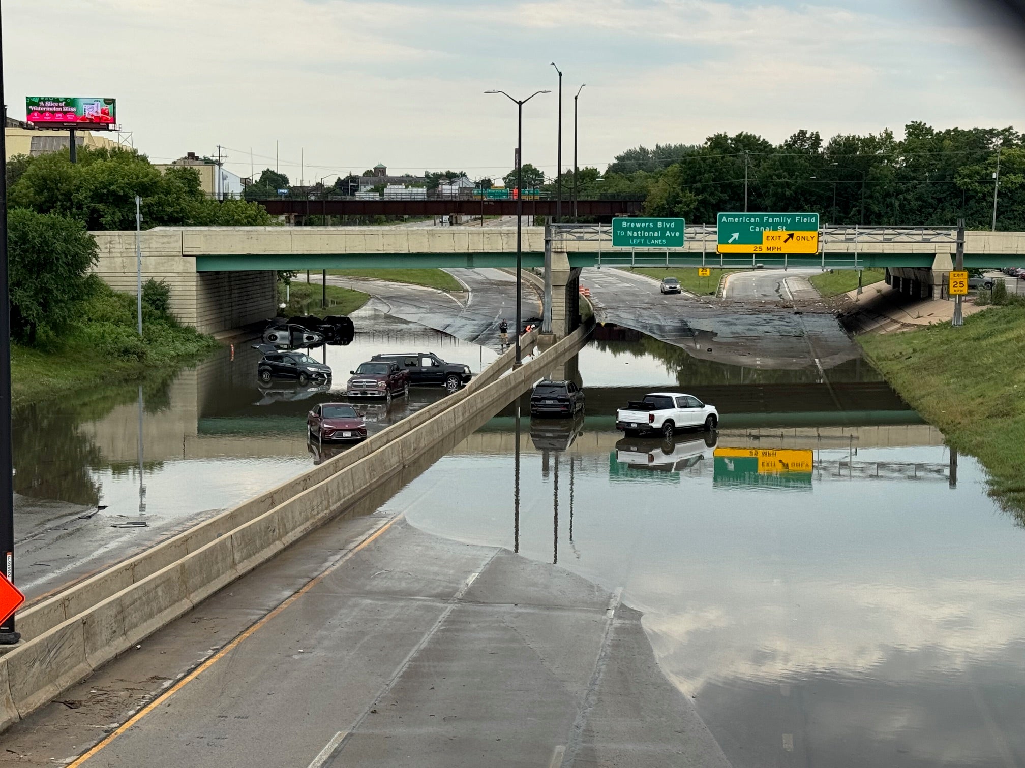
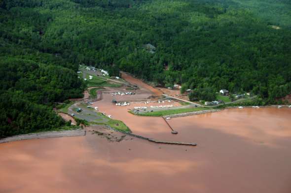
A recently released study found extreme floods in northern Wisconsin could cause up to $24 million in damage to more than 1,300 homes and businesses. Now, county officials are hoping the information can be used to reduce or mitigate flood risks.
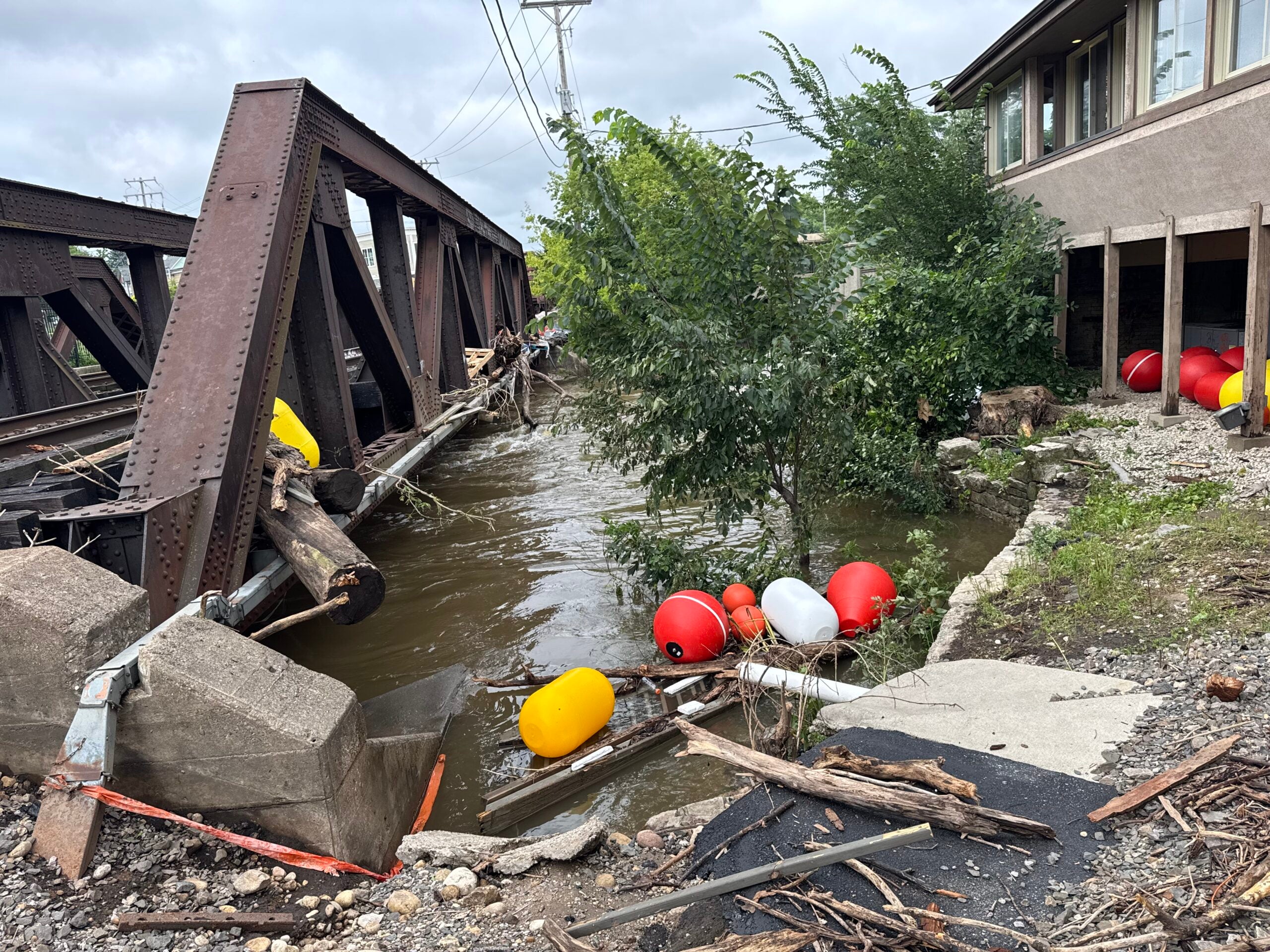
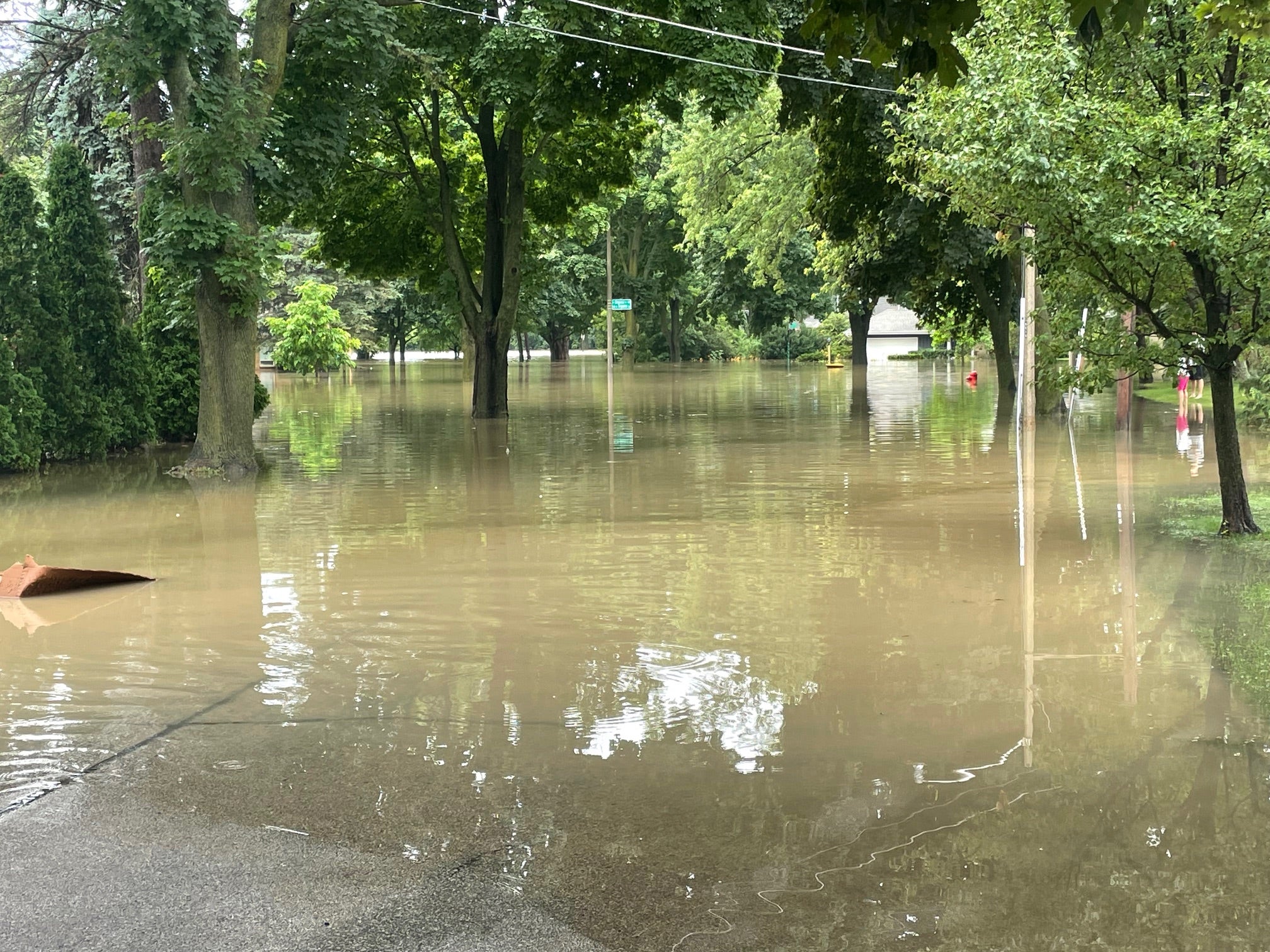
The study, prepared by the Northwest Regional Planning Commission, used Federal Emergency Management Agency software to develop a flood model that estimated damages across seven counties impacted in the July 2016 storm. More than 300 homes and businesses experienced roughly $2.6 million in damages. Flooding also caused more than $38 million in damage to roads and public infrastructure.
Clem Larson, the commission’s geographic information specialist, said they examined what might happen during floods that occur once every 100 or 500 years.
News with a little more humanity
WPR’s “Wisconsin Today” newsletter keeps you connected to the state you love without feeling overwhelmed. No paywall. No agenda. No corporate filter.
“Using this tool, we’ve identified key places where damage is likely to occur,” he said.
The seven counties include Ashland, Bayfield, Burnett, Douglas, Iron, Sawyer, and Washburn counties.
The study gives 148 local governments and five tribes located within those counties a glimpse of what roads, bridges, homes and businesses could be impacted by extreme flood events like the one that occurred in 2016.
“This kind of takes that kind of event and spreads it across the county where an area didn’t receive flooding when that storm came through, but this is what it could possibly look like if a storm of that magnitude came through that area,” Larson said.
The study found Sawyer County could see some of the most damage to homes and businesses due to the number of lake properties, Larson said.
Douglas County Emergency Management Director Keith Kesler said the study may help them to reduce flooding in some areas.
“It’ll give us a better outline or idea of where the water can go when we get these large rainfalls,” said Kesler. “I can see where it would really help the highway department in planning for upsizing of culverts. It’ll probably give us the ammunition we need to get larger culverts put in when smaller ones get washed out.”
Kesler said areas of the county, including the Town of Superior, have experienced damage to the same roads during the 2012, 2016 and 2018 floods.

A church is surrounded by flood waters in the middle of the Bad River reservation in Odanah. Bureau of Indian Affairs
Bayfield County Emergency Management Director Jan Victorson said the towns of Mason and Lincoln have also seen repeated damage despite mitigation efforts or increasing the size of culverts. She hopes the study may enhance their understanding of vulnerable areas.
“My hope is that means it will help us prevent some damages in the future or at least mitigate those damages,” she said.
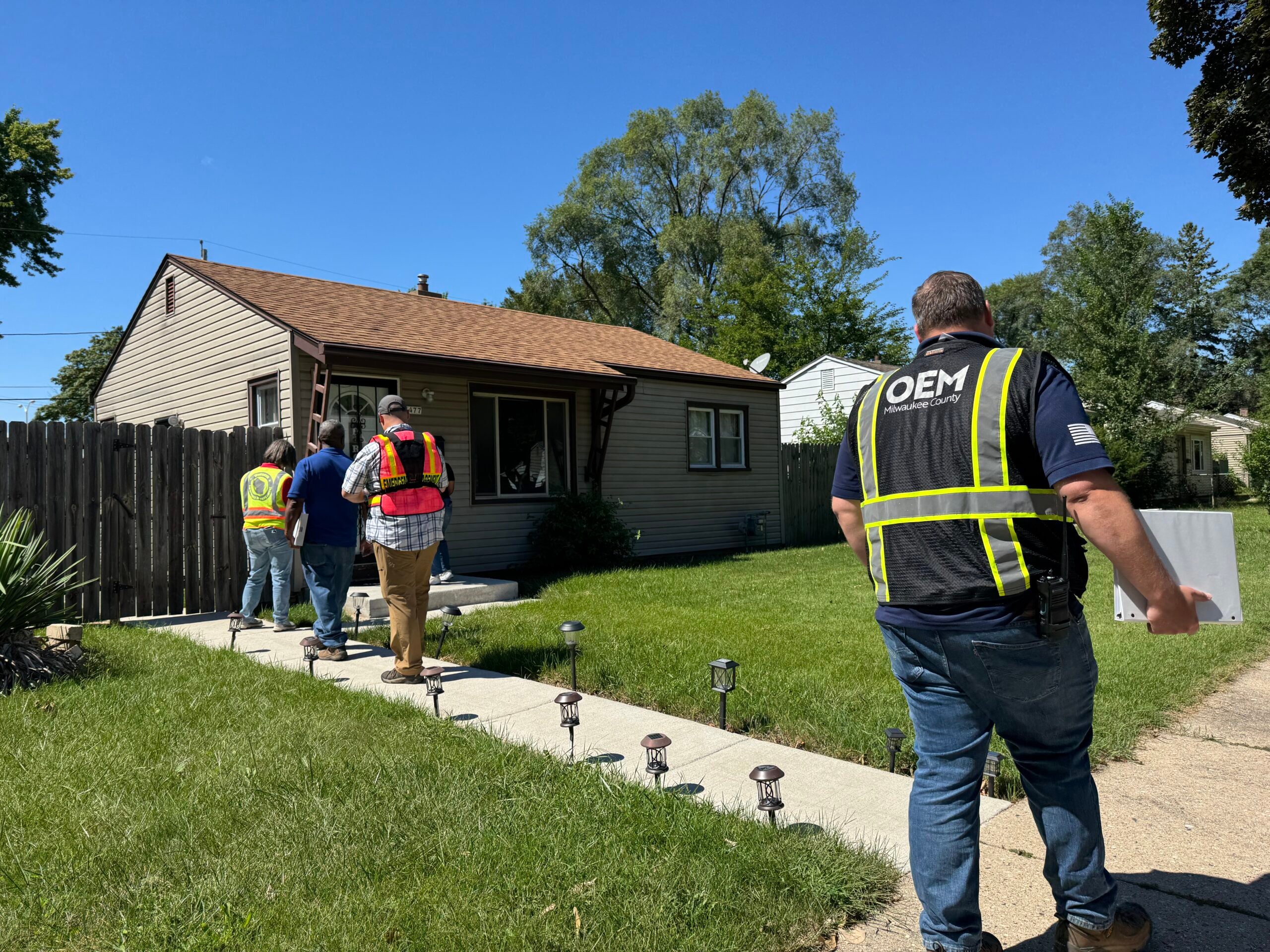
The commission and county officials say the study provides information for hazard mitigation planning so they can make the case for federal funding to support flood mitigation projects. Counties must often repair damaged roads to the way they were before the flooding when they receive federal disaster funding, which can mean repairs may wash away in the next storm.
“What we really need to do is we need to upgrade those pipes,” said Emmer Shields, highway commissioner for Ashland County. “If they washed out, obviously they were not sized probably properly and they need to be replaced with a pipe that is going to take at least 100-year storm.”
However, Shields noted hazard mitigation funding is available under FEMA, and the agency allowed the county to increase the size of a handful of culverts to reduce future flood risks.
Part of the problem, Shields said, is that storms in the last several years have been “off the charts,” making it almost impossible or too costly to engineer roads to withstand them.
The study recommends steps that counties and local governments can take to reduce damage from flooding, including upsizing culverts, building flood walls or installing green infrastructure to retain water. The report was funded by the U.S. Economic Development Administration and Wisconsin Economic Development Corp.

Wisconsin Public Radio, © Copyright 2026, Board of Regents of the University of Wisconsin System and Wisconsin Educational Communications Board.