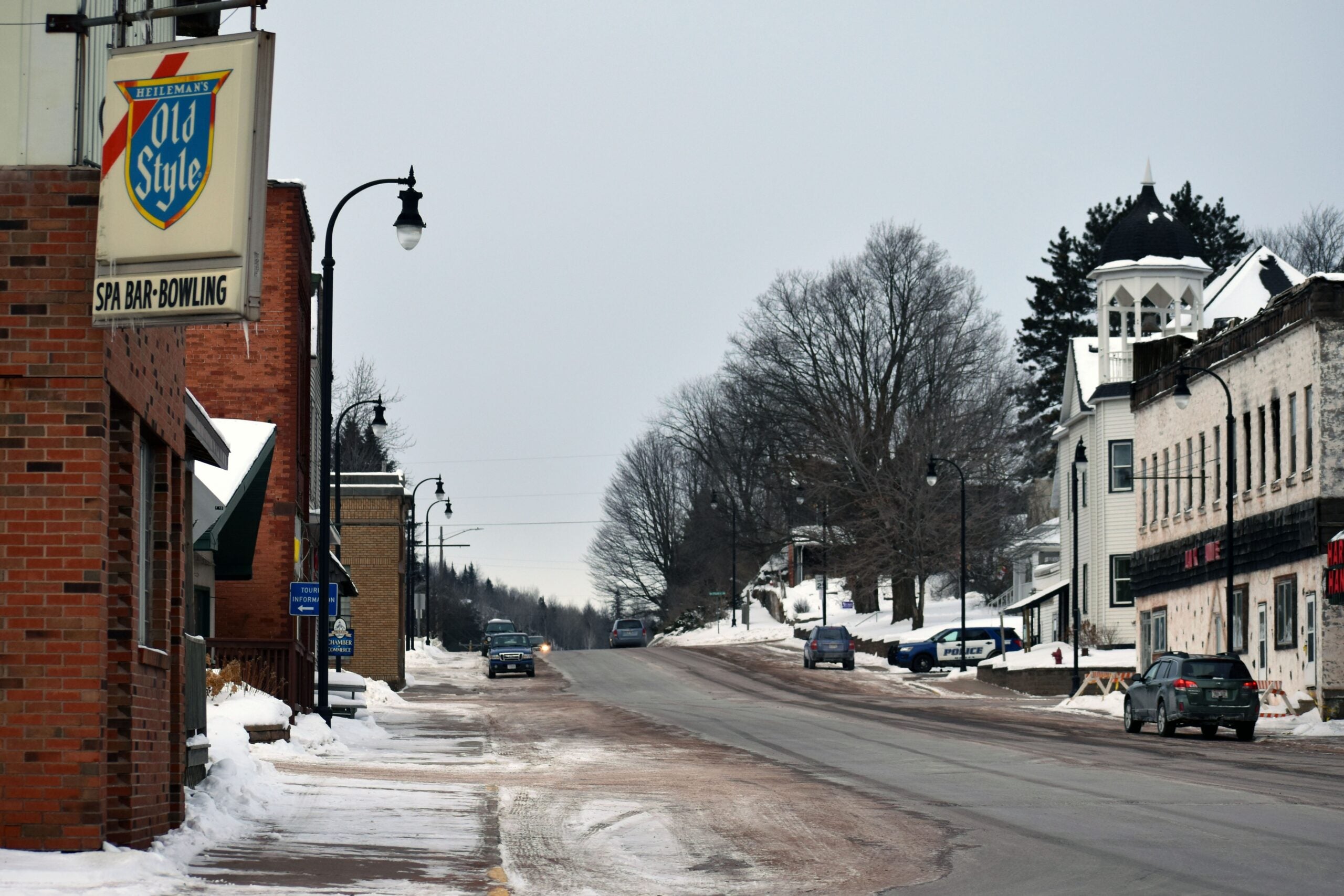
The Weather Guys explain how lake effect snow can produce so much snow in a short amount of time, and why Wisconsin has been feeling more like January than November.
Featured in this Show
-
UW Weather Experts Explain Lake-Effect Snow
The several feet of lake effect snow that buried Buffalo, N.Y., has gotten a lot of national media attention, but Wisconsinites near the Great Lakes are used to snow that is produced by conditions near those large bodies of water.
Like many weather phenomena, lake-effect snow is produced when air and water that are each at the necessary temperature meet.
“Fundamentally, when you bring cold air coming out of the Arctic … and bring it over warmer water, that enhances the evaporation of the water off the lakes up into the clouds,” said Steve Ackerman, who directs the Cooperative Institute for Meteorological Satellite Studies at the University of Wisconsin-Madison, and is also a professor of atmospheric sciences.
He said that if the conditions are present to form clouds, the evaporated water turns into precipitation, which falls when the clouds pass over a land mass.
Jon Martin, a professor of atmospheric and oceanic sciences at the UW-Madison, added that the “combination of the availability of moisture … and how warm the lake surface is compared to adjacent land surfaces” is key.
“Once that cold air moves over that warm (surface), it’s like moving over a hot plate,” Martin said.
That upsets the stability of the different elements, which in turn generates the precipitation.
In the case of Buffalo, Ackerman said the precipitation extended along the entire length of Lake Erie. Martin added that the system was stationary.
“It was just in the middle of the lake that whole time,” he said, which accounts for the many feet of snow that fell in a short period of time.
For people living near Lake Superior, lake effect is exacerbated by a rise in the land along the lake, Ackerman said.
While lake-effect snow is most often associated with very large bodies of water like the Great Lakes, Martin said that there’s a reliable determinant of whether a lake effect happens: a “fetch,” an area of water in which wind blows over the surface to create waves. Larger bodies of water generate fetches more often since in all directions, there is generally enough space for them to develop.
In the recent snow event in Buffalo, Martin said that because the fetch was aligned perfectly along the long axis of Lake Erie, it was a textbook example of extended lake-effect snow.
“The maximum amount of evaporation that could possibly occur did,” he said. “And the consequence was historic snow.”
The conditions that produce lake effect snow can also become active over the ocean, but it does have to meet a land mass to trigger the precipitation.
Similarly, Martin said that while less common, lake-effect rain is also possible. Martin explained that when the air temperature is warm enough to not produce snow, then there is not usually a big enough difference between water and air temperatures. That means that the instability that triggers the effect isn’t created.
Episode Credits
- Larry Meiller Host
- Judith Siers-Poisson Producer
- Steve Ackerman Guest
- Jon Martin Guest
Wisconsin Public Radio, © Copyright 2025, Board of Regents of the University of Wisconsin System and Wisconsin Educational Communications Board.


