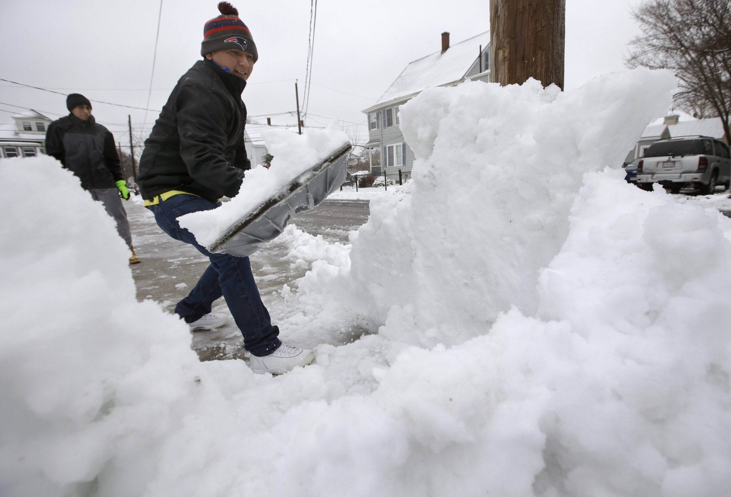
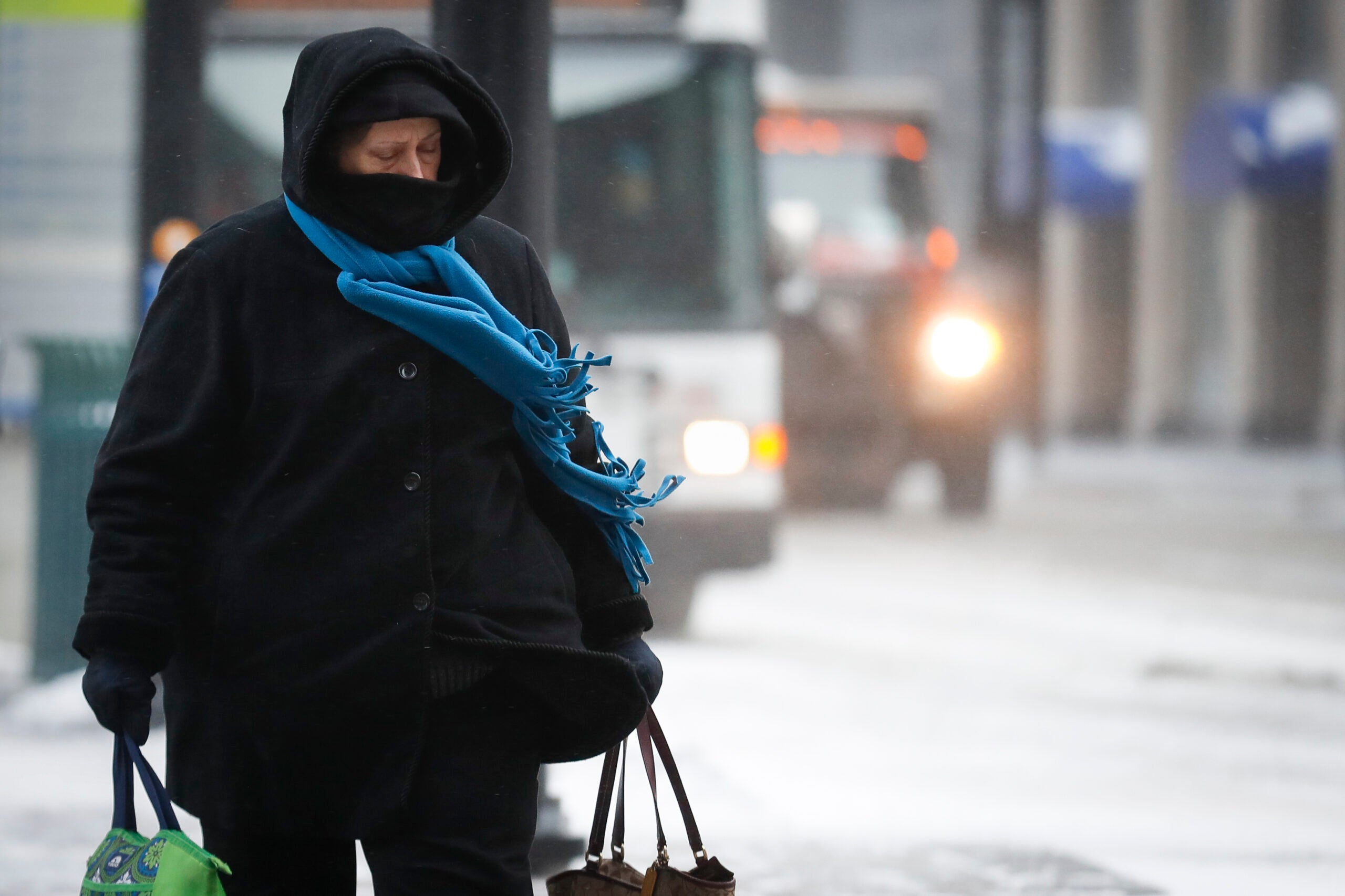
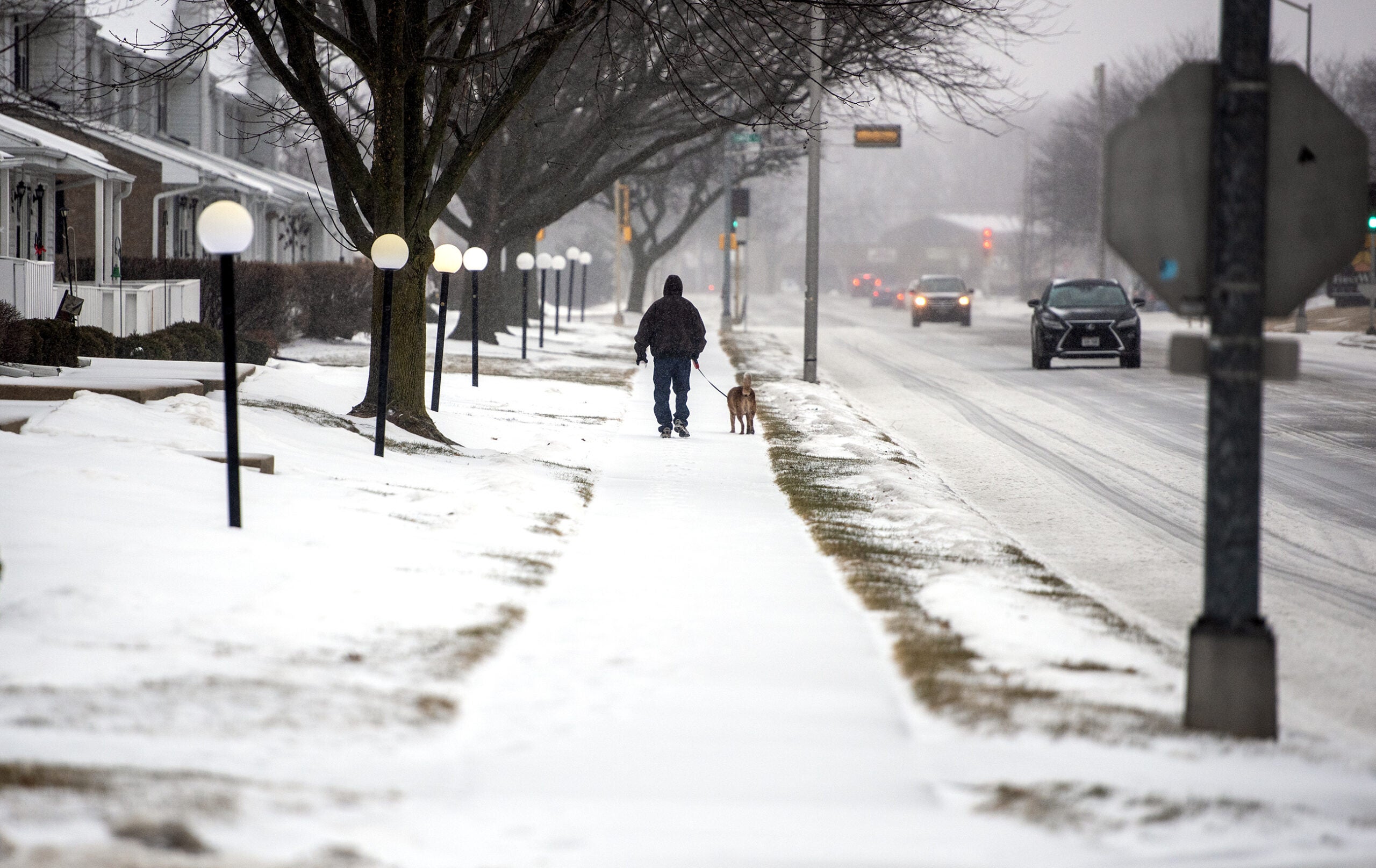
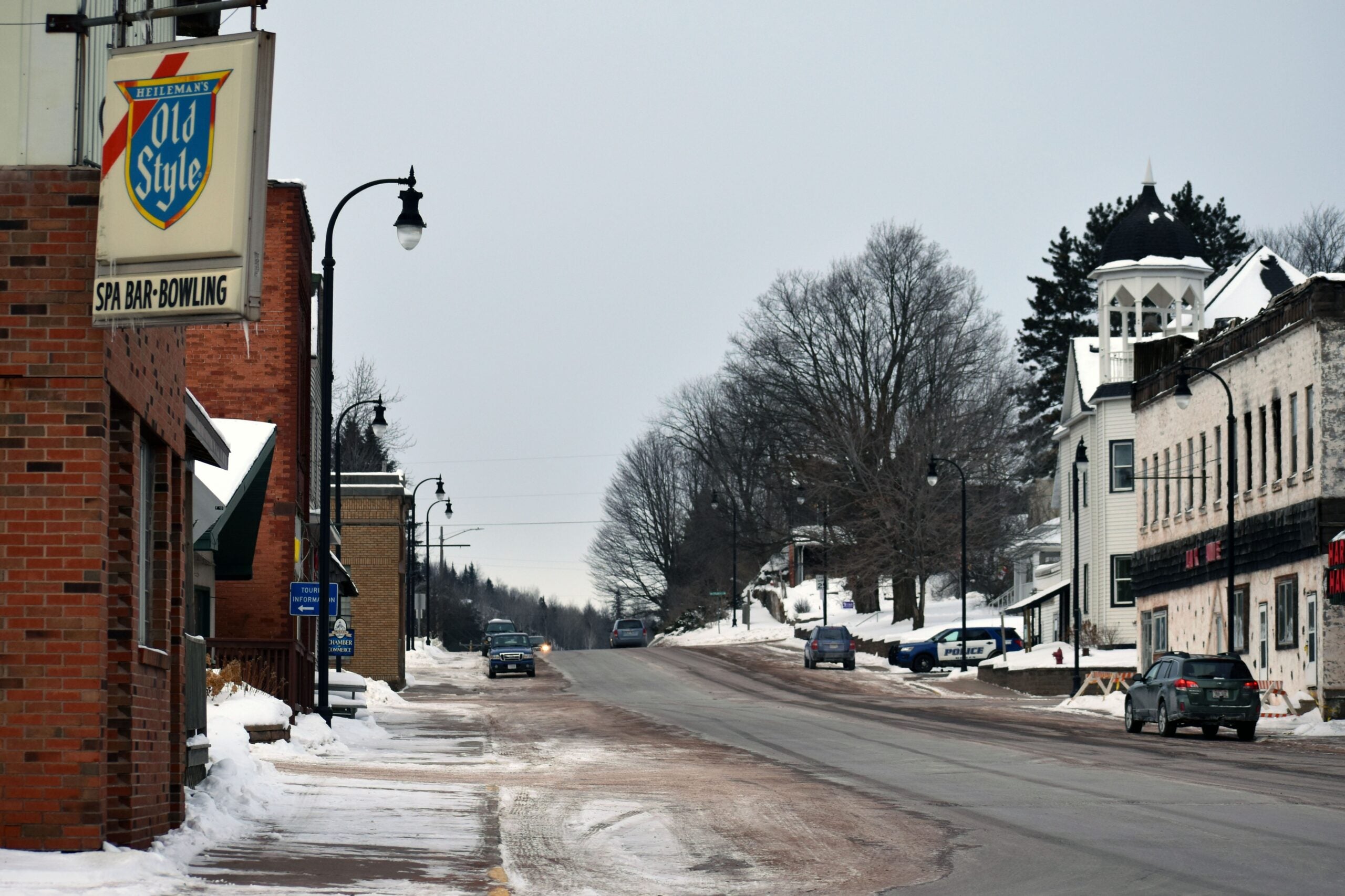
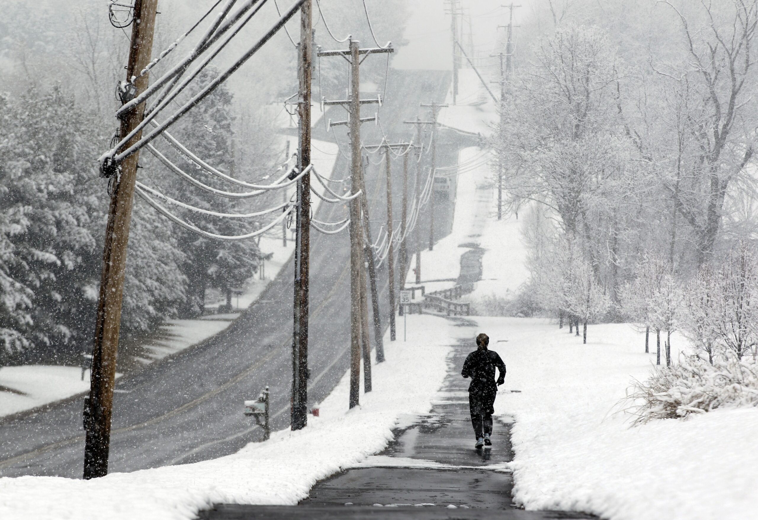
Snow is back in the forecast for Wisconsin on Wednesday.
Western, central and northern parts of the state could see 6 to 9 inches of accumulation in all, with lesser amounts expected elsewhere.
The storm isn’t expected to bring record accumulation like last week’s storms. But meteorologist Richard Mamrosh of the National Weather Service in Green Bay said it could complicate Wednesday morning’s commute.
Stay informed on the latest news
Sign up for WPR’s email newsletter.
“The snow will be moving into the southwestern half of Wisconsin during the morning hours,” Mamrosh said. “So people driving to work or school in La Crosse, Madison, Janesville areas and maybe even Milwaukee, will have to drive through some snow.”
“The snow won’t arrive further to the northeast — say, in Rhinelander, Green Bay, Sturgeon Bay — until closer to mid-morning. In those areas, you’d have a tough commute home,” he said.
A Winter Weather Advisory is in effect from early Wednesday morning through the day for several inches of snow and minor ice accumulation. #swiwx pic.twitter.com/vr9ammOqyX
— NWS Milwaukee (@NWSMKX) February 19, 2019
Mamrosh said unlike several other recent storms, this one isn’t likely to make roads icy.
“There may be some freezing drizzle or some very light freezing rain as the snow ends, but that will probably be of little consequence because it’s already falling on snow,” he said.
The storm should wrap up by Thursday morning, but a stronger system is set to move through the state on Sunday.
Wisconsin Public Radio, © Copyright 2025, Board of Regents of the University of Wisconsin System and Wisconsin Educational Communications Board.

