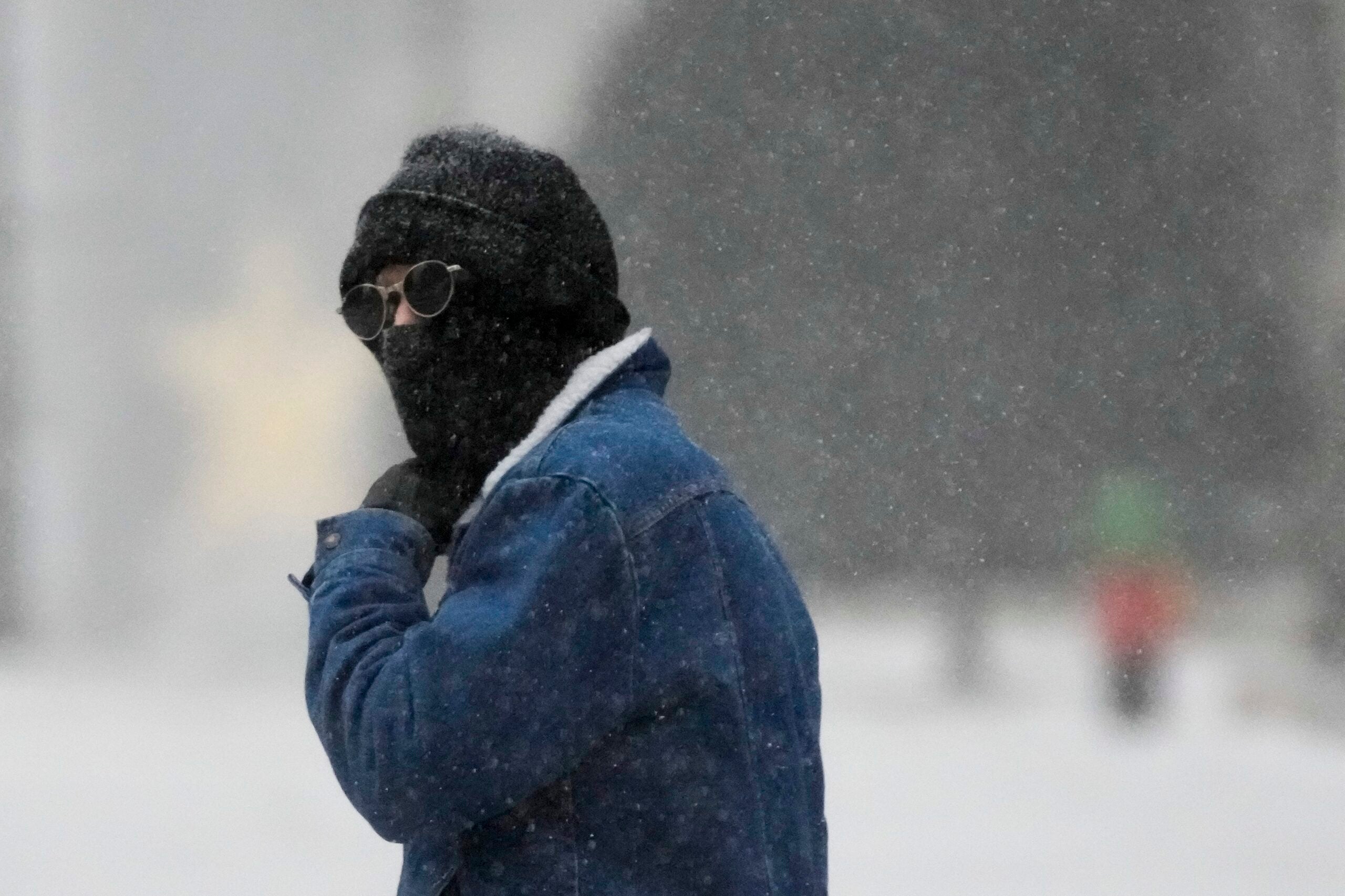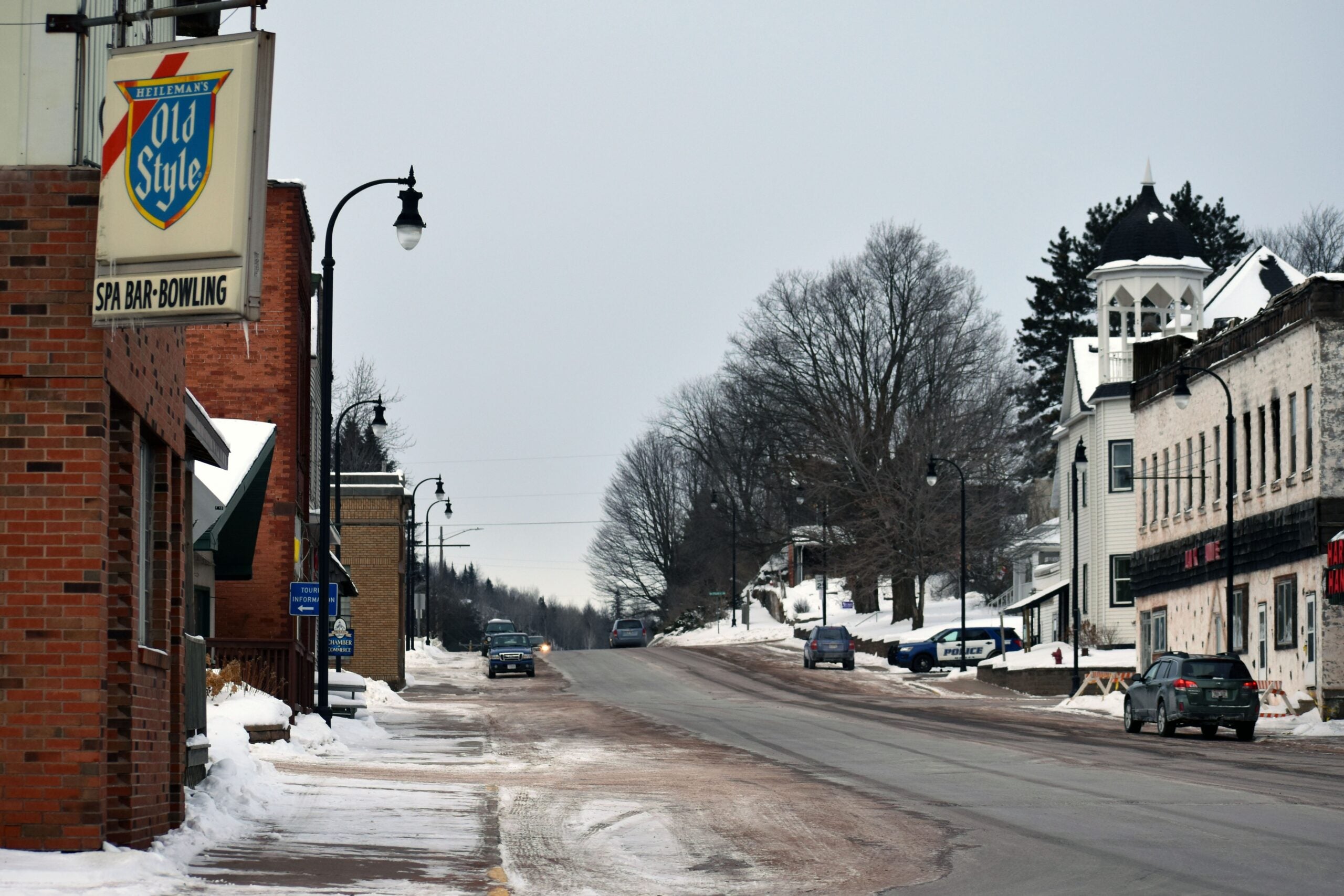
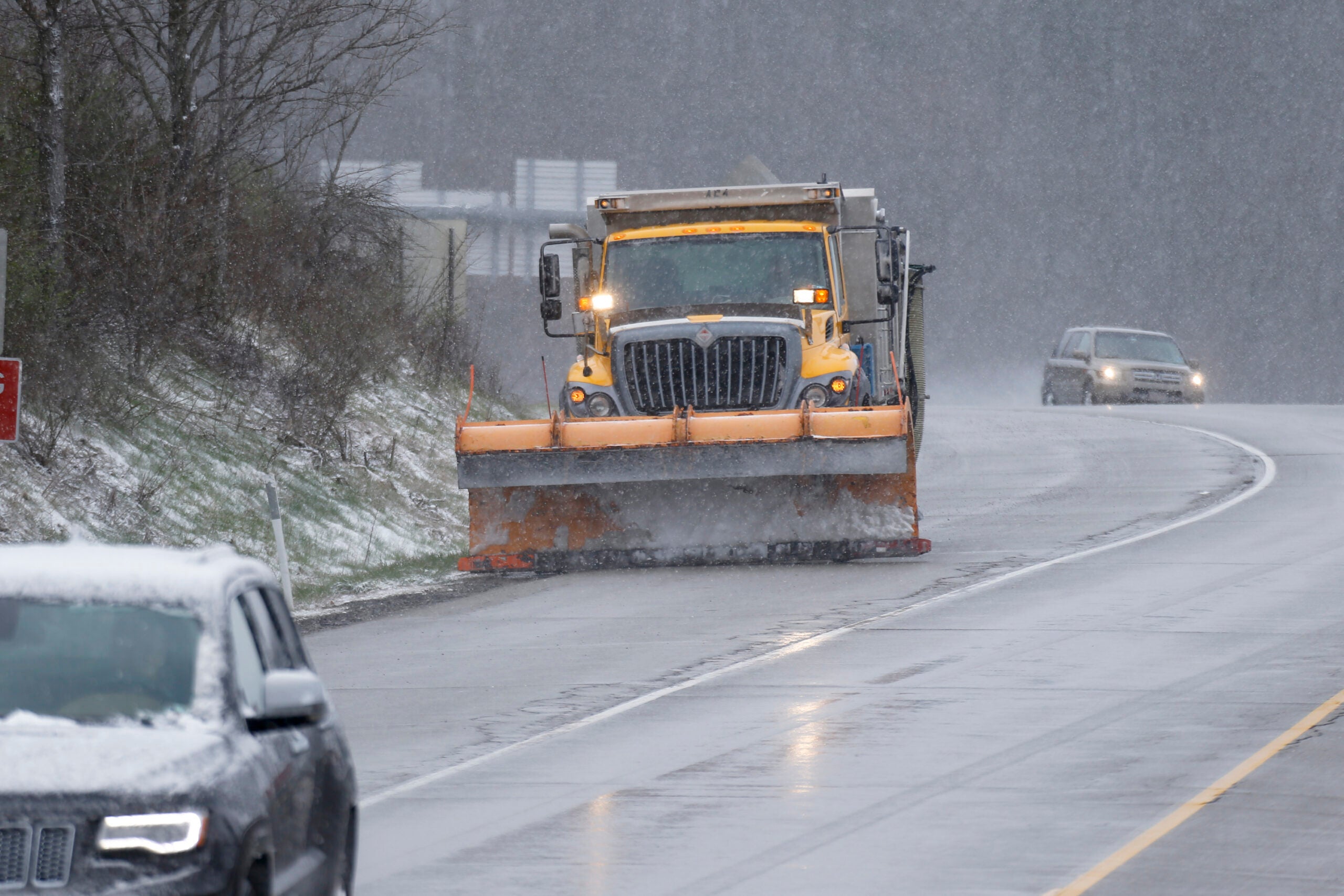
Wisconsin is gearing up for a snowy weekend.
Forecasters say the system is bringing a range of precipitation, with snow, heavy rain, freezing rain, thunderstorms and hail all possible.
The National Weather Service in Sullivan reported hail Friday morning in Baraboo, Kewaskum and Beaver Dam, among other areas.
Stay informed on the latest news
Sign up for WPR’s email newsletter.
Forecasters expect Friday’s rainy weather to transition into snow by Friday evening in northern Wisconsin, which could see 10 to 14 inches of snow between Friday evening and Sunday.
The rest of the state will see less snow but could also see several inches of rain and freezing rain.
Wind gusts of up to 40 miles per hour are also possible.
Meteorologist Steve Davis of NWS said the storm system will move slowly throughout the region.
“It’s not going to just be steady everywhere during that whole time. It’ll come in waves, like any big systems like this do,” Davis said. “But overall, we’re just predicting a wet weekend from this afternoon right through Sunday. In fact, parts of eastern Wisconsin could see this stuff lingering into Monday morning.”
A few areas of sleet this morning. Mostly rain across the area today, transitioning over to sleet across the north. #wiwx pic.twitter.com/GJ9FBKCE9P
— NWS Green Bay (@NWSGreenBay) April 13, 2018
Davis said the storm isn’t expected to cause major issues for the evening commute, because road and sidewalk temperatures should stay above freezing.
“Snow will become a problem as we get into late tonight and into Saturday, especially across the northern third of the state. That area will transition to snow first,” he said. “So if folks are heading up to their cabins way up north, they better get there soon.”
Early spring in the state has felt more like winter in most areas. Northern Wisconsin has seen more than a foot of snow in the last few weeks, while temperatures in southern Wisconsin have been the coldest recorded for early April in decades.
Forecasters say the state could see more cold conditions and potentially more mixed precipitation next week.

Wisconsin Public Radio, © Copyright 2025, Board of Regents of the University of Wisconsin System and Wisconsin Educational Communications Board.