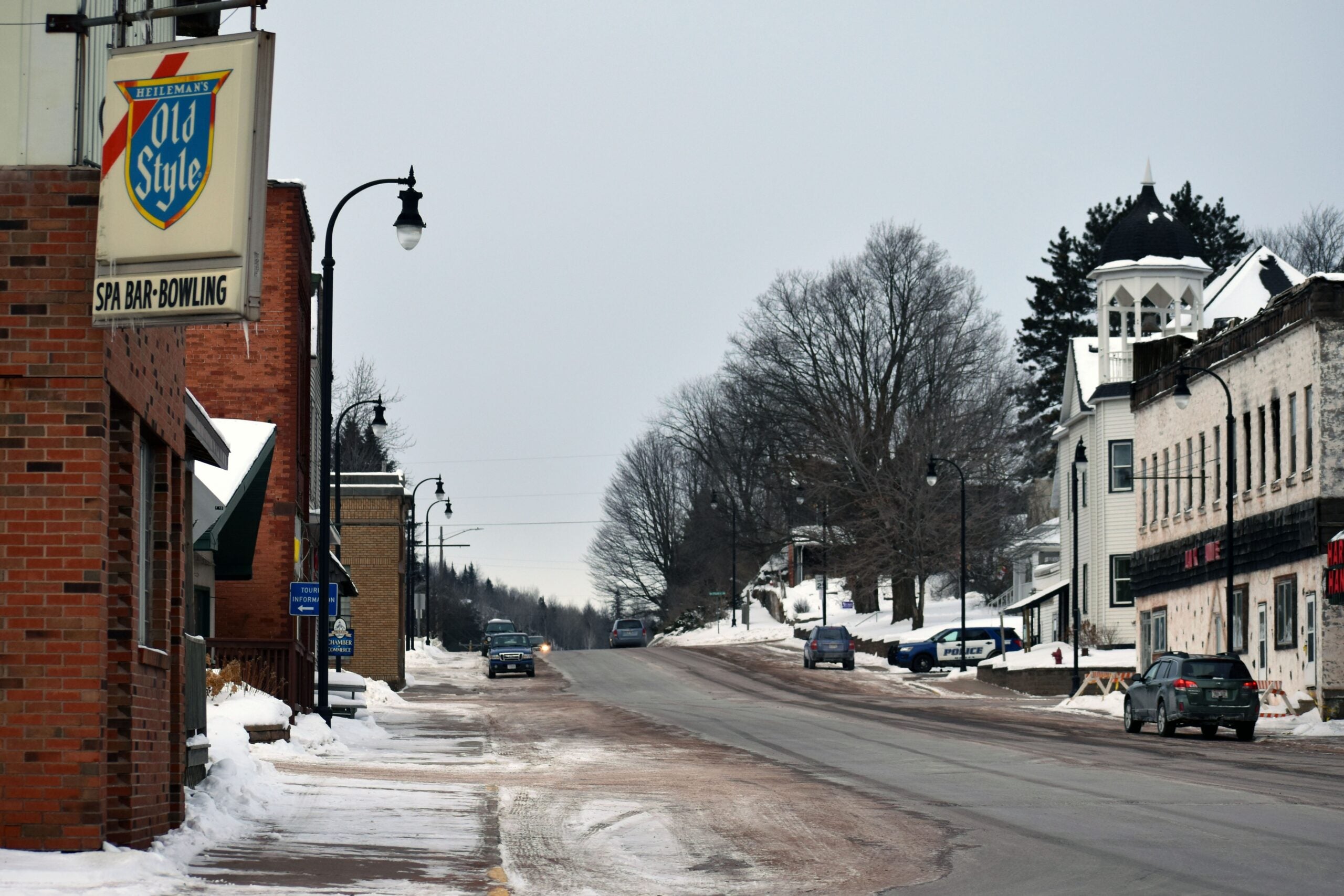
Spring is slow to arrive in northern Wisconsin, where a major winter storm is set to hit Thursday night and extend into Friday.
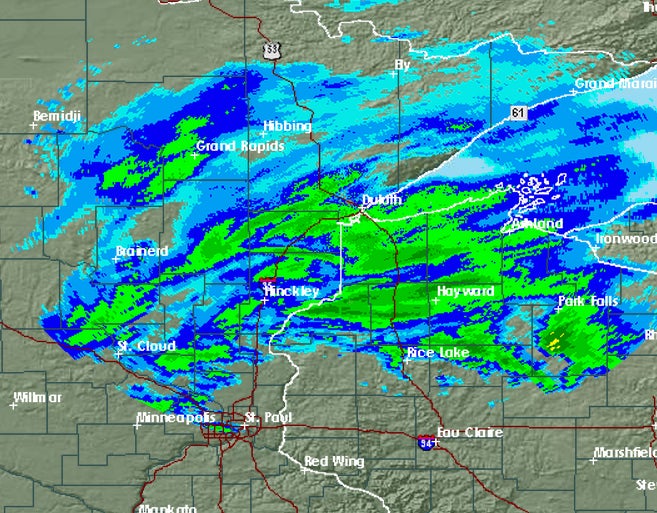
“Northwestern Wisconsin is going to be the hardest-hit area: 10-18 inches forecast along that area,” said Melody Lovin, a meteorologist with the National Weather Service (NWS) in Duluth. “And the heaviest snow is going to come overnight after dark. When you wake up in the morning, you could definitely have some significant snow already on the ground.”
Snow totals will be highest in northwest Wisconsin, with the NWS forecasting about six to nine inches from Rice Lake to Florence. Central and northeastern parts of the state could see ice accumulations of up to a quarter of an inch. Wind gusts of up to 30 miles per hour are also expected.
Stay informed on the latest news
Sign up for WPR’s email newsletter.
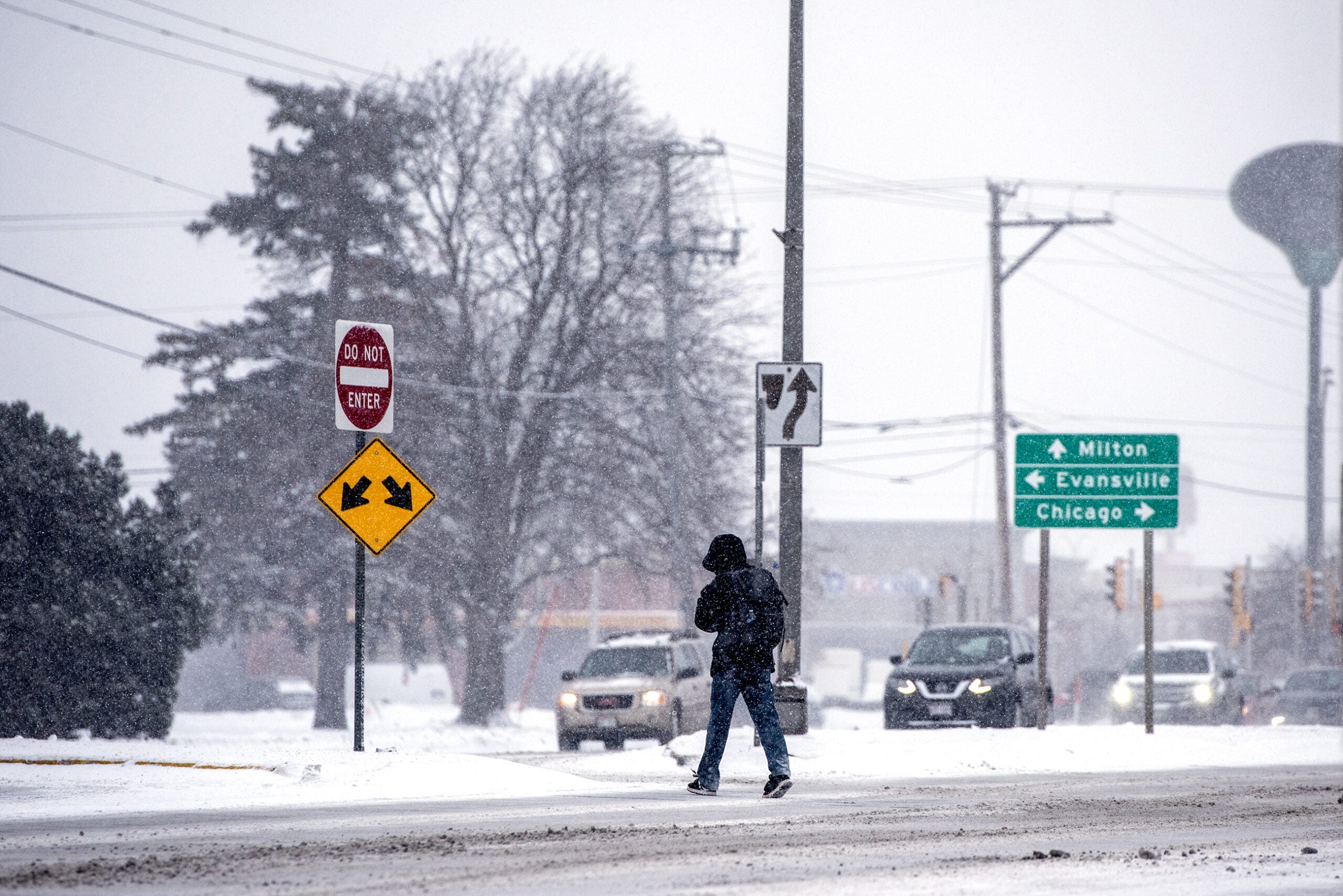
The storm may make for some pretty treacherous travel in central and northern Wisconsin on Thursday night and Friday.
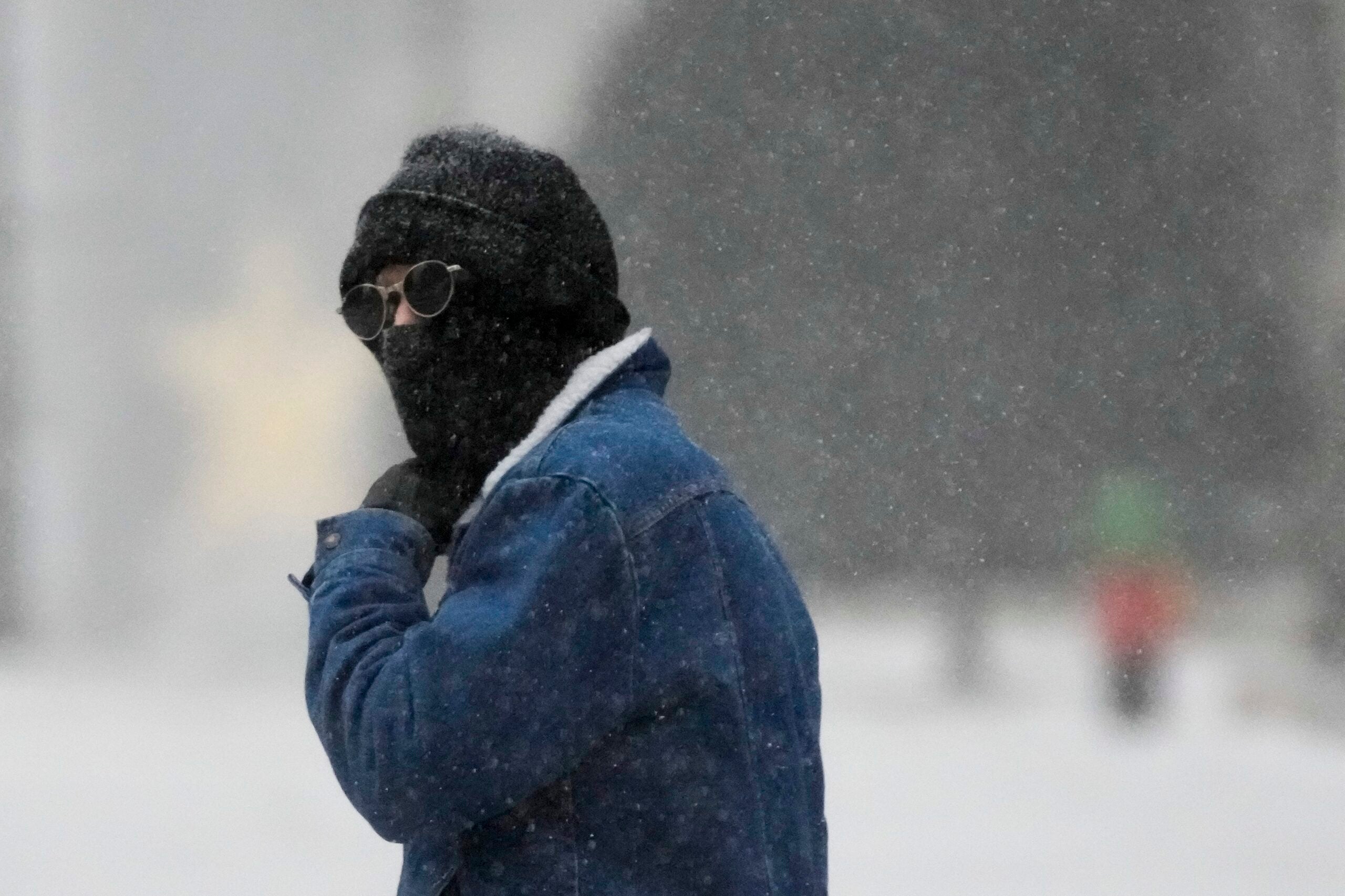
“I think for the next 24 hours Wisconsin has got a triple whammy coming: Heavy snow, ice, and wind,” said Tod Pritchard, a spokesman for Wisconsin Emergency Management. “And those three in combination is going to make for very difficult driving conditions and the huge potential for downed trees, powerlines, that kind of thing.”
Pritchard says people should make sure they have the supplies they need now, because there may be power outages and travel in some areas will be difficult to impossible.
Wisconsin Public Radio, © Copyright 2025, Board of Regents of the University of Wisconsin System and Wisconsin Educational Communications Board.
