Editor’s note: This story is being updated as the winter storm moves through the state. Last update was at 10:30 p.m. on Feb. 2.
Even as a winter storm is appearing to wind down after pummeling much of Wisconsin, another wave of snow is expected to arrive late Tuesday and could drop another inch or two.
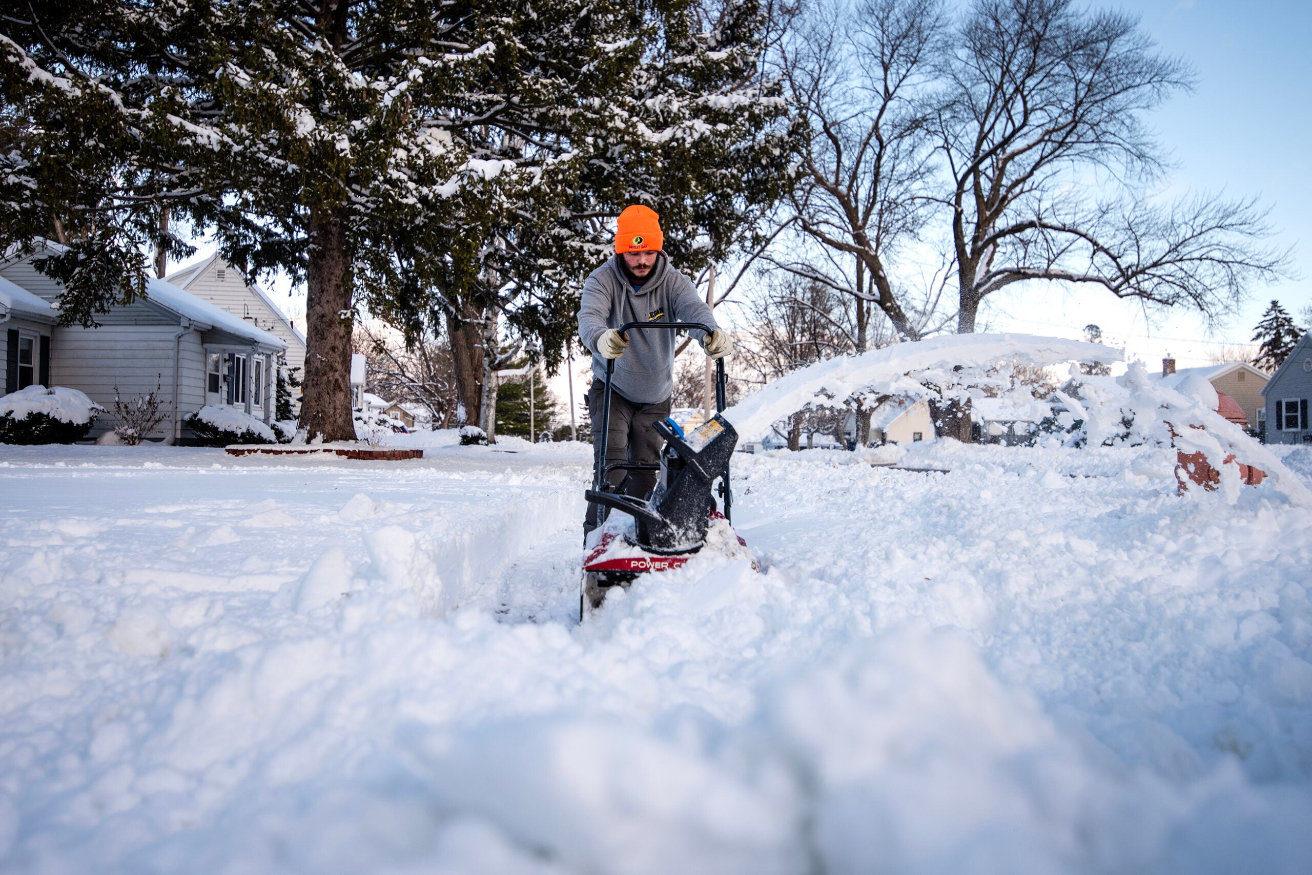
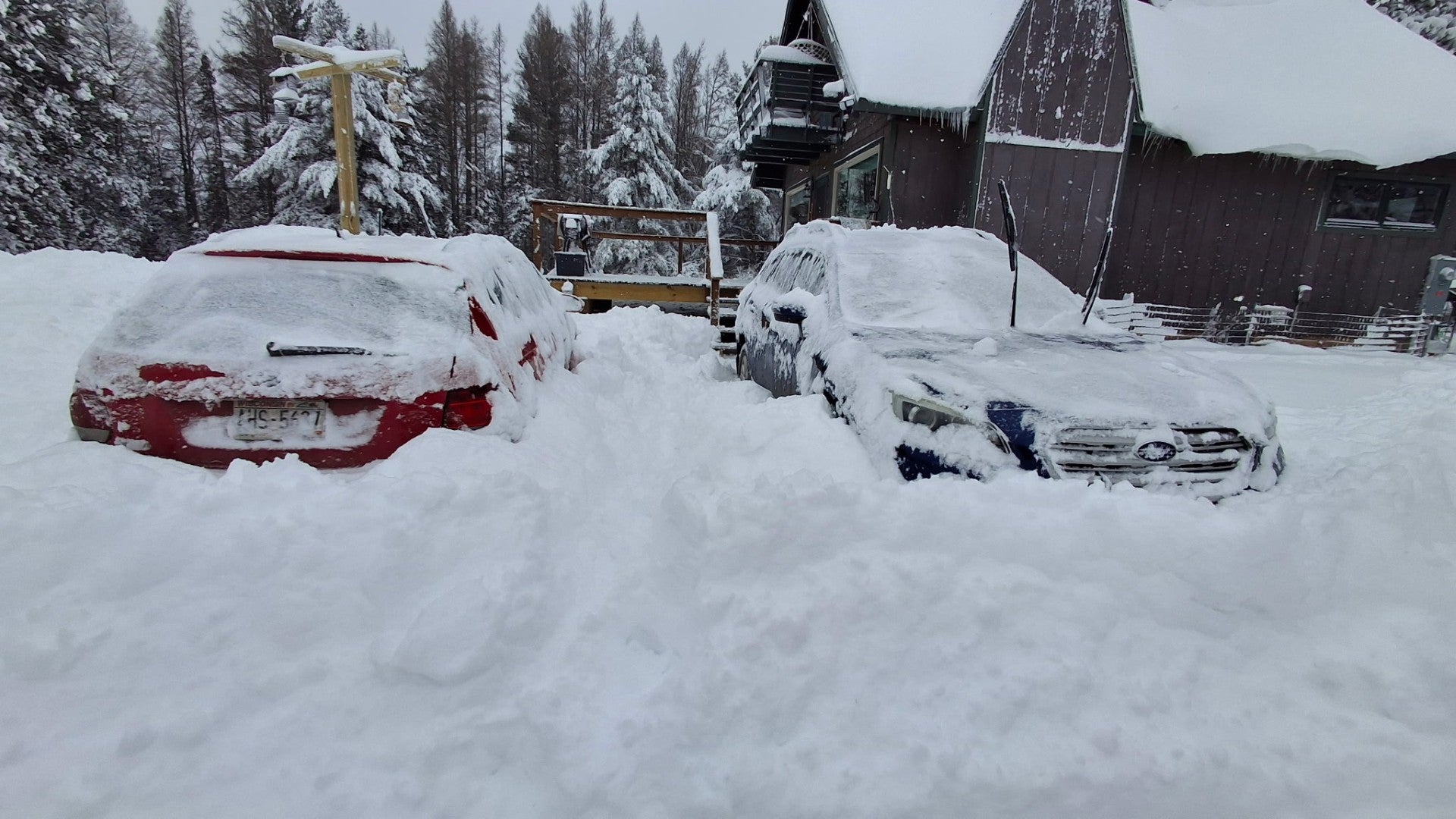
The storm dumped several inches of snow across a broad section of the state Tuesday, coating roads and making travel hazardous. The National Weather Service reports 7.5 inches of snow near La Crosse, 7 inches north of Oxford and more than 5 inches near Howard.
News with a little more humanity
WPR’s “Wisconsin Today” newsletter keeps you connected to the state you love without feeling overwhelmed. No paywall. No agenda. No corporate filter.
Meteorologists predicted that a total of 8 to 12 inches of snow will fall on central and northeastern Wisconsin between Tuesday afternoon and Wednesday morning as a result of the weather event.
Roy Eckberg, a meteorologist with the National Weather Service in Green Bay, said Tuesday that with colder air moving in, “the snow should get fluffier overnight.”
Eckberg also said a phenomenon known as thundersnow — which he described as “a thunderstorm that produces snow instead of rain” — could drop heavy snow very quickly. Thundersnow is caused by an unstable atmosphere and temperatures below freezing.
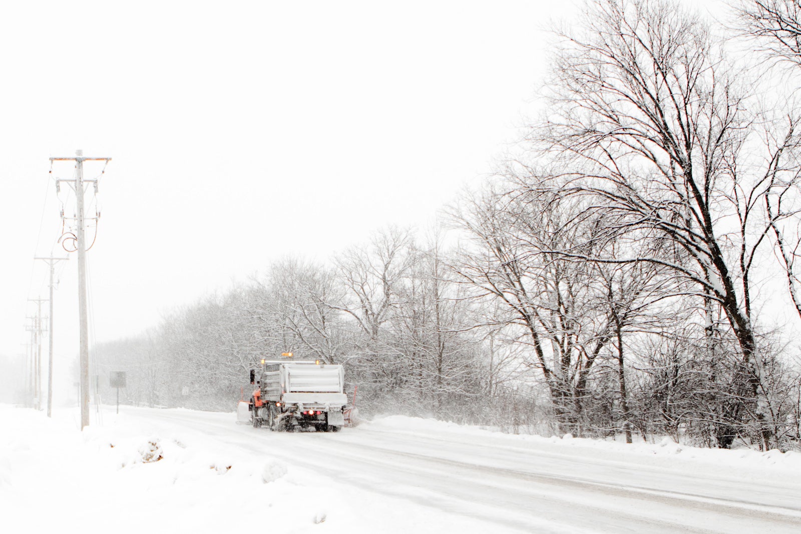
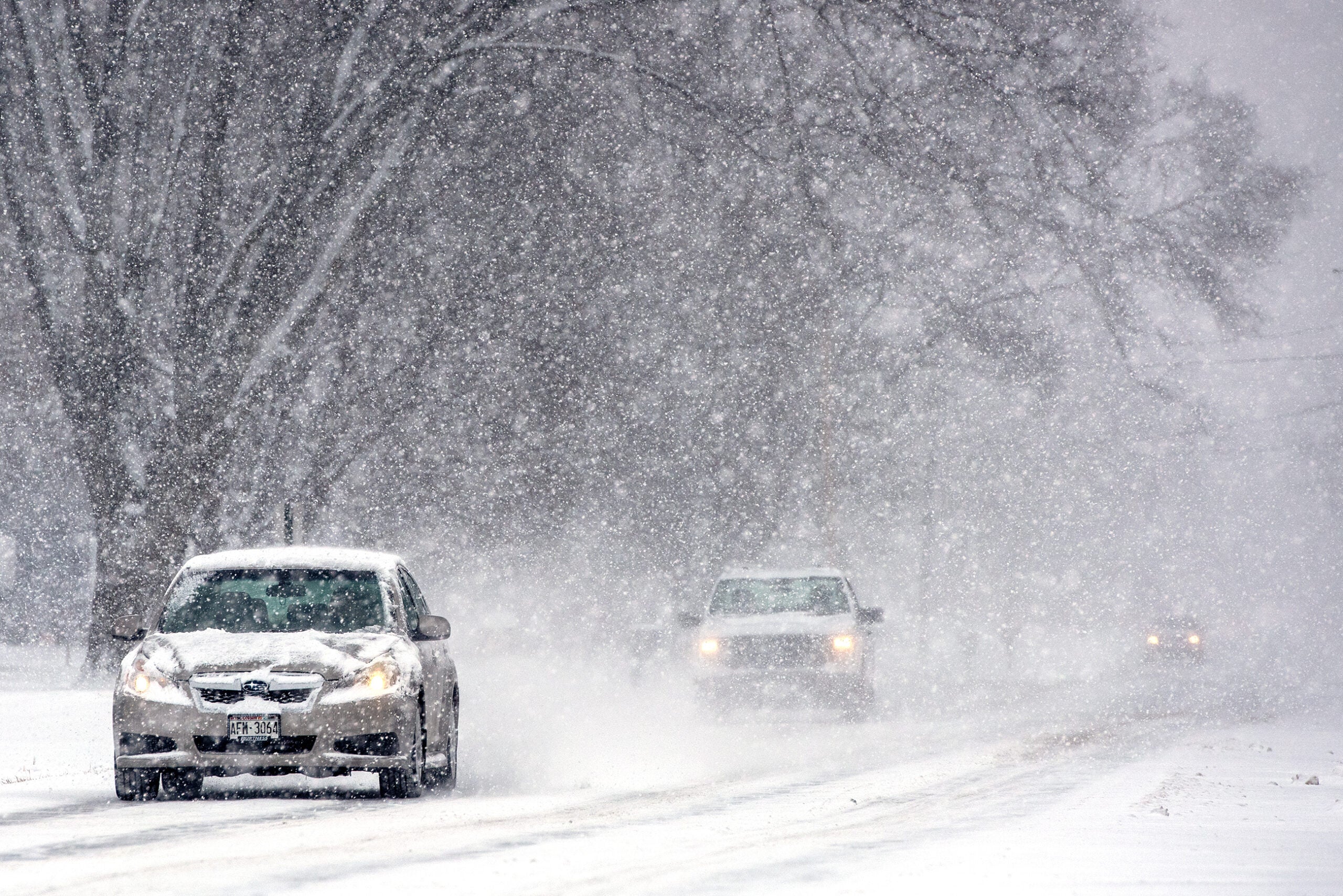
Road conditions are deteriorating as the winter storm pushes across Wisconsin. The Wisconsin Department of Transportation is advising no travel on some state highways in central Wisconsin, including Interstate 39 between Portage and Coloma.
Meanwhile, thousands of students across Wisconsin took the day off because of travel conditions. Among the many school districts that decided it would be better to keep children at home are Beaver Dam, Cassville, Columbus, Boscobel, Cambria-Friesland, Green Lake, Mayville, Mauston and Portage.
The storm was born in the Four Corners region of the southwestern U.S., drawing moisture from the Gulf.
Wisconsin Public Radio, © Copyright 2025, Board of Regents of the University of Wisconsin System and Wisconsin Educational Communications Board.

